Trail Canyon
- 11.0 mi
- round trip
- 2,513 ft
- climb
- 10,167 ft
- high point
- Out and back
- route
Is Trail Canyon open right now?
Closure in the area
There's a closure order in Ely Ranger District. It doesn't name Trail Canyon, so check the source for the area it covers (2 listed).
Ward Fire Closure (Ely Ranger District)
Agency closure covering Ely Ranger District · Order 04-17-26-09-02 · USFS · Ely Ranger District
Elephant Fire Closure
Agency closure covering Humboldt-Toiyabe National Forest · Order 04-17-26-01-04 · USFS · Humboldt-Toiyabe National Forest
Area, Road, and Trail Closures (Spring Mountains National Recreation Area)
Agency alert covering Humboldt-Toiyabe National Forest · Order 04-17-25-04 · USFS · Humboldt-Toiyabe National Forest
Year-Round Fire Restrictions (Spring Mountains National Recreation Area)
Agency alert covering Humboldt-Toiyabe National Forest · Order 04-17-24-01 · USFS · Humboldt-Toiyabe National Forest
Vehicle Snow Chain Requirements during Inclement Weather (Spring Mountains National Recreation Area)
Agency alert covering Humboldt-Toiyabe National Forest · Order 04-17-23-01 · USFS · Humboldt-Toiyabe National Forest
As of · Source: USFS · Ely Ranger District. Agencies don't list every closure — check before you go.
Trail Canyon is a hard hike in the Ely Ranger District of the Humboldt-Toiyabe National Forest in Nevada, about 11 miles long and roughly 2,500 feet of elevation gain one way. The trail is managed by the Forest Service and is rated hard, so plan for a long, steep day. The route is an out-and-back that starts at about 7,360 feet and climbs to about 10,167 feet. It is a natural-surface trail, and horses are allowed. Bikes are not. Several other hikes lie within a few miles. Main Fork Creek Trail is about 2.3 miles away, Silver Creek about 3.4 miles, and Rock Canyon and Negro Creek are both within about 6 miles.
Keep exploring — more trails worth the drive
 Photo: Seth Tisue, CC BY-SA 2.0 (via Flickr)
Osceola Ditch Trailhead
~19 min drive
The Osceola Ditch Trailhead is located about 4.5 miles up the Wheeler Peak Scenic Drive. The Osceola Ditch Trail follows the path of a historic mining ditch used to carry water from Lehman Creek to the mining boomtown of Osceola. Due to trail damage resulting from the 2016 Str…
 Photo: paulinkenbrandt, CC BY-SA 2.0 (via Flickr)
Osceola Ditch Trail
~19 min drive
5.23-mile out-and-back trail in Nevada with 1,375 ft elevation gain.
 Photo: Seth Tisue, CC BY-SA 2.0 (via Flickr)
Wheeler Peak
~21 min drive
Standard route to Wheeler Peak (13,065 ft) from Summit.
HIKE
Second Fork
~10 min drive
6.58-mile out-and-back trail in Nevada with 1,501 ft of elevation gain.
HIKE
Lehman Creek Trailhead
~21 min drive
Lehman Creek Trailhead is located in the Upper Lehman Creek Campground. This trailhead offer access to the Lehman Creek trail. This trailhead also is the point of access for the alpine lakes and bristlecone area during the winter. Parking is limited, please follow all parking…
 Photo: paulinkenbrandt, CC BY-SA 2.0 (via Flickr)
Lower Lehman Trail
~21 min drive
0.54-mile out-and-back trail in Nevada with 233 ft of elevation gain.
HIKE
Mt. Moriah
~12 min drive
2.32-mile out-and-back trail to Mt. Moriah in Nevada with 971 ft of elevation gain.
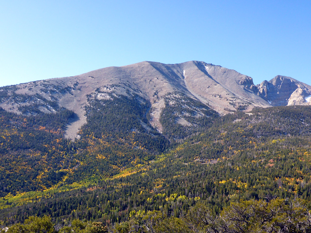 Photo: simonov, CC BY-SA 2.0 (via Flickr)
Osceola Ditch Trail
~21 min drive
Historic out-and-back hike following a scenic Nevada ditch system.
Photo: Seth Tisue, CC BY-SA 2.0 (via Flickr)Wheeler Peak Summit Trail
~21 min drive
1.06-mile out-and-back hike to Wheeler Peak summit in Nevada, gaining 454 ft.
HIKE
Hendrys Creek
~13 min drive
17.20-mile out-and-back trail in Nevada with 4,658 ft elevation gain.

