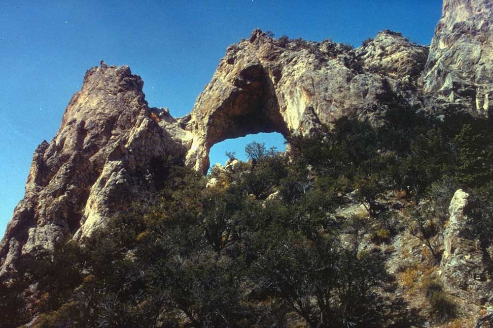
Mine Shaft Loop
- 4.4 mi
- loop
- 318 ft
- climb
- 6,955 ft
- high point
- Loop
- route
- Apr–Oct
- best months
Mine Shaft Loop is a 4.4-mile loop hike on Bureau of Land Management land in the Bristlecone Field Office in Nevada. The trail is rated moderate, with a total elevation gain of 318 feet, and it runs on natural surface. The most comfortable months for a visit are typically June and September. Typical averages from a nearby weather station show June highs around 76°F and September highs around 73°F, with lows near 49°F and 48°F. That station sits at about 6,850 feet, roughly the same as the trail's low point of 6,574 feet and high of 6,955 feet. Bikes are allowed on the loop, but horses are not. Lucky Boy Loop and Sac Pass Loop are both within a mile, and Osceola Ditch Trail and Sage Steppe loop trail are a little over 3 miles away.
Best time to go · Apr–Oct
Best time to visit Mine Shaft Loop
Best months: April–October. Best months have typical highs of 55–85 °F, lows of 30 °F or warmer (32 °F where the station doesn't record snow), at most one snowy day and no more than 12 wet days.
Jan
40° / 20°
6 wet
Feb
41° / 21°
7 wet
Mar
48° / 27°
7 wet
Apr
55° / 32°
7 wet
May
64° / 40°
7 wet
Jun
76° / 49°
5 wet
Jul
85° / 58°
7 wet
Aug
83° / 56°
7 wet
Sep
73° / 48°
6 wet
Oct
60° / 36°
5 wet
Nov
48° / 26°
6 wet
Dec
40° / 20°
6 wet
Typical high / low (°F) and days with rain or snow, 1991–2020. Measured at Great Basin Np, NV, 8 mi away at 6,850 ft. This station doesn't record snowfall. Source: NOAA NCEI U.S. Climate Normals 1991–2020.
Keep exploring — more trails worth the drive
 Photo: paulinkenbrandt, CC BY-SA 2.0 (via Flickr)
Osceola Ditch Trail
~10 min drive
5.23-mile out-and-back trail in Nevada with 1,375 ft elevation gain.
 Photo: Seth Tisue, CC BY-SA 2.0 (via Flickr)
Osceola Ditch Trailhead
~10 min drive
The Osceola Ditch Trailhead is located about 4.5 miles up the Wheeler Peak Scenic Drive. The Osceola Ditch Trail follows the path of a historic mining ditch used to carry water from Lehman Creek to the mining boomtown of Osceola. Due to trail damage resulting from the 2016 Str…
 Photo: Seth Tisue, CC BY-SA 2.0 (via Flickr)
Wheeler Peak
~11 min drive
Standard route to Wheeler Peak (13,065 ft) from Summit.
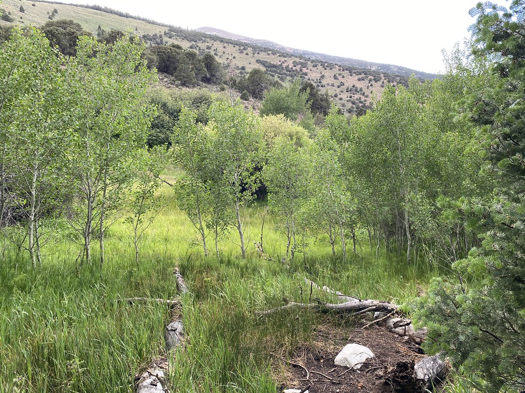 Photo: Ken Lund, CC BY-SA 2.0 (via Flickr)
Timber Creek Trail
~16 min drive
7.22-mile out-and-back trail in Nevada with 3,290 ft gain/loss and a max elevation of 9,859 ft.
Photo: Seth Tisue, CC BY-SA 2.0 (via Flickr)Wheeler Peak Summit Trail
~11 min drive
1.06-mile out-and-back hike to Wheeler Peak summit in Nevada, gaining 454 ft.
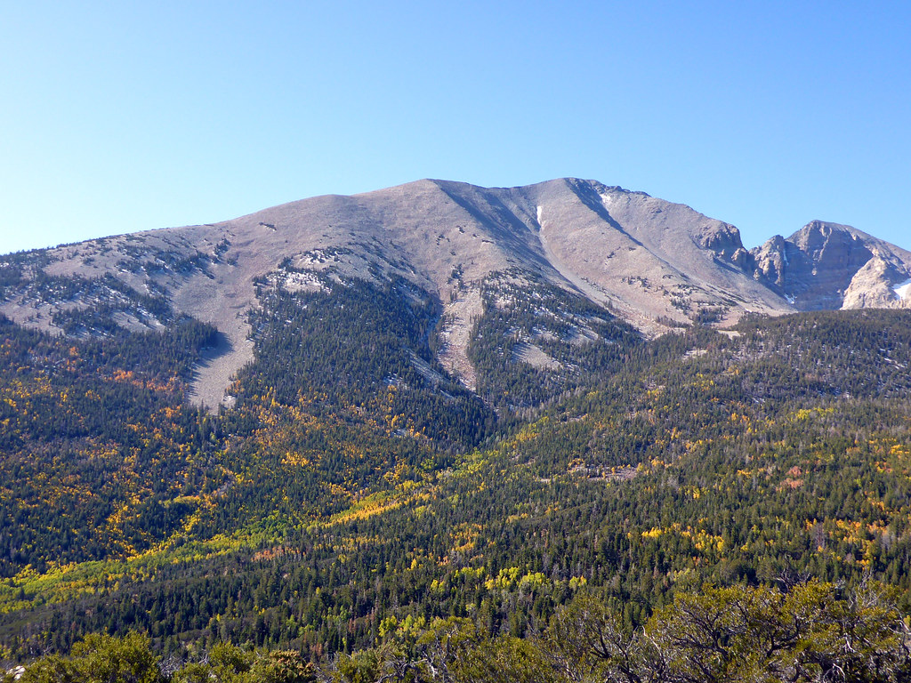 Photo: simonov, CC BY-SA 2.0 (via Flickr)
Osceola Ditch Trail
~11 min drive
Historic out-and-back hike following a scenic Nevada ditch system.
 Photo: Ken Lund, CC BY-SA 2.0 (via Flickr)
Wheeler Peak Summit Trail
~12 min drive
Wheeler Peak Summit Trail is a 3.03-mile out-and-back trail in Nevada.
HIKE
Osceola Road
~7 min drive
A 5.73-mile out-and-back trail in Nevada.
HIKE
Summit Trailhead
~11 min drive
The Summit Trailhead gives access to the Wheeler Summit Trail. This trail leads to the summit of Wheeler Peak, over 4.2 miles one way. This trail is considered strenuous and hikers should be prepared for a steep and exposed hike. Thunderstorms and high winds are common. Durin…
HIKE
Lehman Creek Trailhead
~12 min drive
Lehman Creek Trailhead is located in the Upper Lehman Creek Campground. This trailhead offer access to the Lehman Creek trail. This trailhead also is the point of access for the alpine lakes and bristlecone area during the winter. Parking is limited, please follow all parking…