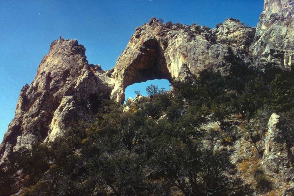
Osceola Ditch Trailhead
 Photo: Seth Tisue, CC BY-SA 2.0 (via Flickr)
- 3.3 mi
- round trip
- 1,436 ft
- climb
- 8,230 ft
- high point
- Out and back
- route
- Apr–Oct
- best months
Is Osceola Ditch Trailhead open right now?
Closure in the area
There's a closure order in Great Basin National Park. It doesn't name Osceola Ditch Trailhead, so check the source for the area it covers (2 listed).
Wheeler Peak Scenic Drive Winter Closure
Park closure covering Great Basin National Park · NPS · Great Basin National Park
Prescribed Fire Area Closure - Baker Creek
Park closure covering Great Basin National Park · NPS · Great Basin National Park
As of · Source: NPS · Great Basin National Park. Agencies don't list every closure — check before you go.
Osceola Ditch Trailhead is a trailhead in Great Basin National Park in Nevada, about 4.5 miles along the Wheeler Peak Scenic Drive. The National Park Service manages the land, and the trail follows the route of a historic mining ditch that carried water from Lehman Creek to the mining town of Osceola. The trail is currently open for 1.5 miles from the trailhead to Mill Creek. This is the extent of the trail after the 2016 Strawberry Fire caused damage. Parking is limited, so plan to follow all parking and driving regulations. The trail is an out-and-back of about 3.3 miles with a total elevation gain of about 42 feet, so it's a short walk that fits easily into a trip along the Wheeler Peak Scenic Drive. Summer is the most comfortable season to visit. Typical averages from a nearby weather station show July highs around 85°F with lows near 58°F, and September is milder, with highs around 73°F. That station sits well below the trail, so temperatures on the trail run cooler. Nearby, Lehman Creek Trailhead and the Lower Lehman Trail are about a mile and a half away. The Wheeler Peak Summit Trail and Wheeler Peak are both about 2.2 miles from the trailhead.
 Osceola Ditch TrailHikingPhoto: paulinkenbrandt, CC BY-SA 2.0 (via Flickr)0.1 mi
 Lehman Creek TrailheadHikingPhoto: NPS / public domain1.2 mi
 Lower Lehman TrailHikingPhoto: paulinkenbrandt, CC BY-SA 2.0 (via Flickr)1.6 mi
 Wheeler Peak Summit TrailHikingPhoto: Seth Tisue, CC BY-SA 2.0 (via Flickr)2.2 mi
- Wheeler PeakHikingPhoto: Seth Tisue, CC BY-SA 2.0 (via Flickr)2.2 mi
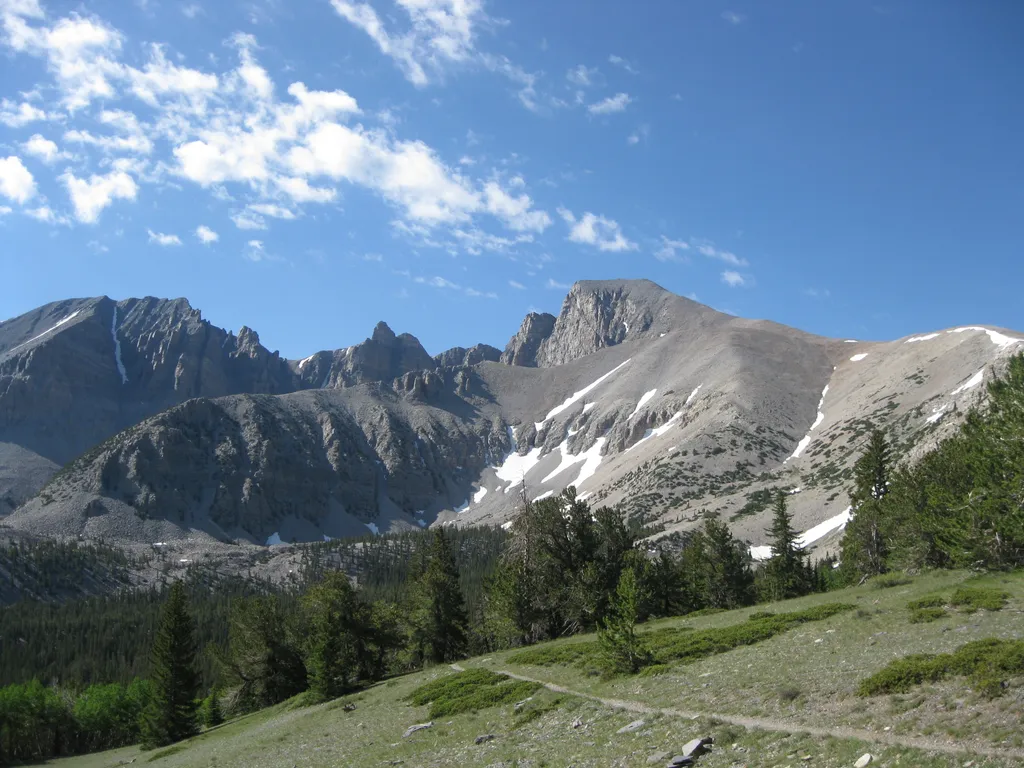 Summit TrailheadHikingPhoto: NPS / public domain2.3 mi
- Sage Steppe loop trailHiking2.7 mi
- Mountain View Nature TrailHiking2.9 mi
Source: Roamze catalog (indexable pages within 10 miles, PostGIS distance)
- Osceola Ditch TrailHiking · Next doorPhoto: paulinkenbrandt, CC BY-SA 2.0 (via Flickr)
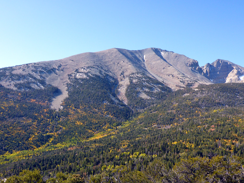 Osceola Ditch TrailHiking · ~2 min drivePhoto: simonov, CC BY-SA 2.0 (via Flickr)
- Wheeler PeakHiking · ~4 min drivePhoto: Seth Tisue, CC BY-SA 2.0 (via Flickr)
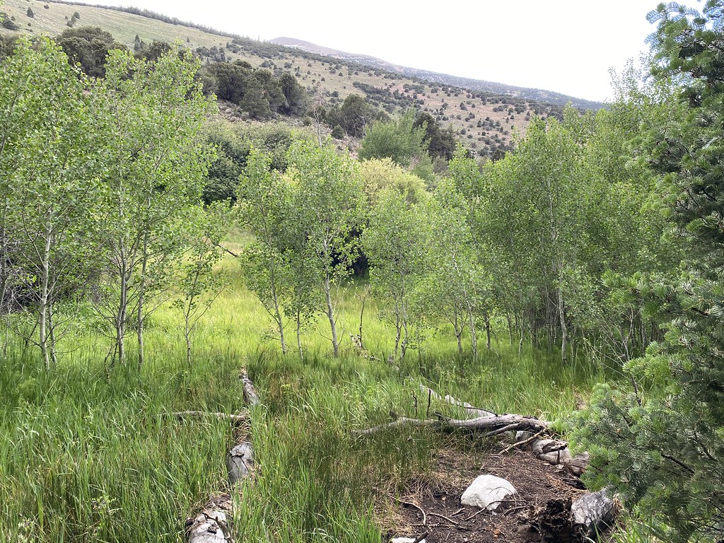 Timber Creek TrailHiking · ~6 min drivePhoto: Ken Lund, CC BY-SA 2.0 (via Flickr)
- Lower Lehman TrailHiking · ~3 min drivePhoto: paulinkenbrandt, CC BY-SA 2.0 (via Flickr)
- Lehman Creek TrailheadHiking · ~2 min drive
 Wheeler Peak Summit TrailHiking · ~6 min drivePhoto: Ken Lund, CC BY-SA 2.0 (via Flickr)
- Osceola RoadHiking · ~13 min drive
- Wheeler Peak Summit TrailHiking · ~4 min drivePhoto: Seth Tisue, CC BY-SA 2.0 (via Flickr)
- Alpine Lakes Loop TrailHiking · ~6 min drivePhoto: Ken Lund, CC BY-SA 2.0 (via Flickr)
Best time to visit Osceola Ditch Trailhead
Best months: April–October. Best months have typical highs of 55–85 °F, lows of 30 °F or warmer (32 °F where the station doesn't record snow), at most one snowy day and no more than 12 wet days.
Jan
40° / 20°
6 wet
Feb
41° / 21°
7 wet
Mar
48° / 27°
7 wet
Apr
55° / 32°
7 wet
May
64° / 40°
7 wet
Jun
76° / 49°
5 wet
Jul
85° / 58°
7 wet
Aug
83° / 56°
7 wet
Sep
73° / 48°
6 wet
Oct
60° / 36°
5 wet
Nov
48° / 26°
6 wet
Dec
40° / 20°
6 wet
Typical high / low (°F) and days with rain or snow, 1991–2020. Measured at Great Basin Np, NV, 2.9 mi away at 6,850 ft. The station sits about 1,400 ft lower than this place, so expect it a little cooler here. This station doesn't record snowfall. Source: NOAA NCEI U.S. Climate Normals 1991–2020.