Free — you'll pick up right here.
Watch this trail
Sign up to watch it — saving subscribes you to gate, closure and report changes.
Nevada
Alpine Lakes Loop Trail
2.5 mi
Distance
1,082 ft
Gain
No verdict for this trail
We won't guess. Here is exactly what we do and don't know.
What we do know
Inside Great Basin National Park
National Park unit boundary is mapped — agency alerts for it feed this page automatically.
Boundary data
What's missing
No access route mapped
We don't yet know which road reaches this trailhead, so we can't tell you if it's gated.
Nobody's filed a report here yet — be the first.
Why you'll love it
Here's your day, mapped
Alpine Lakes Loop Trail
AI-suggested draft · review before you go
Meals
Gear for the day
Elevation & route
- Distance
- 2.5 mi
- Elevation gain
- 1,082 ft
- Elevation loss
- 1,082 ft
- Highest point
- 10,452 ft
- Lowest point
- 9,941 ft
Photos
Directions & GPX
Permits & access
- Managing agency
- National Park Service
About this trail
The Alpine Lakes Loop Trail in Nevada offers a scenic out-and-back journey through high-elevation terrain, showcasing pristine alpine lakes and mountain vistas. This relatively short trail provides excellent access to Nevada's alpine environment with minimal elevation gain, making it ideal for hikers seeking mountain lake views without extreme exertion. The trail features typical high-desert alpine meadows and rocky terrain characteristic of Nevada's mountain ranges.
Add to a trip & share
Keep exploring — more trails worth the drive
Bristlecone Trailhead
~1 min drive
Bristlecone Trailhead is located at the end of Wheeler Peak Scenic Drive. This is one of the most popular trailheads at Great Basin National Park. The Wheeler Peak Bristlecone Grove is a 1.4-mile hike from the trailhead. This trailhead also offers access to the Sky Island Fore…
Lehman Creek Trailhead
~6 min drive
Lehman Creek Trailhead is located in the Upper Lehman Creek Campground. This trailhead offer access to the Lehman Creek trail. This trailhead also is the point of access for the alpine lakes and bristlecone area during the winter. Parking is limited, please follow all parking…
Baker Creek Trailhead
~8 min drive
Located about three miles up the Baker Creek Road, the Baker Creek Trailhead has access to three trails; South Fork Baker trail, Timber Creek Trail, and Baker Lake. These trails venture through aspen groves and pine tree stands up to alpine lakes and meadows. Parking is limit…
Osceola Ditch Trail
~5 min drive
5.23-mile out-and-back trail in Nevada with 1,375 ft elevation gain.
Lincoln Cirque Trail
~13 min drive
2.9-mile out-and-back hike to Lincoln Cirque in Nevada with 704 ft gain.
Summit Trailhead
~2 min drive
The Summit Trailhead gives access to the Wheeler Summit Trail. This trail leads to the summit of Wheeler Peak, over 4.2 miles one way. This trail is considered strenuous and hikers should be prepared for a steep and exposed hike. Thunderstorms and high winds are common. Durin…
Osceola Ditch Trail
~5 min drive
Historic out-and-back hike following a scenic Nevada ditch system.
Wheeler Peak
~2 min drive
Standard route to Wheeler Peak (13,065 ft) from Summit.
Timber Creek Trail
~8 min drive
7.22-mile out-and-back trail in Nevada with 3,290 ft gain/loss and a max elevation of 9,859 ft.
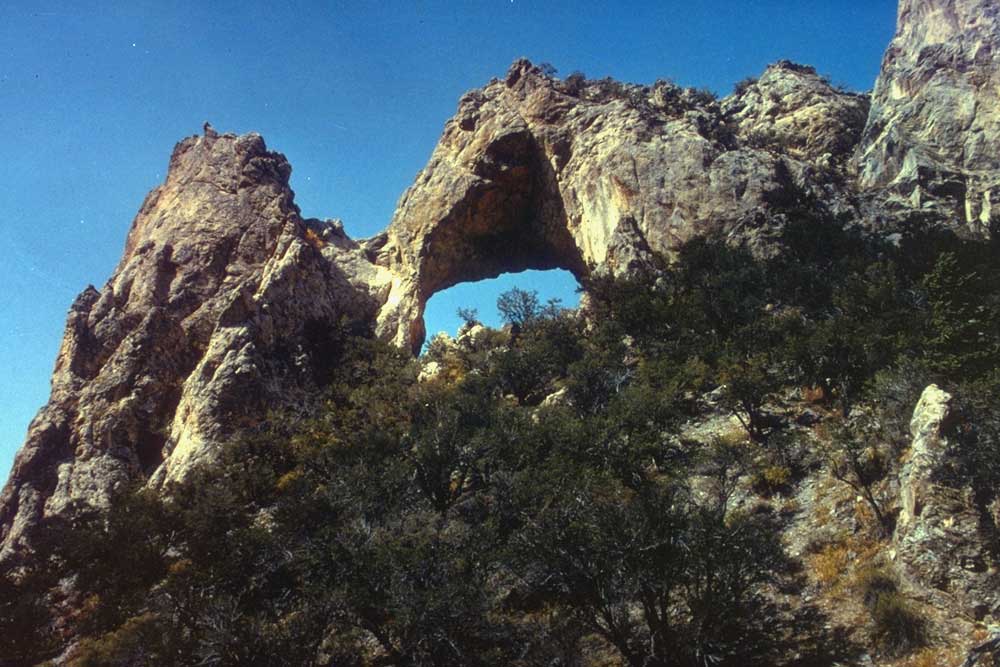
 Photo: Bas van Oorschot, CC BY-SA 3.0 (via Wikimedia Commons)
Baker Creek Loop Trail
~7 min drive
0.98-mile out-and-back out-and-back in Nevada with 358 ft elevation gain