Mt. Rose Campground
Campground
Campground · 1.6 mi from the trail
 Photo: simonov, CC BY-SA 2.0 (via Flickr)
Closure in the area
There's a closure order in Lake Tahoe Basin Management Unit. It doesn't name Incline Lake, so check the source for the area it covers.
Harmful Algal Blooms
Agency closure covering Lake Tahoe Basin Management Unit · USFS · Lake Tahoe Basin Management Unit
Desolation Wilderness Food and Refuse Storage (Bear Canister) Restriction
Agency alert covering Lake Tahoe Basin Management Unit · Order 19-25-06 · USFS · Lake Tahoe Basin Management Unit
Meyers Landfill Area Closure
Agency alert covering Lake Tahoe Basin Management Unit · Order 19-25-01 · USFS · Lake Tahoe Basin Management Unit
Campfire Restrictions
Agency alert covering Lake Tahoe Basin Management Unit · Order 19-24-04 · USFS · Lake Tahoe Basin Management Unit
Camping/Overnight Stay Restriction
Agency alert covering Lake Tahoe Basin Management Unit · Order 19-24-05 · USFS · Lake Tahoe Basin Management Unit
As of · Source: USFS · Lake Tahoe Basin Management Unit. Agencies don't list every closure — check before you go.
Incline Lake is a short, easy out-and-back hike in Nevada's Lake Tahoe Basin Management Unit, managed by the Forest Service. It starts at the high point of 8,576 feet and reaches a low of 8,349 feet on the way down, with an overall round-trip climb of 287 feet. The trail is just over a mile long and takes about half an hour to complete. The route is a gentle affair. The steepest stretch comes early, with a grade of about 11% around the 0.2-mile mark, and the climb and descent are roughly equal. The trail is close to several other routes. The Upper Tyrolian Entrance Trail lies just 0.2 miles away, and the Gray Lake Trail (Mt. Rose) and the Tahoe Rim Trail Connector are within a quarter mile. Mt. Rose Campground is about 1.6 miles off, and climbers can head to Main Rock, about 2.1 miles away.
Mt. Rose Campground
Campground
Fox Cultural Hall
Museum
Places © OpenStreetMap contributors, Places © Overture Maps Foundation
More in Sunnyside-Tahoe CityNot on Roamze yet. Their page has how to reach them.
 Upper Tyrolian Entrance TrailHikingPhoto: simonov, CC BY-SA 2.0 (via Flickr)0.2 mi
 Gray Lake Trail (Mt. Rose)HikingPhoto: simonov, CC BY-SA 2.0 (via Flickr)0.3 mi
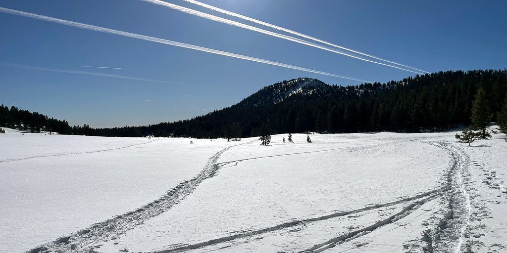 Tahoe Rim Trail ConnectorHikingPhoto: simonov, CC BY-SA 2.0 (via Flickr)0.4 mi
Source: Roamze catalog (indexable pages within 10 miles, PostGIS distance)
Upper Tyrolian Entrance TrailHiking · Next doorPhoto: simonov, CC BY-SA 2.0 (via Flickr)Gray Lake Trail (Mt. Rose)Hiking · Next doorPhoto: simonov, CC BY-SA 2.0 (via Flickr) Incline Flume TrailHiking · ~3 min drivePhoto: Ken Lund from Reno, Nevada, USA, CC BY-SA 2.0 (via Wikimedia Commons)
 Tamarack Lake TrailHiking · ~3 min drivePhoto: simonov — CC BY-SA 2.0 (via Flickr)Tahoe Rim Trail ConnectorHiking · Next doorPhoto: simonov, CC BY-SA 2.0 (via Flickr)
 Tyrolian DownhillHiking · ~2 min drivePhoto: simonov, CC BY-SA 2.0 (via Flickr)
 Rim to RenoHiking · ~8 min drivePhoto: Ken Lund from Reno, Nevada, USA, CC BY-SA 2.0 (via Wikimedia Commons)Upper Meadow LoopHiking · Next doorPhoto: simonov, CC BY-SA 2.0 (via Flickr)
 Allison RidgeHiking · ~4 min drivePhoto: inkknife_2000 (7.5 million views +), CC BY-SA 2.0 (via Wikimedia Commons)
Also worth it near here
Map and trail data © OpenStreetMap contributors


