Loading trail…

Free — you'll pick up right here.
Save this plan
Sign up to save your own editable copy — you'll pick up right here.
Nevada
0.6 mi
Distance
128 ft
Gain
No conditions check on file for this trail yet — always verify current conditions before you go.
Why you'll love it
Lower Meadow Loop
AI-suggested draft · review before you go
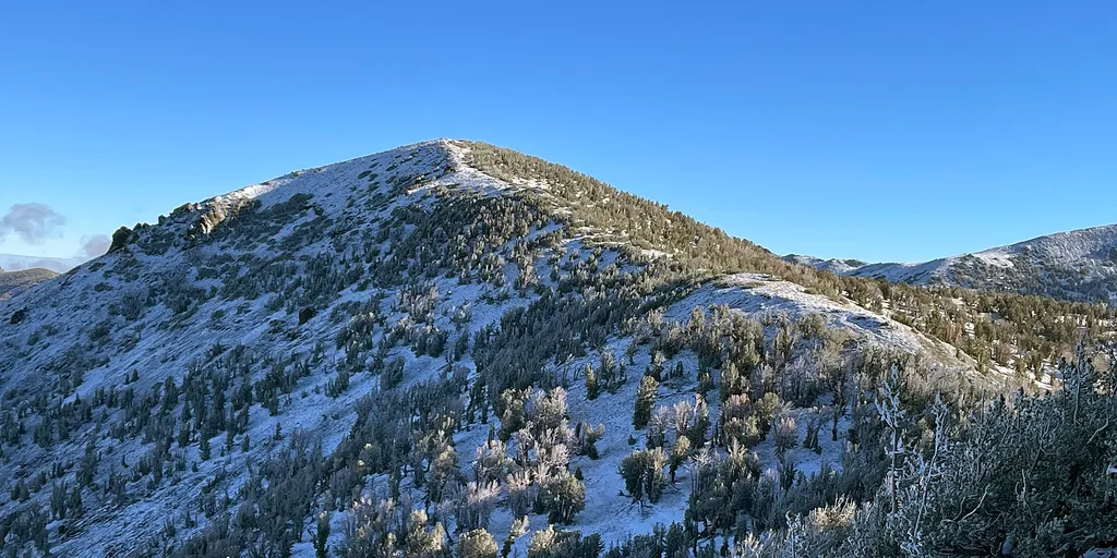
Lower Meadow Loop offers a quick spin through the scenic Tahoe Meadows area near the Nevada border. This short 0.583-mile loop is perfect for warming up, cooling down, or introducing riders to the Tahoe Meadows trail system. The route takes you through beautiful meadow terrain with views characteristic of the high-elevation Tahoe region.
No permit or access details on file for this trail — check with the local land manager before you go.

Tahoe Meadows Interpretive Tra
~1 min drive
Scenic 1.2-mile interpretive trail through Tahoe Meadows with educational features.
Tamarack Lake Trail
~2 min drive
1.4 mi · Easy
Tyrolean Downhill
~3 min drive
3.0 mi · Moderate
Gray Lake Trail
~4 min drive
1.0 mi · Hard

Ophir Creek
~3 min drive
7.54-mile Tahoe Meadows trail following Ophir Creek through Nevada terrain.
Tamarack Lake Trail
~2 min drive
Easy
Galena Creek
~10 min drive
Moderate technical XC trail through alpine forest with creek crossings and mountain views.
Tahoe Rim Trail
~10 min drive
0.3 mi · Hard

Gray Creek
~5 min drive
Quick 0.847-mile alpine trail in the Tahoe Meadows system near Nevada.
Upper Tyrolian Bypass
~2 min drive
0.6 mi · Easy