Loading…

Free — you'll pick up right here.
Watch this water
Sign up to watch it — saving subscribes you to gate, closure and report changes.
California
We won't guess. Here is exactly what we do and don't know.
What we do know
Inside Lake Tahoe Basin Management Unit
National Forest boundary is mapped — agency alerts for it feed this page automatically.
Boundary data
What's missing
No access route mapped
We don't yet know which road reaches this trailhead, so we can't tell you if it's gated.
Nobody's filed a report here yet — be the first.
Why you'll love it
Lake Tahoe - North Shore
AI-suggested draft · review before you go
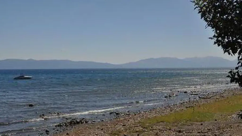
The north shore of Lake Tahoe is half and half. Half lies in California and the other half in Nevada. Access is via Highway 28, which stretches from Tahoe City, California to Incline Village, Nevada. The landscape also is half and half, half general undeveloped National Forest land and half developed urban areas. Recreational opportunities include water activities, camping, hiking, nearby downhill skiing/snowboarding, snowmobiling, cross-country skiing and snowshoeing. Attractions include Carnelian and Crystal Bays, Kings Beach State Park, North Tahoe Regional Park, and just a stone's throw away, Mt. Rose Wilderness.
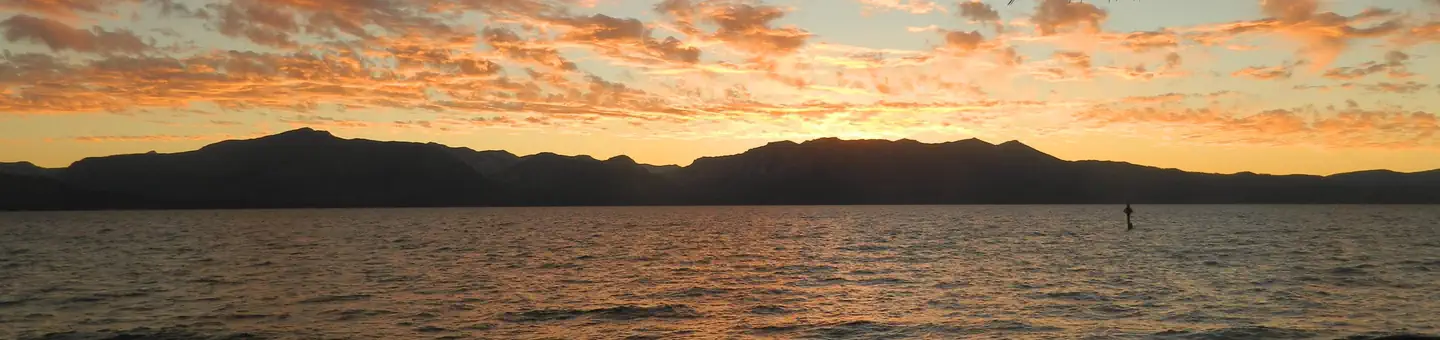
Nevada Beach Campground
~32 min drive
A worthwhile stop near Nevada.
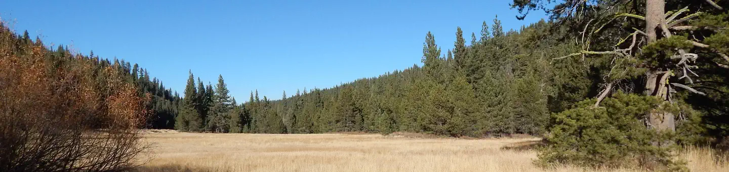
Goose Meadows
~18 min drive
A worthwhile stop near California.
Kaspian Campground
~21 min drive
A worthwhile stop near California.
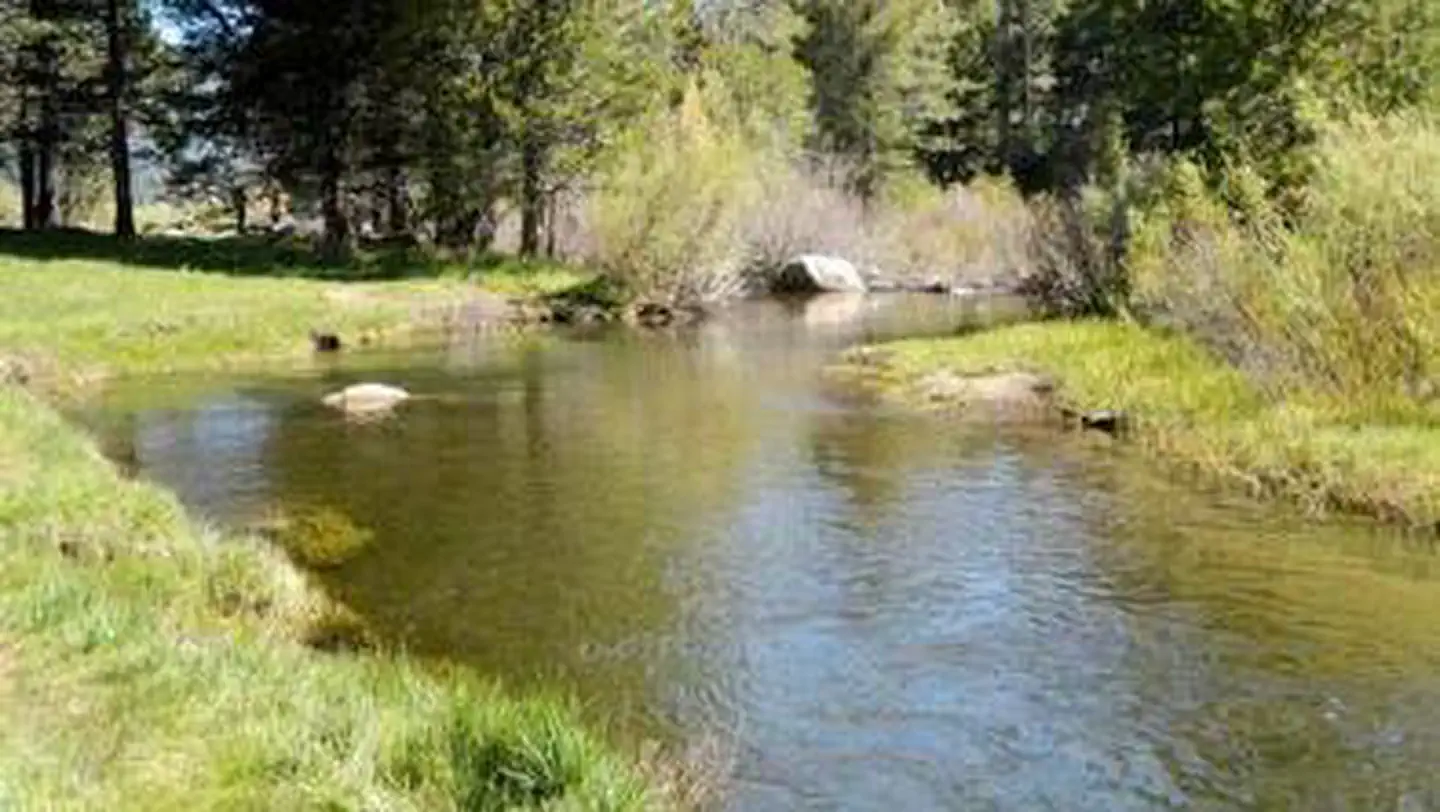
Hope Valley
~42 min drive
A worthwhile stop near California.
Boca Reservoir - Water Recreation
~20 min drive
A worthwhile stop near California.
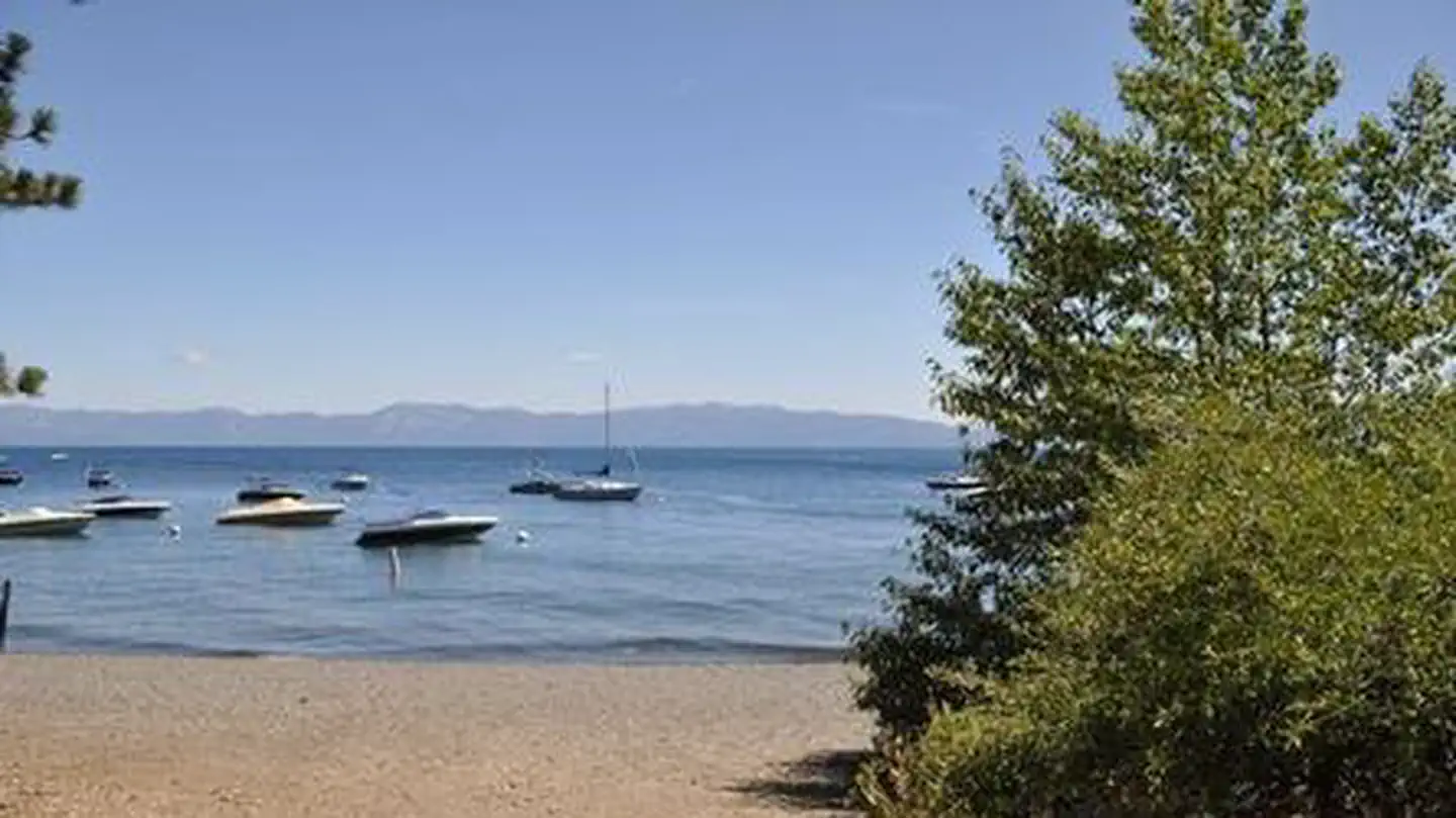
William Kent Campground
~19 min drive
A worthwhile stop near California.
Lake Tahoe - West Shore
~23 min drive
A worthwhile stop near California.
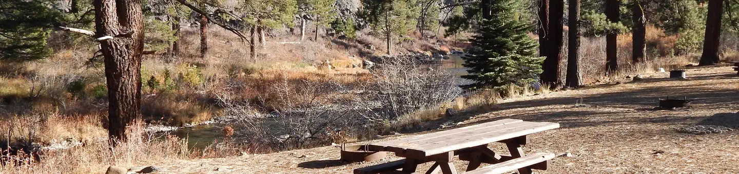
Granite Flat
~19 min drive
A worthwhile stop near California.
Fallen Leaf Campground
~38 min drive
A worthwhile stop near California.

Boca Campground
~20 min drive
A worthwhile stop near California.