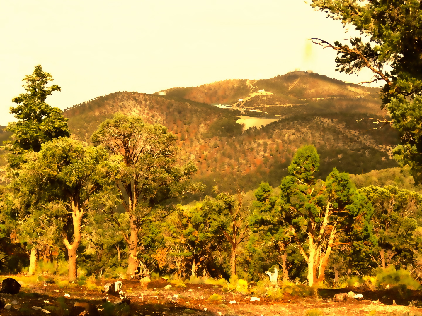
Hike-A-Bike
 Photo: bahniuk, CC BY 3.0 (via Wikimedia Commons)
- 2.4 mi
- round trip
- 260 ft
- climb
- 8,127 ft
- high point
- Out and back
- route
- May–Oct
- best months
Is Hike-A-Bike open right now?
Closure in the area
There's a closure order in Humboldt-Toiyabe National Forest. It doesn't name Hike-A-Bike, so check the source for the area it covers.
Elephant Fire Closure
Agency closure covering Humboldt-Toiyabe National Forest · Order 04-17-26-01-04 · USFS · Humboldt-Toiyabe National Forest
Area, Road, and Trail Closures (Spring Mountains National Recreation Area)
Agency alert covering Humboldt-Toiyabe National Forest · Order 04-17-25-04 · USFS · Humboldt-Toiyabe National Forest
Year-Round Fire Restrictions (Spring Mountains National Recreation Area)
Agency alert covering Humboldt-Toiyabe National Forest · Order 04-17-24-01 · USFS · Humboldt-Toiyabe National Forest
Vehicle Snow Chain Requirements during Inclement Weather (Spring Mountains National Recreation Area)
Agency alert covering Humboldt-Toiyabe National Forest · Order 04-17-23-01 · USFS · Humboldt-Toiyabe National Forest
Rainbow Canyon Flood Diversion Structure Closure (Spring Mountains National Recreation Area)
Agency alert covering Humboldt-Toiyabe National Forest · Order 04-17-15-01 · USFS · Humboldt-Toiyabe National Forest
As of · Source: USFS · Humboldt-Toiyabe National Forest. Agencies don't list every closure — check before you go.
Hike-A-Bike is a short, easy outing in Nevada's Spring Mountains National Recreation Area, part of the Humboldt-Toiyabe National Forest. The trail runs about 2.4 miles out and back from the Robbers Roost trailhead, with a total elevation gain of 260 feet. The route rises from a low point of about 7,842 feet to a high of about 8,127 feet, and the trail surface is natural, so expect dirt and rock. The trip works year-round, and the trail is open to bikes and horses. That makes it an easy choice for a ride or a pack animal. The forest manages the land, and the parking area is at the Robbers Roost trailhead. Summer is the most comfortable time to go. Typical averages from the Mt Charleston weather station, about 3.6 miles away, show July highs around 79°F and lows near 52°F. Winter is much colder, with January highs around 44°F and lows near 22°F. Several other trails start within a tenth of a mile, including Tin Can and Link Trail. The Robber's Roost climbing area is about 0.2 miles away, and Hilltop campground sits about half a mile off.
 Tin CanHikingPhoto: bahniuk, CC BY 3.0 (via Wikimedia Commons)0.1 mi
- Link TrailHikingPhoto: bahniuk, CC BY 3.0 (via Wikimedia Commons)0.1 mi
 Robber's Roost TrailHikingPhoto: bahniuk, CC BY 3.0 (via Wikimedia Commons)0.1 mi
- Robber's RoostRock climbing0.2 mi
- The Robbery WallRock climbing0.2 mi
- Den of Thieves AreaRock climbing0.2 mi
- HilltopCamping0.5 mi
- Mahogany GroveCamping0.8 mi
Source: Roamze catalog (indexable pages within 10 miles, PostGIS distance)
- Link TrailHiking · Next doorPhoto: bahniuk, CC BY 3.0 (via Wikimedia Commons)
- Robber's Roost TrailHiking · Next doorPhoto: bahniuk, CC BY 3.0 (via Wikimedia Commons)
- North LoopHiking · ~1 min drivePhoto: bahniuk, CC BY 3.0 (via Wikimedia Commons)
- Percocet TrailHiking · Next doorPhoto: bahniuk, CC BY 3.0 (via Wikimedia Commons)
 Equestrian Switchback TrailHiking · ~1 min drivePhoto: Ken Lund, CC BY-SA 2.0 (via Flickr)
 Trail CanyonHiking · ~6 min drivePhoto: Ken Lund, CC BY-SA 2.0 (via Flickr)
- Upper ShowgirlHiking · ~1 min drivePhoto: bahniuk, CC BY 3.0 (via Wikimedia Commons)
- Trough TrailHiking · ~1 min drivePhoto: bahniuk, CC BY 3.0 (via Wikimedia Commons)
 BristleconeHiking · ~7 min drivePhoto: Ken Lund, CC BY-SA 2.0 (via Flickr)
- Original ShowgirlHiking · ~1 min drivePhoto: Ken Lund, CC BY-SA 2.0 (via Flickr)
Best time to visit Hike-A-Bike
Best months: May–October. Best months have typical highs of 55–85 °F, lows of 30 °F or warmer (32 °F where the station doesn't record snow), at most one snowy day and no more than 12 wet days.
Jan
44° / 22°
6 wet
Feb
44° / 22°
6 wet
Mar
49° / 26°
6 wet
Apr
55° / 30°
4 wet
May
63° / 37°
4 wet
Jun
74° / 46°
2 wet
Jul
79° / 52°
5 wet
Aug
78° / 52°
6 wet
Sep
72° / 44°
4 wet
Oct
62° / 35°
3 wet
Nov
51° / 27°
4 wet
Dec
44° / 21°
5 wet
Typical high / low (°F) and days with rain or snow, 1991–2020. Measured at Mt Charleston Fire Stn, NV, 3.6 mi away at 7,460 ft. The station sits about 700 ft lower than this place, so expect it a little cooler here. This station doesn't record snowfall. Source: NOAA NCEI U.S. Climate Normals 1991–2020.