Mary Jane Falls
- 9,153 ft
- elevation
- Forest Service
- managed by
Caution today
Agency alerts are in effect for this area; weather is good · USFS, OpenWeather · checked just now
Is Mary Jane Falls open right now?
Closure in the area
There's a closure order in Humboldt-Toiyabe National Forest. It doesn't name Mary Jane Falls, so check the source for the area it covers.
Elephant Fire Closure
Agency closure covering Humboldt-Toiyabe National Forest · Order 04-17-26-01-04 · USFS · Humboldt-Toiyabe National Forest
Area, Road, and Trail Closures (Spring Mountains National Recreation Area)
Agency alert covering Humboldt-Toiyabe National Forest · Order 04-17-25-04 · USFS · Humboldt-Toiyabe National Forest
Year-Round Fire Restrictions (Spring Mountains National Recreation Area)
Agency alert covering Humboldt-Toiyabe National Forest · Order 04-17-24-01 · USFS · Humboldt-Toiyabe National Forest
Vehicle Snow Chain Requirements during Inclement Weather (Spring Mountains National Recreation Area)
Agency alert covering Humboldt-Toiyabe National Forest · Order 04-17-23-01 · USFS · Humboldt-Toiyabe National Forest
Rainbow Canyon Flood Diversion Structure Closure (Spring Mountains National Recreation Area)
Agency alert covering Humboldt-Toiyabe National Forest · Order 04-17-15-01 · USFS · Humboldt-Toiyabe National Forest
As of · Source: USFS · Humboldt-Toiyabe National Forest. Agencies don't list every closure — check before you go.
Mary Jane Falls is a waterfall in the Spring Mountains National Recreation Area, part of the Humboldt-Toiyabe National Forest in southern Nevada. The Forest Service manages the land, and the nearest town is Mount Charleston, about 3.4 miles away. Several other destinations sit close by. The Nueva Esperanza climbing area is about 0.3 miles away, and the Trail Canyon mountain biking route is about 1 mile off. The Charleston Peak Trail South Loop is about 1.5 miles away, and McWilliams campground is about 2.1 miles away.
- Elevation
- 9,153 ft
- Land manager
- Forest Service
Elevation from USGS 3D Elevation Program terrain data (about 10 m resolution).
- Nueva EsperanzaRock climbing0.3 mi
- Walla Walla WashRock climbing0.5 mi
- Yellow PineRock climbing0.5 mi
 Trail CanyonMountain bikingPhoto: Famartin, CC BY-SA 4.0 (via Wikimedia Commons)1 mi
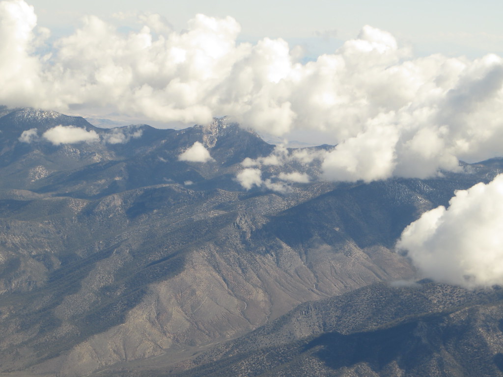 Charleston Peak Trail South LoopHikingPhoto: Ken Lund, CC BY-SA 2.0 (via Flickr)1.5 mi
 Green TrailHikingPhoto: Ken Lund, CC BY-SA 2.0 (via Flickr)1.7 mi
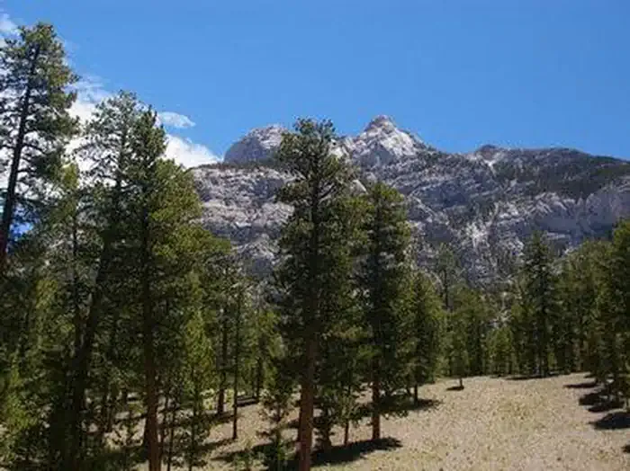 Foxtail Grp Picnic AreaCampingPhoto: Recreation.gov (RIDB) / public domain2 mi
- McWilliamsCamping2.1 mi
Source: Roamze catalog (indexable pages within 10 miles, PostGIS distance)


