Bristlecone
 Photo: Ken Lund, CC BY-SA 2.0 (via Flickr)
- 10.2 mi
- round trip
- 590 ft
- climb
- 9,393 ft
- high point
- Out and back
- route
Is Bristlecone open right now?
Closure in the area
There's a closure order in Humboldt-Toiyabe National Forest. It doesn't name Bristlecone, so check the source for the area it covers.
Elephant Fire Closure
Agency closure covering Humboldt-Toiyabe National Forest · Order 04-17-26-01-04 · USFS · Humboldt-Toiyabe National Forest
Stage 1 Fire Restrictions, Spring Mountains National Recreation Area
Agency alert covering Spring Mountains National Recreation Area · Order 04-17-05-26-02 · USFS · Spring Mountains National Recreation Area
Area, Road, and Trail Closures (Spring Mountains National Recreation Area)
Agency alert covering Humboldt-Toiyabe National Forest · Order 04-17-25-04 · USFS · Humboldt-Toiyabe National Forest
Year-Round Fire Restrictions (Spring Mountains National Recreation Area)
Agency alert covering Humboldt-Toiyabe National Forest · Order 04-17-24-01 · USFS · Humboldt-Toiyabe National Forest
Vehicle Snow Chain Requirements during Inclement Weather (Spring Mountains National Recreation Area)
Agency alert covering Humboldt-Toiyabe National Forest · Order 04-17-23-01 · USFS · Humboldt-Toiyabe National Forest
As of · Source: USFS · Humboldt-Toiyabe National Forest. Agencies don't list every closure — check before you go.
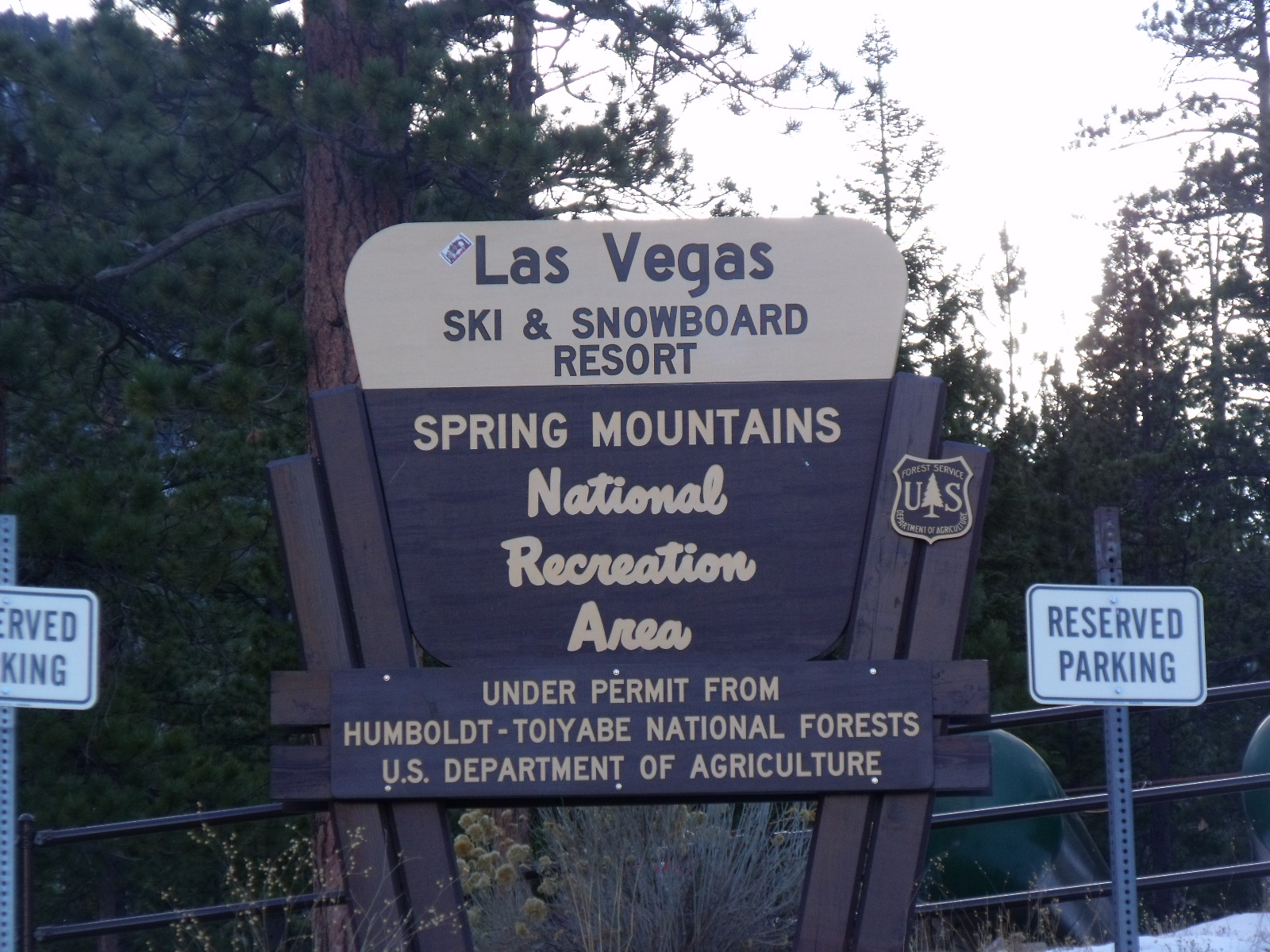
Bristlecone is a 10.2-mile out-and-back hike in Nevada's Spring Mountains National Recreation Area, part of the Humboldt-Toiyabe National Forest. The trail rises from 8,465 feet to 9,393 feet, a gain of 590 feet, and is rated hard. The Forest Service manages the land, and the trailhead is called Bristlecone Loop Trailhead, which is open year-round. The route is natural-surfaced and allows bikes, so it works for hikers and riders alike. The climb is a steady one, and the high point sits at about 9,400 feet. The trailhead sits close to several other destinations. The Green Trail is just 0.2 miles away, and McWilliams campground is 0.3 miles off. Foxtail Grp Picnic Area is 0.5 miles away, and the Bonanza hike is 1.3 miles away.
Keep exploring — more trails worth the drive
Photo: Ken Lund, CC BY-SA 2.0 (via Flickr)Green Trail
Next door
4.32-mile out-and-back hike in Nevada with 1,809 ft elevation gain and loss.
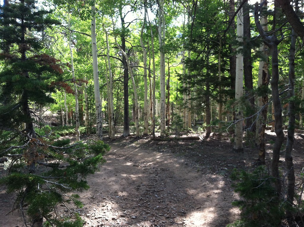 Photo: BLM Nevada, CC BY 2.0 (via Flickr)
Bonanza
~2 min drive
A 1.28-mile out-and-back trail in Nevada's Mt. Charleston Wilderness.
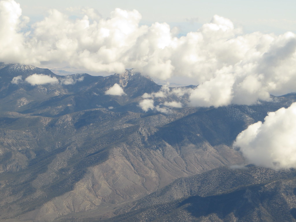 Photo: Ken Lund, CC BY-SA 2.0 (via Flickr)
Charleston Peak Trail South Loop
~4 min drive
8.40-mile out-and-back trail in Nevada with 949 ft elevation gain and 5,115 ft loss.
 Photo: Ken Lund, CC BY-SA 2.0 (via Flickr)
Trail Canyon
~5 min drive
3.91-mile out-and-back trail in Nevada with 1,527 ft elevation gain.
Photo: Ken Lund, CC BY-SA 2.0 (via Flickr)Mary Jane Falls
~5 min drive
3-mile out-and-back trail to Mary Jane Falls in Nevada with 1,301 ft gain.
 Photo: redlicks, CC BY 3.0 (via Wikimedia Commons)
Wildhorse Ridge
~5 min drive
1.52-mile out-and-back trail in Nevada with 659 ft elevation gain/loss
 Photo: bahniuk, CC BY 3.0 (via Wikimedia Commons)
North Loop
~6 min drive
9.61-mile loop trail in Nevada with 2,725 ft elevation gain.
Photo: redlicks, CC BY 3.0 (via Wikimedia Commons)Wildhorse Canyon
~5 min drive
2.42-mile out-and-back trail in Nevada with 1,215 ft gain/loss
 Photo: bahniuk, CC BY 3.0 (via Wikimedia Commons)
Robber's Roost Trail
~7 min drive
0.6-mile out-and-back hike in Nevada with 506 ft gain and 8,234 ft max elevation.
HIKE
Trail Canyon
~4 min drive
1.96-mile out-and-back trail in Nevada with 1,512 ft elevation loss