Link Trail
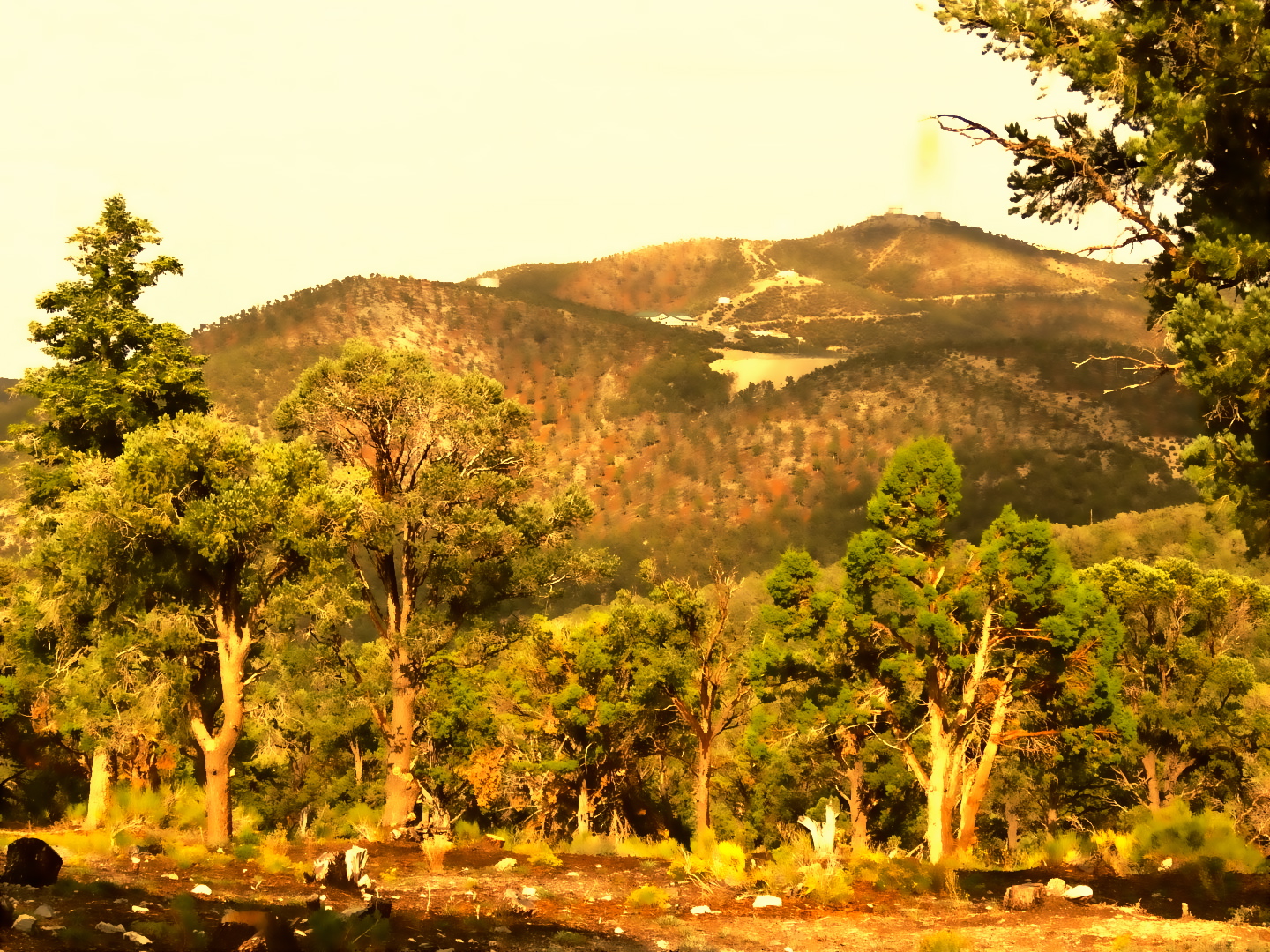
 Photo: bahniuk, CC BY 3.0 (via Wikimedia Commons)
- 3.6 mi
- round trip
- 1,788 ft
- climb
- 7,908 ft
- high point
- Out and back
- route
- May–Oct
- best months
Is Link Trail open right now?
Closure in the area
There's a closure order in Humboldt-Toiyabe National Forest. It doesn't name Link Trail, so check the source for the area it covers.
Elephant Fire Closure
Agency closure covering Humboldt-Toiyabe National Forest · Order 04-17-26-01-04 · USFS · Humboldt-Toiyabe National Forest
Stage 1 Fire Restrictions, Spring Mountains National Recreation Area
Agency alert covering Spring Mountains National Recreation Area · Order 04-17-05-26-02 · USFS · Spring Mountains National Recreation Area
Area, Road, and Trail Closures (Spring Mountains National Recreation Area)
Agency alert covering Humboldt-Toiyabe National Forest · Order 04-17-25-04 · USFS · Humboldt-Toiyabe National Forest
Year-Round Fire Restrictions (Spring Mountains National Recreation Area)
Agency alert covering Humboldt-Toiyabe National Forest · Order 04-17-24-01 · USFS · Humboldt-Toiyabe National Forest
Vehicle Snow Chain Requirements during Inclement Weather (Spring Mountains National Recreation Area)
Agency alert covering Humboldt-Toiyabe National Forest · Order 04-17-23-01 · USFS · Humboldt-Toiyabe National Forest
As of · Source: USFS · Humboldt-Toiyabe National Forest. Agencies don't list every closure — check before you go.
Link Trail is a 3.6-mile out-and-back hike in the Spring Mountains National Recreation Area, part of the Humboldt-Toiyabe National Forest in Nevada. The trailhead sits at Robber's Roost, about 1.5 miles from the community of Desert View Point, and the route runs on natural surface with horses and bikes allowed. The climb totals 1,788 feet over the full trip, with the high point at 7,908 feet. The steepest stretch comes around mile 1.2, where the grade reaches 11 percent, and the hike takes about two hours to complete. It is open year-round. Summer is the most comfortable time to go. Typical averages from a nearby weather station at Mt Charleston show July highs around 79°F with lows near 52°F. That station sits about 450 feet lower than the trail's high point, so temperatures on the summit run a bit cooler. Nearby, Robber's Roost Trail, Hike-A-Bike and Tin Can all start within a tenth of a mile. Hilltop campground is about half a mile away.
Best time to go · May–Oct
Best time to visit Link Trail
Best months: May–October. Best months have typical highs of 55–85 °F, lows of 30 °F or warmer (32 °F where the station doesn't record snow), at most one snowy day and no more than 12 wet days.
Jan
44° / 22°
6 wet
Feb
44° / 22°
6 wet
Mar
49° / 26°
6 wet
Apr
55° / 30°
4 wet
May
63° / 37°
4 wet
Jun
74° / 46°
2 wet
Jul
79° / 52°
5 wet
Aug
78° / 52°
6 wet
Sep
72° / 44°
4 wet
Oct
62° / 35°
3 wet
Nov
51° / 27°
4 wet
Dec
44° / 21°
5 wet
Typical high / low (°F) and days with rain or snow, 1991–2020. Measured at Mt Charleston Fire Stn, NV, 3.6 mi away at 7,460 ft. This station doesn't record snowfall. Source: NOAA NCEI U.S. Climate Normals 1991–2020.
Keep exploring — more trails worth the drive
 Photo: bahniuk, CC BY 3.0 (via Wikimedia Commons)
Robber's Roost Trail
Next door
0.6-mile out-and-back hike in Nevada with 506 ft gain and 8,234 ft max elevation.
Photo: bahniuk, CC BY 3.0 (via Wikimedia Commons)Tin Can
Next door
4-mile out-and-back trail in Nevada with 138 ft gain.
 Photo: bahniuk, CC BY 3.0 (via Wikimedia Commons)
North Loop
~1 min drive
9.61-mile loop trail in Nevada with 2,725 ft elevation gain.
Photo: bahniuk, CC BY 3.0 (via Wikimedia Commons)Hike-A-Bike
Next door
2.42-mile out-and-back trail in Nevada with 260 ft gain.
Photo: bahniuk, CC BY 3.0 (via Wikimedia Commons)Percocet Trail
Next door
1.72-mile out-and-back trail in Nevada with 1,046 ft elevation gain.
 Photo: Ken Lund, CC BY-SA 2.0 (via Flickr)
Trail Canyon
~6 min drive
3.91-mile out-and-back trail in Nevada with 1,527 ft elevation gain.
 Photo: Ken Lund, CC BY-SA 2.0 (via Flickr)
Equestrian Switchback Trail
~1 min drive
1.84-mile out-and-back trail in Nevada with 511 ft elevation gain
 Photo: redlicks, CC BY 3.0 (via Wikimedia Commons)
Wildhorse Canyon
~1 min drive
2.42-mile out-and-back trail in Nevada with 1,215 ft gain/loss
 Photo: Ken Lund, CC BY-SA 2.0 (via Flickr)
Bristlecone
~7 min drive
10.20-mile out-and-back trail in Nevada with 590 ft elevation gain.
Photo: bahniuk, CC BY 3.0 (via Wikimedia Commons)Trough Trail
~1 min drive
1.02-mile out-and-back hike in Nevada with 465 ft gain/loss.