Trail Canyon
 Photo: Ken Lund, CC BY-SA 2.0 (via Flickr)
- 3.9 mi
- round trip
- 1,527 ft
- climb
- 9,338 ft
- high point
- Out and back
- route
Is Trail Canyon open right now?
Closure in the area
There's a closure order in Humboldt-Toiyabe National Forest. It doesn't name Trail Canyon, so check the source for the area it covers.
Elephant Fire Closure
Agency closure covering Humboldt-Toiyabe National Forest · Order 04-17-26-01-04 · USFS · Humboldt-Toiyabe National Forest
Area, Road, and Trail Closures (Spring Mountains National Recreation Area)
Agency alert covering Humboldt-Toiyabe National Forest · Order 04-17-25-04 · USFS · Humboldt-Toiyabe National Forest
Year-Round Fire Restrictions (Spring Mountains National Recreation Area)
Agency alert covering Humboldt-Toiyabe National Forest · Order 04-17-24-01 · USFS · Humboldt-Toiyabe National Forest
Vehicle Snow Chain Requirements during Inclement Weather (Spring Mountains National Recreation Area)
Agency alert covering Humboldt-Toiyabe National Forest · Order 04-17-23-01 · USFS · Humboldt-Toiyabe National Forest
Rainbow Canyon Flood Diversion Structure Closure (Spring Mountains National Recreation Area)
Agency alert covering Humboldt-Toiyabe National Forest · Order 04-17-15-01 · USFS · Humboldt-Toiyabe National Forest
As of · Source: USFS · Humboldt-Toiyabe National Forest. Agencies don't list every closure — check before you go.
Trail Canyon is a hard hike in Nevada's Spring Mountains National Recreation Area, part of the Humboldt-Toiyabe National Forest. The route is an out-and-back of about 3.9 miles, with a one-way elevation gain of 1,527 feet, taking you from a low point of about 7,811 feet to a high of about 9,338 feet. The Forest Service manages the land, and the trailhead is named Trail Canyon Trailhead. Bikes are not allowed on this trail, so plan on hiking it on foot. The climb is a steady one, and the route is rated hard. The trail starts close to several other destinations. Mary Jane Falls is about 0.3 miles away, and the Central Slab Area and The Infectious Cave / Slab climbing areas are each about 0.4 miles off. Little Falls (upper) is about a mile away.
Keep exploring — more trails worth the drive
Photo: Ken Lund, CC BY-SA 2.0 (via Flickr)Mary Jane Falls
Next door
3-mile out-and-back trail to Mary Jane Falls in Nevada with 1,301 ft gain.
 Photo: christie_verbose, CC BY 2.0 (via Flickr)
Little Falls (upper)
~2 min drive
0.7-mile out-and-back trail at Little Falls (upper) in Nevada with 388 ft of elevation gain
 Photo: bahniuk, CC BY 3.0 (via Wikimedia Commons)
North Loop
~6 min drive
9.61-mile loop trail in Nevada with 2,725 ft elevation gain.
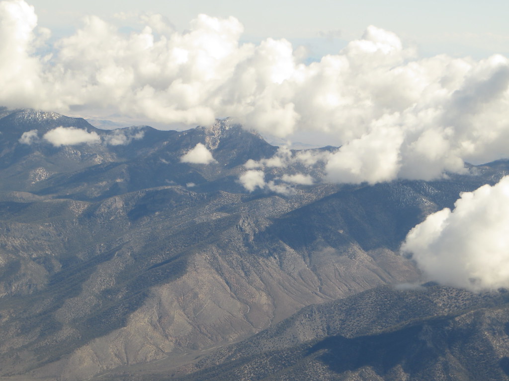 Photo: Ken Lund, CC BY-SA 2.0 (via Flickr)
Charleston Peak Trail South Loop
~4 min drive
8.40-mile out-and-back trail in Nevada with 949 ft elevation gain and 5,115 ft loss.
 Photo: stevelyon, CC BY-SA 2.0 (via Flickr)
Stanley B Springs Trail
~3 min drive
2.46-mile out-and-back hike in Nevada with 1,122 ft elevation gain
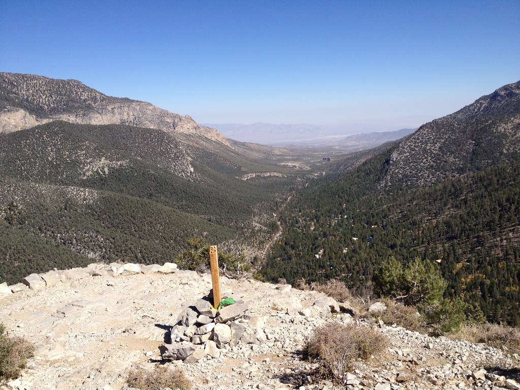 Photo: christie_verbose, CC BY 2.0 (via Flickr)
Cathedral Rock
~2 min drive
Easy loop trail featuring Cathedral Rock formations in Nevada.
 Photo: Ken Lund, CC BY-SA 2.0 (via Flickr)
Bristlecone
~5 min drive
10.20-mile out-and-back trail in Nevada with 590 ft elevation gain.
 Photo: redlicks, CC BY 3.0 (via Wikimedia Commons)
Wildhorse Canyon
~5 min drive
2.42-mile out-and-back trail in Nevada with 1,215 ft gain/loss
Photo: redlicks, CC BY 3.0 (via Wikimedia Commons)Wildhorse Ridge
~5 min drive
1.52-mile out-and-back trail in Nevada with 659 ft elevation gain/loss
HIKE
Charleston Peak Trail South Loop
~2 min drive
16.80-mile out-and-back trail in Nevada with 4,248 ft elevation gain.


Map and trail data © OpenStreetMap contributors
