Papoose Creek Tral
- 5.9 mi
- round trip
- 3,686 ft
- climb
- 9,832 ft
- high point
- Out and back
- route
Is Papoose Creek Tral open right now?
Closure in the area
There's a closure order in Beaverhead-Deerlodge National Forest. It doesn't name Papoose Creek Tral, so check the source for the area it covers (2 listed).
Annual Food Storage Order
Agency closure covering Beaverhead-Deerlodge National Forest · Order 02-00-22-02 · USFS · Beaverhead-Deerlodge National Forest
Pallet Prohibition Order Butte Ranger District
Agency closure covering Beaverhead-Deerlodge National Forest · Order 01020425-01 · USFS · Beaverhead-Deerlodge National Forest
Lost Creek Area - Road Closure
Agency alert covering Beaverhead-Deerlodge National Forest · USFS · Beaverhead-Deerlodge National Forest
Montana BDR Alternative Route
Agency alert covering Beaverhead-Deerlodge National Forest · USFS · Beaverhead-Deerlodge National Forest
Lost Creek Area - Road Closure
Agency alert covering Beaverhead-Deerlodge National Forest · Order 01020826-02 · USFS · Beaverhead-Deerlodge National Forest
As of · Source: USFS · Beaverhead-Deerlodge National Forest. Agencies don't list every closure — check before you go.
Papoose Creek Trail is an out-and-back hike in the Madison Ranger District of the Beaverhead-Deerlodge National Forest in southwest Montana, managed by the Forest Service. The route is about 12 miles long, with a total elevation gain of 3,686 feet, and it is rated expert. The trail starts at 6,989 feet and climbs to a high point of 9,832 feet, with the steepest stretch at about 1.8 miles in, where the grade reaches 35 percent. The climb is front-loaded, so the hardest part comes early. The trip takes about six hours, and the trail is a round trip, with equal gain and loss over the course of the hike. Papoose Creek Trail is close to several other destinations. The Papoose Creek Trail lies about 2 miles away, and Riverview Campground, Madison River (MT) and West Fork Madison Campground are each about 2.5 miles off.
 Papoose Creek TrailHikingPhoto: Jon Roanhaus, CC BY-SA 4.0 (via Wikimedia Commons)1.9 mi
- Riverview CampgroundCamping2.5 mi
- Madison River (MT)Camping2.5 mi
- West Fork Madison CampgroundCamping2.5 mi
- West Fork Corridor/Smith Lake & Soap CreekCamping4.1 mi
- LAKE CREEKHiking4.3 mi
- MOOSE CREEKHiking4.4 mi
- Windy Point Boat LaunchRiver fishing6.6 mi
Source: Roamze catalog (indexable pages within 10 miles, PostGIS distance)
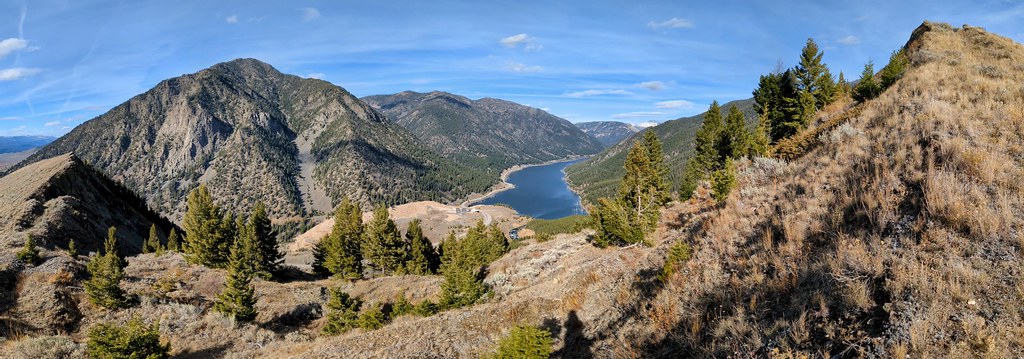 Sheep LakeHiking · ~15 min drivePhoto: Forest Service - Northern Region, Public Domain Mark (via Flickr)
 Tumble BasinHiking · ~19 min drivePhoto: Forest Service - Northern Region, Public Domain Mark (via Flickr)
- Papoose Creek TrailHiking · ~3 min drivePhoto: Jon Roanhaus, CC BY-SA 4.0 (via Wikimedia Commons)
- Alp CreekHiking · ~16 min drive
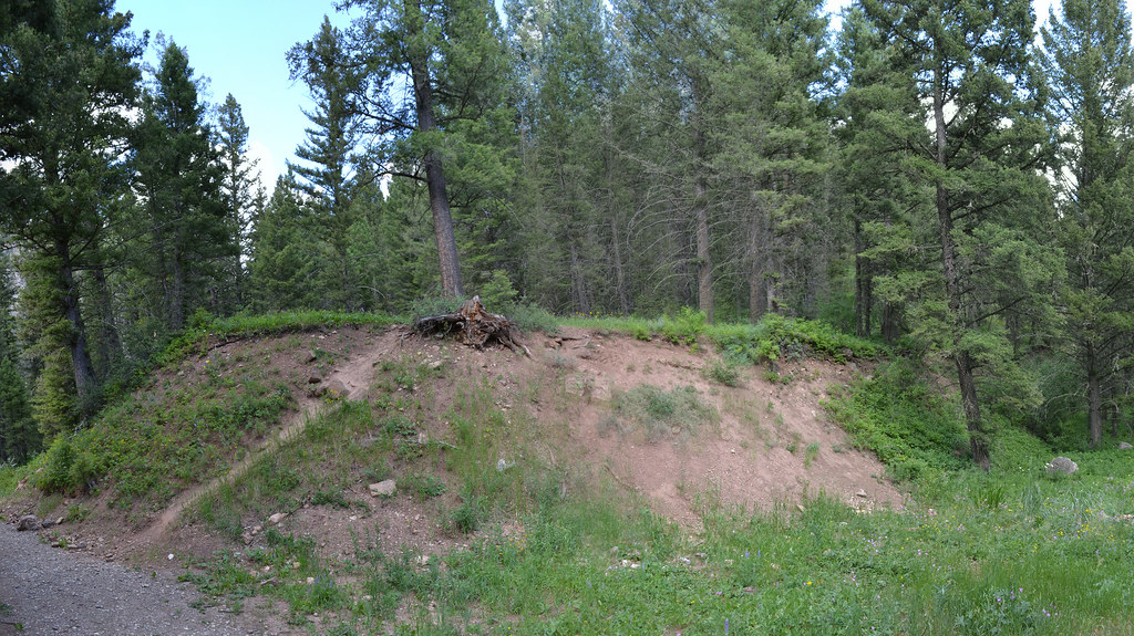 Cabin CreekHiking · ~18 min drivePhoto: inkenbrandt, CC BY 2.0 (via Flickr)
- Hilgard BasinHiking · ~10 min drive
- LOST MINE CANYONHiking · ~16 min drive
- Cabin Creek DivideHiking · ~18 min drive
- TumbledownHiking · ~20 min drivePhoto: Forest Service - Northern Region, Public Domain Mark (via Flickr)
- Avalanche LakeHiking · ~10 min drive
Map and trail data © OpenStreetMap contributors
