Cabin Creek Divide
- 4.9 mi
- round trip
- 230 ft
- climb
- 9,184 ft
- high point
- Out and back
- route
Is Cabin Creek Divide open right now?
Closure in the area
There's a closure order in Custer Gallatin National Forest. It doesn't name Cabin Creek Divide, so check the source for the area it covers (16 listed).
NFSR #1700 South Plateau Road Closure
Agency closure covering Custer Gallatin National Forest · USFS · Custer Gallatin National Forest
Lonesomewood Prescribed Fire Area, Road, and Trail Closure
Agency closure covering Hebgen Lake Ranger District · Order 01-11-07-26-03 · USFS · Hebgen Lake Ranger District
South Plateau Road #1700 Opening Delayed
Agency closure covering Hebgen Lake Ranger District · USFS · Hebgen Lake Ranger District
Hyalite Porcupine Buffalo Horn Summer Interim Travel Order and Map and Order # 01-11-00-26-02
Agency closure covering Custer Gallatin National Forest · Order 01-11-00-26-02 · USFS · Custer Gallatin National Forest
Hyalite Porcupine Buffalo Horn Winter Interim Travel Order and Map Order Number: #01-11-00-26-01
Agency closure covering Custer Gallatin National Forest · USFS · Custer Gallatin National Forest
As of · Source: USFS · Custer Gallatin National Forest. Agencies don't list every closure — check before you go.
Cabin Creek Divide is a 4.9-mile out-and-back hike in the Hebgen Lake Ranger District of Custer Gallatin National Forest in Montana, managed by the Forest Service. The trail is rated moderate, with a one-way climb of about 230 feet from a low point of 8,565 feet to a high of 9,184 feet. The route is natural-surfaced and allows horses, so riders can take it as well as hikers. It makes a straightforward day trip for anyone exploring this corner of the forest. Several other outings sit within a few miles. Sentinel Creek and Upper Sage Creek are both about 2 miles away, and Lightning Lake is about 2.3 miles off. Beaver Creek Cabin (mt) offers camping about 3.5 miles from the trail.
Keep exploring — more trails worth the drive
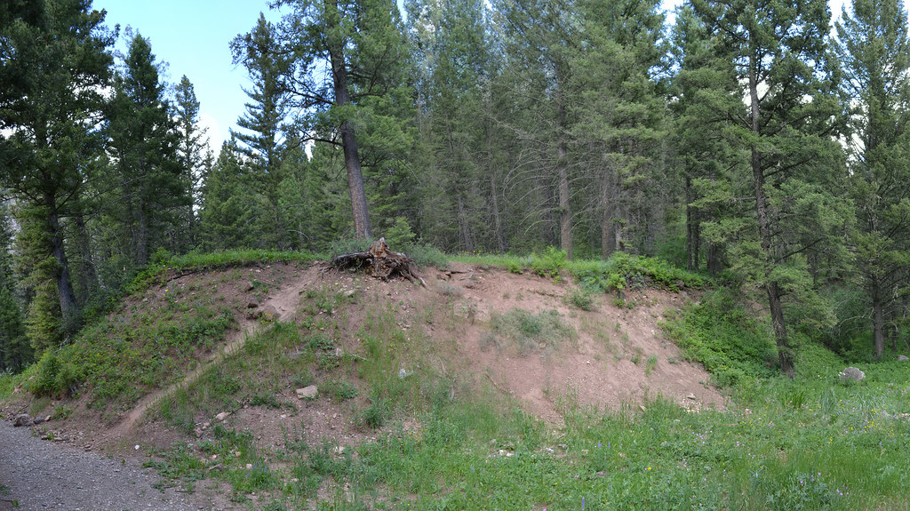 Photo: inkenbrandt, CC BY 2.0 (via Flickr)
Cabin Creek
~10 min drive
11.09-mile out-and-back trail in Montana with 2,389 ft elevation gain.
 Photo: Forest Service - Northern Region, Public Domain Mark (via Flickr)
Tumble Basin
~12 min drive
1.16-mile out-and-back trail in Montana with 157 ft elevation gain.
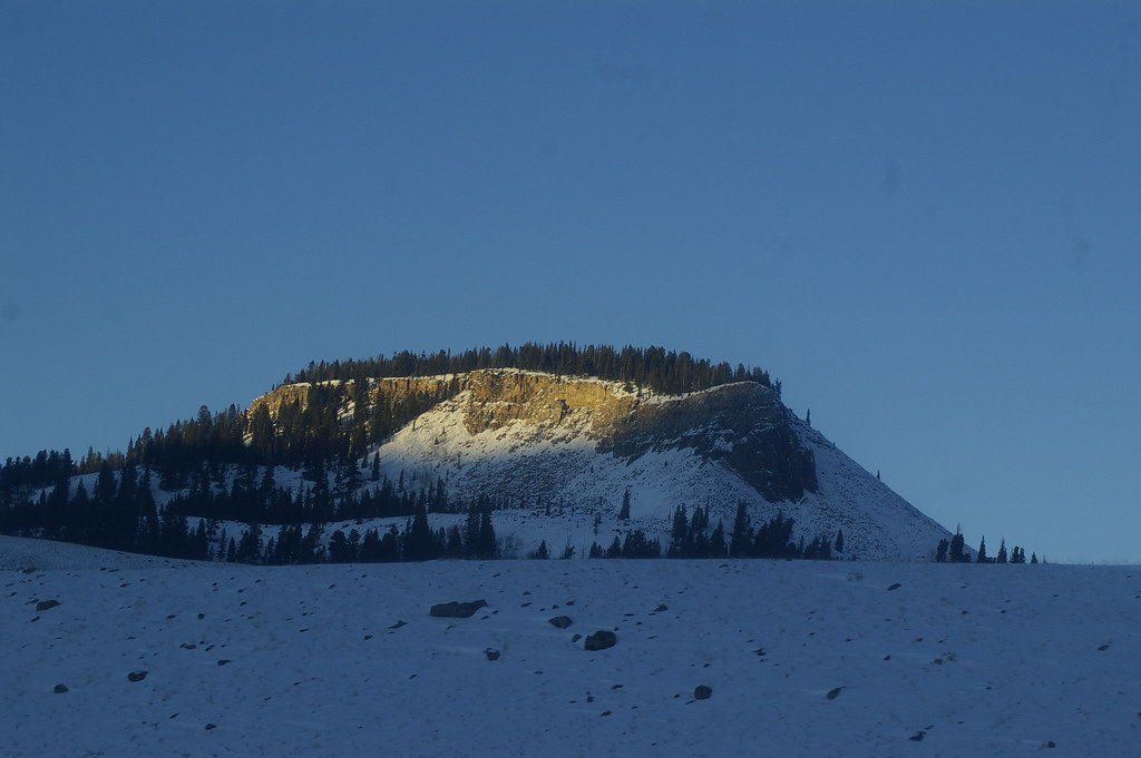 Photo: hesyifei, CC BY-SA 2.0 (via Flickr)
Dailey Creek Trailhead (WK1)
~20 min drive
This trailhead along Highway 191 in the western part of the park provides access to one trail: Dailey Creek Trail Dailey Creek Trail A strenuous 10-mile (16-km) there-and-back trail that starts near Dailey Creek and heads up to Dailey Pass, where you can reach the Sky Rim T…
HIKE
Lightning Lake
~4 min drive
7.86-mile out-and-back trail to Lightning Lake in Montana with 1,960 ft elevation gain.
HIKE
Dead Horse Trail
~18 min drive
9.4-mile out-and-back trail in Montana with 2,448 ft elevation gain/loss
Photo: Forest Service - Northern Region, Public Domain Mark (via Flickr)Tumbledown
~12 min drive
6.09-mile out-and-back trail in Montana with 1,651 ft elevation gain.
HIKE
Upper Sage Creek
~4 min drive
Upper Sage Creek is a 2.32-mile out-and-back trail in Montana with 6 feet of elevation gain.
HIKE
Alp Creek
~6 min drive
6.67-mile out-and-back trail in Montana with 1,585 ft of elevation gain.
HIKE
Papoose Creek Tral
~18 min drive
11.86-mile out-and-back trail in Montana with 3,686 ft elevation gain and loss.
 Photo: Forest Service - Northern Region, Public Domain Mark (via Flickr)
Meadow Creek
~14 min drive
7.48-mile out-and-back trail in Montana with 958 ft elevation gain.

