Avalanche Lake
- 2.1 mi
- round trip
- 507 ft
- climb
- 9,027 ft
- high point
- Out and back
- route
Is Avalanche Lake open right now?
Closure in the area
There's a closure order in Custer Gallatin National Forest. It doesn't name Avalanche Lake, so check the source for the area it covers (16 listed).
NFSR #1700 South Plateau Road Closure
Agency closure covering Custer Gallatin National Forest · USFS · Custer Gallatin National Forest
Lonesomewood Prescribed Fire Area, Road, and Trail Closure
Agency closure covering Hebgen Lake Ranger District · Order 01-11-07-26-03 · USFS · Hebgen Lake Ranger District
South Plateau Road #1700 Opening Delayed
Agency closure covering Hebgen Lake Ranger District · USFS · Hebgen Lake Ranger District
Hyalite Porcupine Buffalo Horn Summer Interim Travel Order and Map and Order # 01-11-00-26-02
Agency closure covering Custer Gallatin National Forest · Order 01-11-00-26-02 · USFS · Custer Gallatin National Forest
Hyalite Porcupine Buffalo Horn Winter Interim Travel Order and Map Order Number: #01-11-00-26-01
Agency closure covering Custer Gallatin National Forest · USFS · Custer Gallatin National Forest
As of · Source: USFS · Custer Gallatin National Forest. Agencies don't list every closure — check before you go.
Avalanche Lake is an easy out-and-back hike in the Lee Metcalf Wilderness, part of the Hebgen Lake Ranger District of Custer Gallatin National Forest in Montana. The trail is about 2 miles long, with a one-way climb of about 500 feet from a low point of roughly 8,500 feet to a high of about 9,000 feet. The route is on natural surface, and horses are allowed. Bikes are not. The Forest Service manages the land. For an overnight base, Beaver Creek Campground sits about 3 miles away, and Beaver Creek Cabin is a little farther. West Fork Beaver Creek is a shorter hike at about 1.6 miles. The Madison River, a paddling option, is about 4.6 miles off.
- West Fork Beaver CreekHiking1.6 mi
- Beaver Creek CampgroundCamping3.3 mi
- Beaver Creek Cabin (mt)Camping3.7 mi
- Cabin Creek CampgroundCamping4 mi
- Lightning LakeHiking4.4 mi
- Sentinel CreekHiking4.5 mi
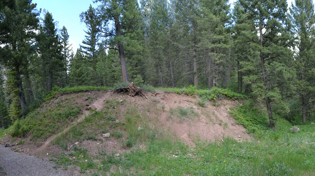 Cabin CreekHikingPhoto: inkenbrandt, CC BY 2.0 (via Flickr)4.5 mi
 Madison RiverCanoeingPhoto: Jim Peaco, National Park Service, Public domain (via Wikimedia Commons)4.6 mi
Source: Roamze catalog (indexable pages within 10 miles, PostGIS distance)
- Cabin CreekHiking · ~8 min drivePhoto: inkenbrandt, CC BY 2.0 (via Flickr)
 Papoose Creek TrailHiking · ~13 min drivePhoto: Jon Roanhaus, CC BY-SA 4.0 (via Wikimedia Commons)
 Tumble BasinHiking · ~19 min drivePhoto: Forest Service - Northern Region, Public Domain Mark (via Flickr)
- Lightning LakeHiking · ~8 min drive
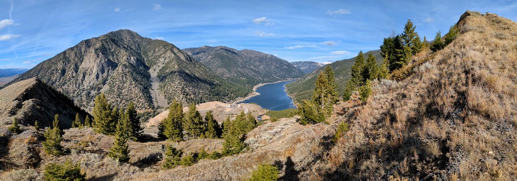 Sheep LakeHiking · ~10 min drivePhoto: Forest Service - Northern Region, Public Domain Mark (via Flickr)
- Papoose Creek TralHiking · ~10 min drive
- Hilgard BasinHiking · ~8 min drive
- Cabin Creek DivideHiking · ~11 min drive
 Kirkwood TrailHiking · ~11 min drivePhoto: Sam Beebe/Ecotrust, CC BY-SA 3.0 (via Wikimedia Commons)
- LOST MINE CANYONHiking · ~17 min drive
