Moose Creek
- 4.0 mi
- round trip
- 3,143 ft
- climb
- 10,011 ft
- high point
- Out and back
- route
Moose Creek is a hard out-and-back hike in Montana, about 7 miles from the small community of Schusters Place. The route is roughly 8 miles long, with a total elevation gain of about 3,143 feet, and it reaches a high point of about 10,000 feet. The climb is rolling, but the steepest stretch comes around mile 3.6, where the grade reaches about 34 percent. The trip takes about four hours, and the trail starts at an elevation of about 7,727 feet. The low point on the route is about 7,709 feet, and the total descent mirrors the total gain. Wolf Creek lies about 3 miles away, and Hilgard Basin is about 4.5 miles off. For an overnight stay, West Fork Madison Campground is about 6 miles away, and Riverview Campground is about 6.3 miles away.
- WOLF CREEKHiking2.9 mi
- Papoose Creek TralHiking4.4 mi
- Hilgard BasinHiking4.5 mi
- Windy Point Boat LaunchRiver fishing5.2 mi
 Papoose Creek TrailHikingPhoto: Jon Roanhaus, CC BY-SA 4.0 (via Wikimedia Commons)5.3 mi
- West Fork Madison CampgroundCamping6.1 mi
- Riverview CampgroundCamping6.3 mi
- Palisades CampgroundCamping6.4 mi
Source: Roamze catalog (indexable pages within 10 miles, PostGIS distance)
 Tumble BasinHiking · ~13 min drivePhoto: Forest Service - Northern Region, Public Domain Mark (via Flickr)
- TumbledownHiking · ~14 min drivePhoto: Forest Service - Northern Region, Public Domain Mark (via Flickr)
- Papoose Creek TrailHiking · ~9 min drivePhoto: Jon Roanhaus, CC BY-SA 4.0 (via Wikimedia Commons)
- Alp CreekHiking · ~12 min drive
- Hilgard BasinHiking · ~8 min drive
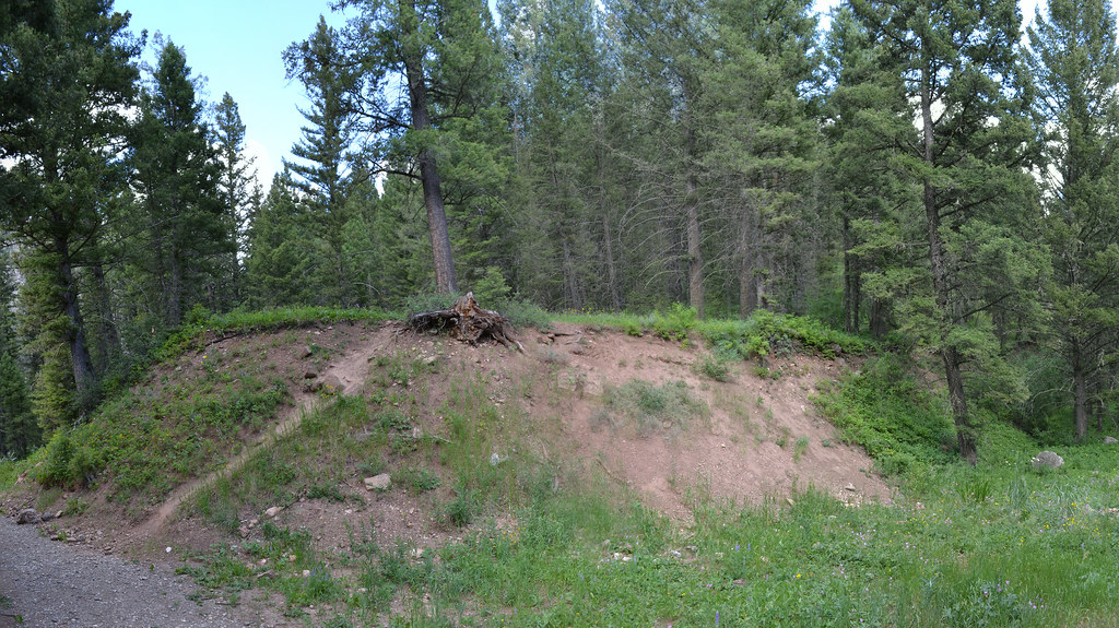 Cabin CreekHiking · ~20 min drivePhoto: inkenbrandt, CC BY 2.0 (via Flickr)
- Papoose Creek TralHiking · ~8 min drive
- Cabin Creek DivideHiking · ~16 min drive
- Avalanche LakeHiking · ~13 min drive
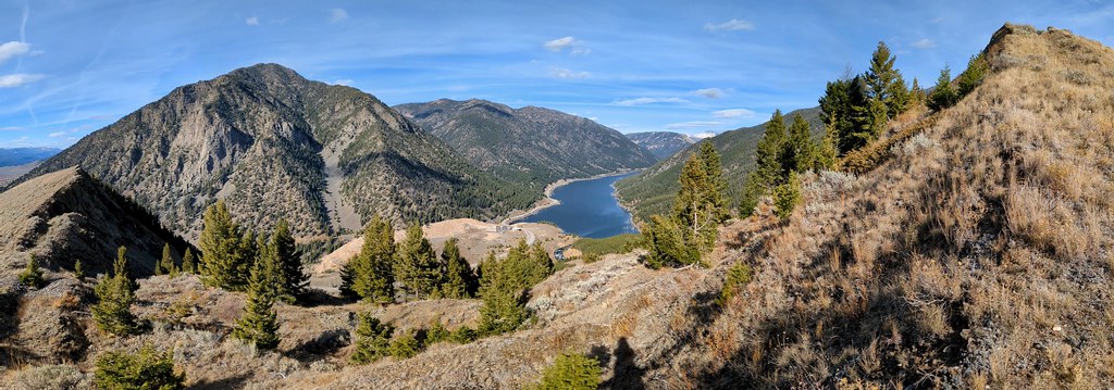 Sheep LakeHiking · ~21 min drivePhoto: Forest Service - Northern Region, Public Domain Mark (via Flickr)
