Hilgard Basin
- 3.6 mi
- round trip
- 444 ft
- climb
- 9,769 ft
- high point
- Out and back
- route
Is Hilgard Basin open right now?
Closure in the area
There's a closure order in Custer Gallatin National Forest. It doesn't name Hilgard Basin, so check the source for the area it covers (16 listed).
NFSR #1700 South Plateau Road Closure
Agency closure covering Custer Gallatin National Forest · USFS · Custer Gallatin National Forest
Lonesomewood Prescribed Fire Area, Road, and Trail Closure
Agency closure covering Hebgen Lake Ranger District · Order 01-11-07-26-03 · USFS · Hebgen Lake Ranger District
South Plateau Road #1700 Opening Delayed
Agency closure covering Hebgen Lake Ranger District · USFS · Hebgen Lake Ranger District
Hyalite Porcupine Buffalo Horn Summer Interim Travel Order and Map and Order # 01-11-00-26-02
Agency closure covering Custer Gallatin National Forest · Order 01-11-00-26-02 · USFS · Custer Gallatin National Forest
Hyalite Porcupine Buffalo Horn Winter Interim Travel Order and Map Order Number: #01-11-00-26-01
Agency closure covering Custer Gallatin National Forest · USFS · Custer Gallatin National Forest
As of · Source: USFS · Custer Gallatin National Forest. Agencies don't list every closure — check before you go.
Hilgard Basin is an easy out-and-back hike of about 3.6 miles in the Lee Metcalf Wilderness, part of the Hebgen Lake Ranger District of Custer Gallatin National Forest in Montana. The trail is managed by the Forest Service and runs on natural surface, and it is rated easy with a one-way climb of about 444 feet. The route starts at a low point of about 9,426 feet and reaches a high of about 9,769 feet. Horses are allowed, and bikes are not. For more time on foot, Sentinel Creek and Alp Creek are both within about 4 miles. Beaver Creek Cabin (mt) offers a place to stay about 5 miles away, and the Madison River, a canoeing destination, is about 8 miles off.
Keep exploring — more trails worth the drive
 Photo: Forest Service - Northern Region, Public Domain Mark (via Flickr)
Tumble Basin
~11 min drive
1.16-mile out-and-back trail in Montana with 157 ft elevation gain.
Photo: Forest Service - Northern Region, Public Domain Mark (via Flickr)Tumbledown
~12 min drive
6.09-mile out-and-back trail in Montana with 1,651 ft elevation gain.
 Photo: Jon Roanhaus, CC BY-SA 4.0 (via Wikimedia Commons)
Papoose Creek Trail
~13 min drive
16.62-mile out-and-back trail in Montana with 4,686 ft elevation gain/loss.
HIKE
Alp Creek
~7 min drive
6.67-mile out-and-back trail in Montana with 1,585 ft of elevation gain.
HIKE
Avalanche Lake
~8 min drive
2.05-mile out-and-back trail to Avalanche Lake in Montana with 507 ft of gain.
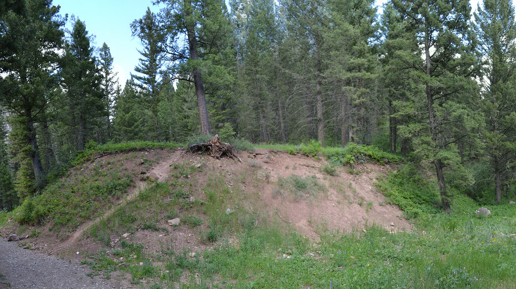 Photo: inkenbrandt, CC BY 2.0 (via Flickr)
Cabin Creek
~13 min drive
11.09-mile out-and-back trail in Montana with 2,389 ft elevation gain.
HIKE
Papoose Creek Tral
~10 min drive
11.86-mile out-and-back trail in Montana with 3,686 ft elevation gain and loss.
HIKE
Lightning Lake
~8 min drive
7.86-mile out-and-back trail to Lightning Lake in Montana with 1,960 ft elevation gain.
HIKE
Upper Sage Creek
~12 min drive
Upper Sage Creek is a 2.32-mile out-and-back trail in Montana with 6 feet of elevation gain.
 Photo: Sam Beebe/Ecotrust, CC BY-SA 3.0 (via Wikimedia Commons)
Kirkwood Trail
~17 min drive
13.56-mile out-and-back in Montana with 3,849 ft gain/loss.
