Papoose Creek Trail
 Photo: Jon Roanhaus, CC BY-SA 4.0 (via Wikimedia Commons)
- 8.3 mi
- round trip
- 4,686 ft
- climb
- 9,728 ft
- high point
- Out and back
- route
Caution at last check
Weather is marginal · OpenWeather · checked 13 h ago
Papoose Creek Trail is an out-and-back hike in Montana, about 2 miles from the small community of Schusters Place. The route is roughly 16.6 miles long, with a total elevation gain of about 4,686 feet, and it is rated expert. The trail starts at about 6,110 feet and climbs to a high point of 9,728 feet, with the steepest stretch around mile 4.5, where the grade reaches about 35%. The climb is front-loaded, so the hardest part of the hike comes early. The trail is long and steep, and the round trip adds up to about 8 hours. West Fork Madison Campground sits less than a mile away, and Riverview Campground and the Madison River (MT) campground are both within about a mile and a half. For more time on the trail, Lake Creek is about 3 miles off.
- West Fork Madison CampgroundCamping0.8 mi
- Riverview CampgroundCamping1.1 mi
- Madison River (MT)Camping1.3 mi
- Papoose Creek TralHiking1.9 mi
- West Fork Corridor/Smith Lake & Soap CreekCamping3.1 mi
- LAKE CREEKHiking3.2 mi
- MOOSE CREEKHiking5.3 mi
- Windy Point Boat LaunchRiver fishing5.8 mi
Source: Roamze catalog (indexable pages within 10 miles, PostGIS distance)
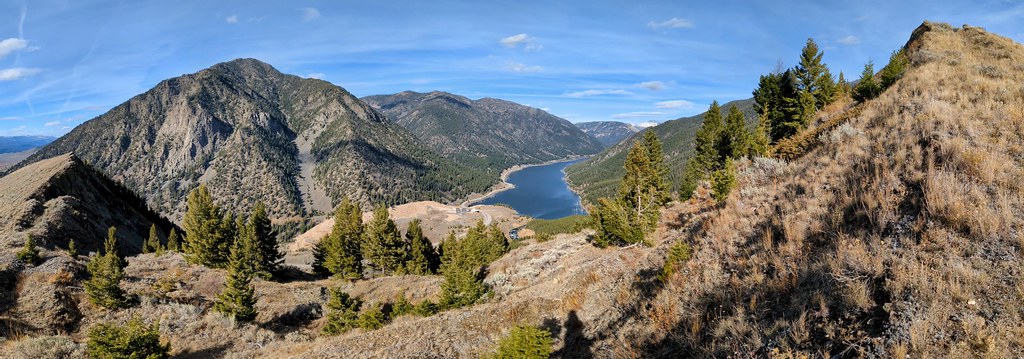 Sheep LakeHiking · ~17 min drivePhoto: Forest Service - Northern Region, Public Domain Mark (via Flickr)
 Tumble BasinHiking · ~21 min drivePhoto: Forest Service - Northern Region, Public Domain Mark (via Flickr)
- Papoose Creek TralHiking · ~3 min drive
- STANDARD CREEKHiking · ~16 min drive
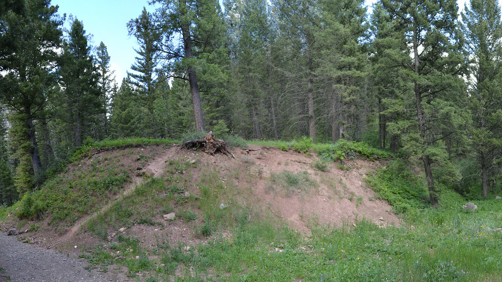 Cabin CreekHiking · ~21 min drivePhoto: inkenbrandt, CC BY 2.0 (via Flickr)
- FAULT TRAILHiking · ~11 min drive
- FREEZEOUT MOUNTAINHiking · ~15 min drive
- SOUTH FORK HYDE CREEKHiking · ~19 min drive
- TumbledownHiking · ~22 min drivePhoto: Forest Service - Northern Region, Public Domain Mark (via Flickr)
- Hilgard BasinHiking · ~13 min drive
