Greyhound Mountain
- 8,992 ft
- summit
- 1
- way up
Is Greyhound Mountain open right now?
Alert in the area
The Forest Service lists an alert for Salmon-Challis National Forest.
Stoddard Bridge Construction Closure
Agency alert covering Salmon-Challis National Forest · Order 0413-07-17 · USFS · Salmon-Challis National Forest
As of · Source: USFS · Salmon-Challis National Forest. Agencies don't list every closure — check before you go.
Greyhound Mountain is a summit in the Middle Fork Ranger District of Salmon-Challis National Forest in central Idaho. The nearest town is Casto, about 13.5 miles away, so plan on reaching it through national forest country rather than from a town at its base. The peak sits in a cluster of hiking and paddling destinations, which makes it easy to pair with other outings in the same part of the forest. Soldier Ridge is only about 0.2 miles away, so the two are effectively neighbors. Hard Scrabble and Rapid River are both about 2.6 miles out, and Soldier Basin lies about 3.4 miles off. For a longer trip, the Middle Fork Salmon River is about 9.3 miles away. Dagger Falls Campground, about 9.5 miles from the peak, offers a nearby place to stay while exploring the district.
Conditions and forecast
Daily highs and lows, wind and the chance of precipitation at the summit and route start for the next 7 days, from the Open-Meteo model.
- Summit elevation
- 8,992 ft
Elevation from USGS 3D Elevation Program terrain data (about 10 m resolution).
Map © Mapbox © OpenStreetMap contributors Questions about Greyhound Mountain
How tall is Greyhound Mountain?
8,992 ft (2,741 m).
How many routes go to the summit of Greyhound Mountain?
One: Soldier Ridge.
When is the best time to climb Greyhound Mountain?
Year-round.
- Big Soldier Mountain8,984 ft · Idaho1 route7.2 mi away
- Little Soldier Mountain8,812 ft · Idaho1 route7.9 mi away
- Ruffneck Peak9,418 ft · Idaho1 route8.1 mi away
- Blue Bunch Mountain8,746 ft · Idaho1 route11 mi away
- Morehead Mountain8,504 ft · Idaho1 route12 mi away
- Big Baldy9,707 ft · Idaho1 route14 mi away
- Soldier RidgeHiking0.2 mi
- Rapid RiverCanoeing2.6 mi
- Hard ScrabbleHiking2.6 mi
- Soldier BasinHiking3.4 mi
 Middle Fork Salmon RiverCanoeingPhoto: Rex Parker, CC BY 2.0 (via Wikimedia Commons)9.3 mi
- Elkhorn CreekCanoeing9.4 mi
- Dagger Falls CampgroundCamping9.5 mi
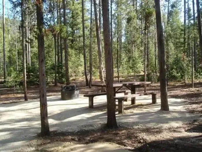 Boundary Creek CampgroundCampingPhoto: Recreation.gov (RIDB) / public domain9.7 mi
Source: Roamze catalog (indexable pages within 10 miles, PostGIS distance)
 McGowan PeakSummit · ~46 min drivePhoto: Fredlyfish4, CC BY-SA 4.0 (via Wikimedia Commons)
 Alpine PeakSummit · ~51 min drivePhoto: Fredlyfish4, CC BY-SA 3.0 (via Wikimedia Commons)
 Mount ReganSummit · ~52 min drivePhoto: Fredlyfish4, CC BY-SA 4.0 (via Wikimedia Commons)
 Thompson PeakSummit · ~55 min drivePhoto: Fredlyfish4, CC BY-SA 3.0 (via Wikimedia Commons)
 Baron PeakSummit · ~56 min drivePhoto: Fredlyfish4, CC BY-SA 3.0 (via Wikimedia Commons)
 Watson PeakSummit · ~1h 6m drivePhoto: Fredlyfish4, CC BY-SA 3.0 (via Wikimedia Commons)
 Decker PeakSummit · ~1h 7m drivePhoto: Fredlyfish4, CC BY-SA 4.0 (via Wikimedia Commons)
 Elk PeakSummit · ~1h 8m drivePhoto: Fredlyfish4, CC BY-SA 3.0 (via Wikimedia Commons)
 Lee PeakSummit · ~1h 12m drivePhoto: Leaflet, CC BY-SA 4.0 (via Wikimedia Commons)
- Payette PeakSummit · ~1h 12m drivePhoto: Fredlyfish4, CC BY-SA 3.0 (via Wikimedia Commons)
Also worth it near here
- Iris LakeLake fishing · ~12 min drive
- Velvet FallsWaterfall · ~14 min drive
- Middle Fork Salmon RiverCanoeing · ~16 min drivePhoto: Rex Parker, CC BY 2.0 (via Wikimedia Commons)
- Boundary Creek CampgroundCamping · ~17 min drive
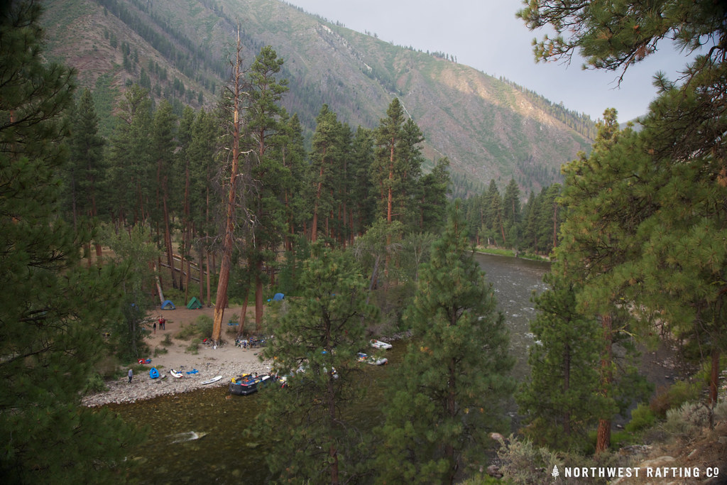 Middle Fork TrailHiking · ~17 min drivePhoto: Northwest Rafting Company, CC BY 2.0 (via Flickr)
