
Payette Peak
About
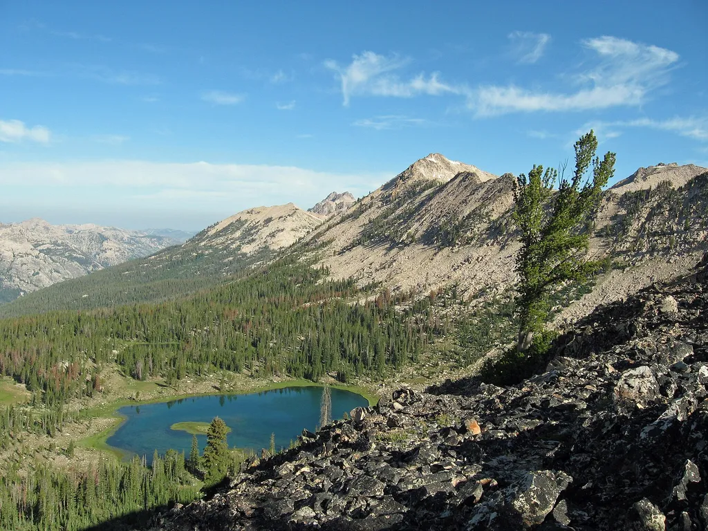
Payette Peak is a summit of about 10,200 feet in Custer County, Idaho, inside the Sawtooth Wilderness. The peak lies within the Sawtooth National Recreation Area of the Sawtooth National Forest, which the Forest Service manages, and the nearest town is Stanley, about 15 miles away. The closest trail is the Mount Cramer Trail, under a mile away, and the Alice Lake - Redfish Lake Trail is about 1.6 miles off. For an overnight base, Pettit Lake Campground is roughly 6 miles away, and the Sawtooth Wilderness offers lake fishing about 4 miles from the peak.
Summit Facts
Summit elevation
10,200 ft
Land manager
Forest Service
Elevation from USGS 3D Elevation Program terrain data (about 10 m resolution).
Location
Payette Peak
Idaho
Name and location: U.S. Geological Survey, Geographic Names Information System (GNIS). Elevation: USGS 3D Elevation Program. View the GNIS record.
Facts about this place
Where it is
- Sawtooth Wilderness · Wilderness
- Sawtooth National Recreation Area · Ranger district
- Sawtooth National Forest · National forest
- Nearest town
- Stanley, Idaho · 15 mi
- Managed by
- Forest Service
Source: Wilderness.net boundaries; USFS EDW boundaries; USGS PAD-US 4.1; USGS GNIS populated places
Conditions
Active alerts for Sawtooth National Forest as of Oct 9, 2026:
Stinson Creek Prescribed Burn Restricted Access
caution · posted Oct 5, 2026
Public Safety – Occupancy and Use
information · posted Sep 11, 2026
Occupancy and Use - Food Storage
caution · posted Aug 24, 2026
information · posted Aug 24, 2026
Hemingway-Boulders and Cecil D. Andrus-White Clouds Wilderness Areas - Occupancy and Use
information · posted Aug 24, 2026
Sawtooth Wilderness Area Occupancy and Use
information · posted Aug 24, 2026
Over-Snow Vehicle and Bicycle Prohibitions
caution · posted Aug 24, 2026
Sawtooth National Recreation Area - Occupancy and Use
information · posted Aug 24, 2026
Boating, Swimming, and Salmon River Corridor Use Prohibitions
information · posted Aug 24, 2026
information · posted Aug 24, 2026
Source: USFS forest alerts
Nearby
 Mount Cramer TrailHikingPhoto: Fredlyfish4 — Wikimedia Commons (CC BY-SA 3.0)0.8 mi
 Alice Lake - Redfish Lake TrailHikingPhoto: Fredlyfish4, CC BY-SA 3.0 (via Wikimedia Commons)1.6 mi
- Sawtooth WildernessLake fishing3.9 mi
- The Elephant's PerchRock climbing5.3 mi
- Pettit Lake CampgroundCamping5.9 mi
- The Sawtooth RangeRock climbing6.4 mi
- Redfish Inlet CgCamping7.6 mi
- Perkins LakeLake fishing8.5 mi
Source: Roamze catalog (indexable pages within 10 miles, PostGIS distance)
Is Payette Peak open right now?
Alert in the area
The Forest Service lists 4 alerts for Sawtooth National Forest.
Paradise Prescribed Burn Restricted Access
Agency alert covering Sawtooth National Forest · USFS · Sawtooth National Forest
Grandjean Area, Road, and Trail Closure
Agency alert covering Sawtooth National Forest · Order 0414-04-165 · USFS · Sawtooth National Forest
Over-Snow Vehicle and Bicycle Prohibitions
Agency alert covering Sawtooth National Forest · Order 0414-00-028 · USFS · Sawtooth National Forest
Occupancy and Use - Food Storage
Agency alert covering Sawtooth National Forest · Order 0414-04-143 · USFS · Sawtooth National Forest
As of · Source: USFS · Sawtooth National Forest. Agencies don't list every closure — check before you go.
