Soldier Ridge
- 18.2 mi
- round trip
- 3,546 ft
- climb
- 8,971 ft
- high point
- Out and back
- route
Is Soldier Ridge open right now?
Alert in the area
The Forest Service lists an alert for Salmon-Challis National Forest.
Stoddard Bridge Construction Closure
Agency alert covering Salmon-Challis National Forest · Order 0413-07-17 · USFS · Salmon-Challis National Forest
As of · Source: USFS · Salmon-Challis National Forest. Agencies don't list every closure — check before you go.
Soldier Ridge is a hard hike of about 18 miles in the Middle Fork Ranger District of Idaho's Salmon-Challis National Forest, managed by the Forest Service. The trail is natural-surfaced and carries horses, which makes it a good option for riders. Biking is not allowed. The route is out and back, with the low point at about 5,124 feet and the high point at about 8,971 feet, a total gain of about 3,546 feet. The climb is long and steep, so plan for a full day. Hard Scrabble and the Rapid River, both about 2.4 miles away, and Soldier Basin at about 3.6 miles are the closest nearby options. For an overnight stay, Dagger Falls Campground sits about 9.6 miles away.
Local outfitters
- The Sawmill Station40 mi away
- Arrowhead RV Park46 mi away
Not on Roamze yet. Their page has how to reach them.
Keep exploring — more trails worth the drive
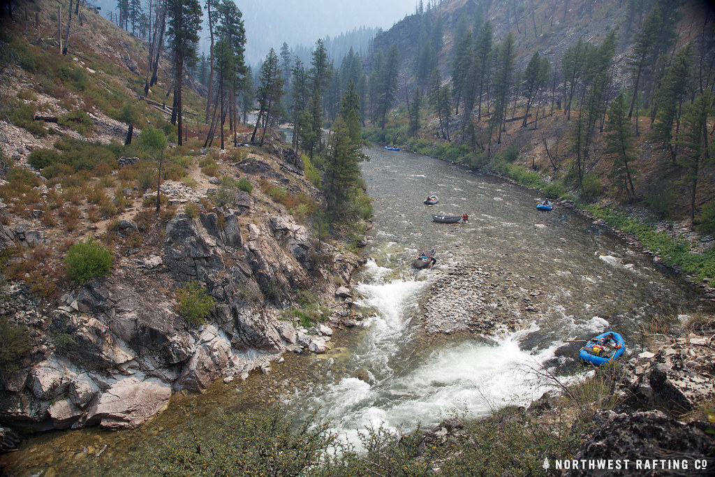 Photo: Northwest Rafting Company, CC BY 2.0 (via Flickr)
Lake Creek
~15 min drive
16.78-mile out-and-back trail in Idaho with 3,270 ft elevation gain.
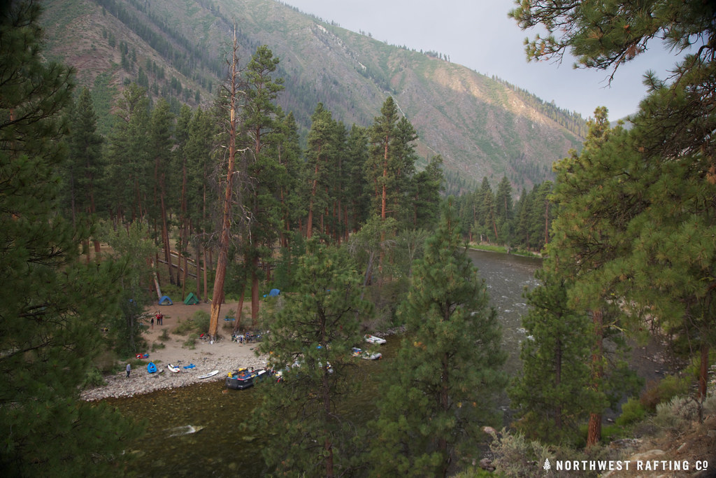 Photo: Northwest Rafting Company, CC BY 2.0 (via Flickr)
Middle Fork Trail
~16 min drive
1.56-mile out-and-back trail in Idaho with 172 ft elevation gain/loss.
HIKE
Pottervine
~10 min drive
3.16-mile out-and-back trail in Idaho with 1,691 ft elevation gain.
HIKE
West Fork Thomas Creek Trail
~18 min drive
11-mile out-and-back trail in Idaho with 4,989 ft elevation gain and loss.
Photo: Northwest Rafting Company, CC BY 2.0 (via Flickr)Norton Lake
~17 min drive
38.80-mile out-and-back trail in Idaho with 4,685 ft elevation gain.
HIKE
Big Soldier Trail
~13 min drive
1.0-mile out-and-back trail in Idaho with 474 ft gain and 8,924 ft max elevation.
HIKE
Cutthroat
~11 min drive
5.81-mile out-and-back trail in Idaho with 419 ft elevation gain.
Photo: Northwest Rafting Company, CC BY 2.0 (via Flickr)Middle Fork East
~18 min drive
24.99-mile out-and-back trail in Idaho with 117 ft of elevation gain.
HIKE
Little Soldier Lookout
~13 min drive
1.87-mile out-and-back trail to Little Soldier Lookout in Idaho with 715 ft of elevation gain.
HIKE
LANGER LAKE SPUR 1
~14 min drive
2.08-mile out-and-back trail in Idaho with 1,239 ft elevation gain and loss.

Route details
- Distance
- 18.2 mi round trip
- Climbing
- About 3,546 ft
- Summit
- 8,992 ft
- Difficulty
- Hard
Season
Season: Year-round.
Questions about this route
How long is the Soldier Ridge on Greyhound Mountain?
About 18.2 mi round trip.
How much elevation gain is on the Soldier Ridge?
About 3,546 ft of climbing round trip.
How hard is the Soldier Ridge?
It is rated hard.
When is the best time for the Soldier Ridge?
Year-round.
Conditions and forecast on Greyhound Mountain
Daily highs and lows, wind and the chance of precipitation at the summit and route start for the next 7 days, from the Open-Meteo model.
