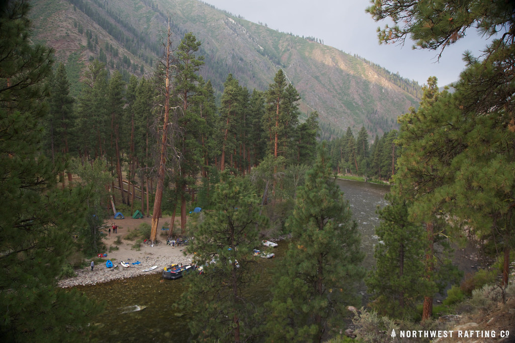
Big Baldy
- 9,707 ft
- summit
- 1
- way up
Is Big Baldy open right now?
Alert in the area
The Forest Service lists an alert for Salmon-Challis National Forest.
Stoddard Bridge Construction Closure
Agency alert covering Salmon-Challis National Forest · Order 0413-07-17 · USFS · Salmon-Challis National Forest
As of · Source: USFS · Salmon-Challis National Forest. Agencies don't list every closure — check before you go.
Big Baldy is a summit in Idaho's Frank Church-River of No Return Wilderness, within the Middle Fork Ranger District of the Salmon-Challis National Forest. Yellow Pine is the nearest town, about 18 miles away. Because the peak sits inside designated wilderness, trip planning starts with the rules for that larger area. Several routes start close by. Big Baldy Lo is about half a mile away and Garden Way about 1.3 miles. Big Baldy Ridge and Little Pistol Creek both lie roughly 4.3 miles off.
Conditions and forecast
Daily highs and lows, wind and the chance of precipitation at the summit and route start for the next 7 days, from the Open-Meteo model.
- Summit elevation
- 9,707 ft
Elevation from USGS 3D Elevation Program terrain data (about 10 m resolution).
Map © Mapbox © OpenStreetMap contributors Questions about Big Baldy
How tall is Big Baldy?
9,707 ft (2,959 m).
How many routes go to the summit of Big Baldy?
One: Big Baldy Lo.
When is the best time to climb Big Baldy?
Year-round.
- Little Soldier Mountain8,812 ft · Idaho1 route8.1 mi away
- Greyhound Mountain8,992 ft · Idaho1 route14 mi away
- Big Soldier Mountain8,984 ft · Idaho1 route15 mi away
- Morehead Mountain8,504 ft · Idaho1 route17 mi away
- Shellrock Peak9,439 ft · Idaho1 route18 mi away
- Log Mountain9,164 ft · Idaho1 route19 mi away
- Big Baldy LoHiking0.5 mi
- Garden WayHiking1.3 mi
- Little Pistol CreekHiking4.3 mi
- Big Baldy RidgeHiking4.3 mi
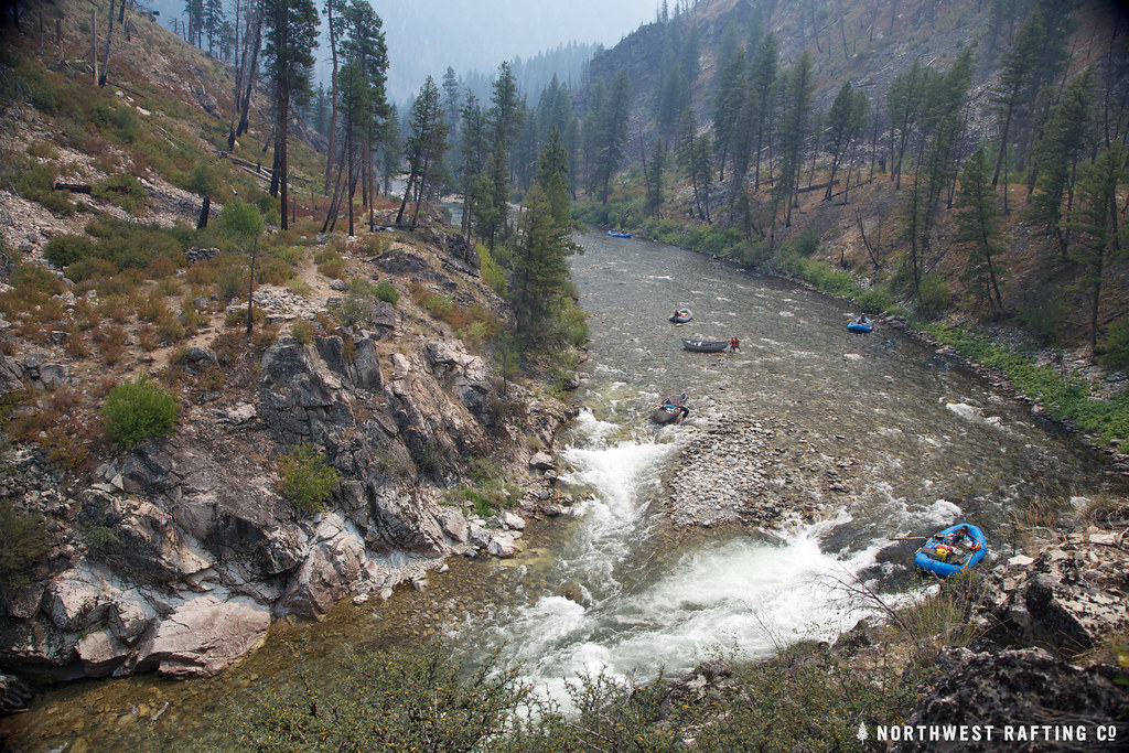 Lake CreekHikingPhoto: Northwest Rafting Company, CC BY 2.0 (via Flickr)5.1 mi
- Forty - Five CreekHiking5.2 mi
- Mule HillHiking5.2 mi
- Pistol CreekCanoeing7.3 mi
Source: Roamze catalog (indexable pages within 10 miles, PostGIS distance)
 Twin PeaksSummit · ~1h 2m drivePhoto: BLMIdaho, Public domain (via Wikimedia Commons)
 McGowan PeakSummit · ~1h 8m drivePhoto: Fredlyfish4, CC BY-SA 4.0 (via Wikimedia Commons)
 Alpine PeakSummit · ~1h 14m drivePhoto: Fredlyfish4, CC BY-SA 3.0 (via Wikimedia Commons)
 Mount ReganSummit · ~1h 15m drivePhoto: Fredlyfish4, CC BY-SA 4.0 (via Wikimedia Commons)
 Baron PeakSummit · ~1h 19m drivePhoto: Fredlyfish4, CC BY-SA 3.0 (via Wikimedia Commons)
 Thompson PeakSummit · ~1h 18m drivePhoto: Fredlyfish4, CC BY-SA 3.0 (via Wikimedia Commons)
- Greyhound MountainSummit · ~24 min drive
- Big Soldier MountainSummit · ~26 min drive
- Morehead MountainSummit · ~28 min drive
- Shellrock PeakSummit · ~31 min drive