McGowan Peak
 Photo: Fredlyfish4, CC BY-SA 4.0 (via Wikimedia Commons)
- 9,860 ft
- summit
- Forest Service
- managed by
Is McGowan Peak open right now?
Alert in the area
The Forest Service lists 4 alerts for Sawtooth National Forest.
Paradise Prescribed Burn Restricted Access
Agency alert covering Sawtooth National Forest · USFS · Sawtooth National Forest
Grandjean Area, Road, and Trail Closure
Agency alert covering Sawtooth National Forest · Order 0414-04-165 · USFS · Sawtooth National Forest
Over-Snow Vehicle and Bicycle Prohibitions
Agency alert covering Sawtooth National Forest · Order 0414-00-028 · USFS · Sawtooth National Forest
Occupancy and Use - Food Storage
Agency alert covering Sawtooth National Forest · Order 0414-04-143 · USFS · Sawtooth National Forest
As of · Source: USFS · Sawtooth National Forest. Agencies don't list every closure — check before you go.
McGowan Peak is a summit of about 9,860 feet in Custer County, Idaho, inside the Sawtooth Wilderness. The peak lies within the Sawtooth National Recreation Area and the Sawtooth National Forest, both managed by the Forest Service, and the nearest town is Stanley, about 7 miles away. The closest trails are Bridal Veil Falls Trail, about a mile away, and Alpine Way Trail, about 1.8 miles off. Stanley Lake Campground and Iron Creek Campground are both within about 4 miles.
Conditions and forecast
Daily highs and lows, wind and the chance of precipitation at the summit for the next 7 days, from the Open-Meteo model.
- Summit elevation
- 9,860 ft
- Land manager
- Forest Service
Elevation from USGS 3D Elevation Program terrain data (about 10 m resolution).
We don't know of a mapped trail or route to the summit of McGowan Peak. Plan the approach with local maps, a guidebook or a local guide, and check conditions before you go.
Questions about McGowan Peak
How tall is McGowan Peak?
9,860 ft (3,005 m).
Is there a trail to the top of McGowan Peak?
We don't know of a mapped trail or route to the summit. Plan the approach with local maps, a guidebook or a local guide.
- Observation Peak9,150 ft · Idaho1 route3.2 mi away
 Thompson Peak10,741 ft · Idaho1 route6.1 mi awayPhoto: Fredlyfish4, CC BY-SA 3.0 (via Wikimedia Commons)
- Lookout Mountain9,956 ft · Idaho1 route16 mi away
- Red Mountain8,723 ft · Idaho1 route16 mi away
- Ruffneck Peak9,418 ft · Idaho1 route19 mi away
- Blue Bunch Mountain8,746 ft · Idaho1 route21 mi away
- Bridal Veil Falls TrailHiking1 mi
 Alpine Way TrailHikingPhoto: Fredlyfish4 at English Wikipedia, Public domain (via Wikimedia Commons)1.8 mi
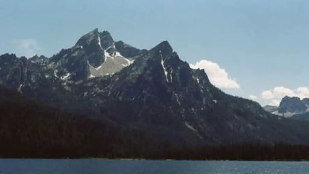 Stanley Lake CampgroundCampingPhoto: Recreation.gov (RIDB) / public domain2.9 mi
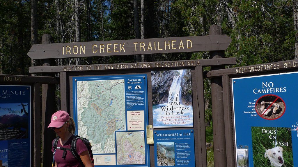 Iron Creek CgCampingPhoto: brianteutsch — CC BY 2.0 (via Flickr)3.7 mi
- Valley CreekCanoeing7.3 mi
- Salmon RiverRiver fishing7.5 mi
- Baron Spire aka Old SmoothieRock climbing9 mi
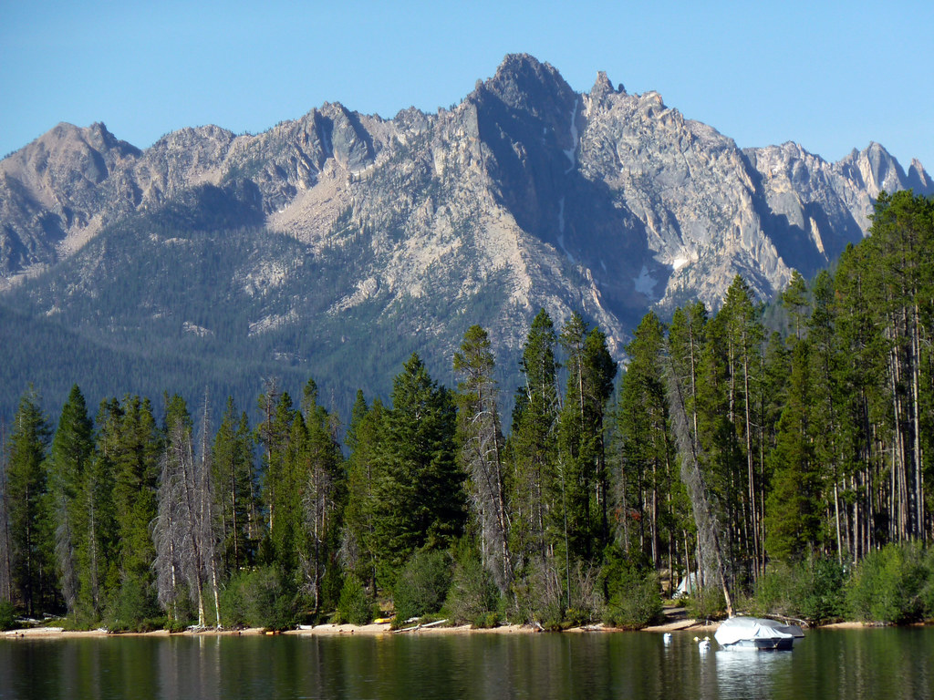 Redfish Lake BoulderingRock climbingPhoto: treegrow, CC BY 2.0 (via Flickr)9.1 mi
Source: Roamze catalog (indexable pages within 10 miles, PostGIS distance)
 Alpine PeakSummit · ~6 min drivePhoto: Fredlyfish4, CC BY-SA 3.0 (via Wikimedia Commons)
 Mount ReganSummit · ~6 min drivePhoto: Fredlyfish4, CC BY-SA 4.0 (via Wikimedia Commons)
- Thompson PeakSummit · ~10 min drivePhoto: Fredlyfish4, CC BY-SA 3.0 (via Wikimedia Commons)
 Baron PeakSummit · ~11 min drivePhoto: Fredlyfish4, CC BY-SA 3.0 (via Wikimedia Commons)
 Decker PeakSummit · ~22 min drivePhoto: Fredlyfish4, CC BY-SA 4.0 (via Wikimedia Commons)
 Elk PeakSummit · ~23 min drivePhoto: Fredlyfish4, CC BY-SA 3.0 (via Wikimedia Commons)
- Payette PeakSummit · ~27 min drivePhoto: Fredlyfish4, CC BY-SA 3.0 (via Wikimedia Commons)
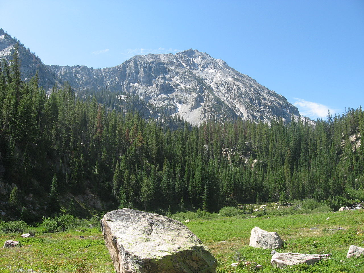 Parks PeakSummit · ~32 min drivePhoto: Fredlyfish4, CC BY-SA 3.0 (via Wikimedia Commons)
 Snowyside PeakSummit · ~34 min drivePhoto: Fredlyfish4, CC BY-SA 3.0 (via Wikimedia Commons)
 McDonald PeakSummit · ~35 min drivePhoto: Fredlyfish4, CC BY-SA 3.0 (via Wikimedia Commons)
Also worth it near here
- Bridal Veil FallsWaterfall · ~2 min drive
 Iron Creek - Stanley LakeMountain biking · ~3 min drivePhoto: Fredlyfish4 at English Wikipedia, Public domain (via Wikimedia Commons)
- Alpine Way TrailHiking · ~3 min drivePhoto: Fredlyfish4 at English Wikipedia, Public domain (via Wikimedia Commons)
- Sawtooth LakeLake fishing · ~5 min drive
