Amicalola Mountain
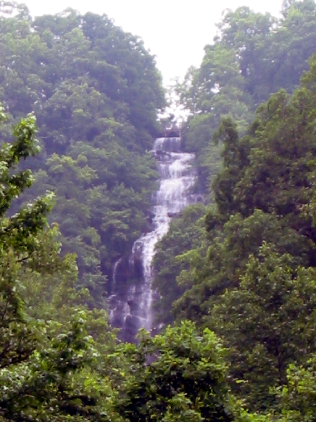
 Photo: Scott Long, CC BY 3.0 (via Wikimedia Commons)
- Mar–May, Aug–Nov
- best months
Is Amicalola Mountain open right now?
Closure in the area
There's a closure order in Chattahoochee-Oconee National Forests. It doesn't name Amicalola Mountain, so check the source for the area it covers (4 listed).
Bear Creek Road, FS 241, Temporarily Closed
Agency closure covering Chattahoochee-Oconee National Forests · USFS · Chattahoochee-Oconee National Forests
Prescribed fire on Oconee Ranger District at Jasper County
Agency closure covering Chattahoochee-Oconee National Forests · USFS · Chattahoochee-Oconee National Forests
Muskrat Road, FS 218, Temporarily Closed
Agency closure covering Chattahoochee-Oconee National Forests · USFS · Chattahoochee-Oconee National Forests
Flash Flood Awareness
Agency closure covering Chattahoochee-Oconee National Forests · USFS · Chattahoochee-Oconee National Forests
Lake Winfield Scott closed except fishing pier
Agency alert covering Chattahoochee-Oconee National Forests · USFS · Chattahoochee-Oconee National Forests
As of · Source: USFS · Chattahoochee-Oconee National Forests. Agencies don't list every closure — check before you go.
- At 3,327 ft
- Blue Ridge Ranger DistrictChattahoochee-Oconee National Forests
Amicalola Mountain Campground offers a mountain camping experience in Georgia's scenic landscape, with sites nestled in the natural setting of the Amicalola area. This campground serves as an excellent base for exploring Georgia's outdoor recreation opportunities, including nearby waterfalls, hiking, and mountain scenery. Whether you're seeking a peaceful mountain retreat or a starting point for adventure, this Georgia campground provides access to the region's natural attractions.
Local outfitters
- North Georgia Ultimate Canopy Tours34 mi away
- Hiwassee Outfitters43 mi away
Not on Roamze yet. Their page has how to reach them.
Best time to go · Mar–May, Aug–Nov
Best time to visit Amicalola Mountain
Best months: March–May and August–November. Best months have typical highs of 55–85 °F, lows of 30 °F or warmer (32 °F where the station doesn't record snow), at most one snowy day and no more than 12 wet days.
Jan
49° / 25°
12 wet
Feb
53° / 28°
12 wet
Mar
60° / 34°
12 wet
Apr
69° / 41°
11 wet
May
76° / 50°
12 wet
Jun
82° / 58°
13 wet
Jul
85° / 62°
13 wet
Aug
84° / 61°
12 wet
Sep
80° / 55°
9 wet
Oct
70° / 43°
10 wet
Nov
61° / 33°
10 wet
Dec
52° / 29°
12 wet
Typical high / low (°F) and days with rain or snow, 1991–2020. Measured at Blairsville Exp Stn, GA, 24 mi away at 1,949 ft. The station sits about 1,400 ft lower than this place, so expect it a little cooler here. This station doesn't record snowfall. Source: NOAA NCEI U.S. Climate Normals 1991–2020.
Closures we've recorded since August 2026
Spring 2026 Forest-wide Fire Restrictions
Chattahoochee-Oconee National Forests · Order dated April 23, 2026; seen Aug 23, 2026 → lifted Oct 13, 2026 · Forest Service
Keep exploring — more campsites worth the drive
 Photo: anonymouse1, CC BY-SA 3.0 (via Wikimedia Commons)
Under the Hemlock
~7 min drive
Forested Georgia campground sheltered by native hemlock trees.
 Photo: Thomson M, CC BY 3.0 (via Wikimedia Commons)
Sharptop Cove Young Life Camp
~17 min drive
Georgia Young Life retreat campground in a scenic cove setting.
 Photo: Scott Long, CC BY 3.0 (via Wikimedia Commons)
Camp Hidden Lake
~16 min drive
Georgia campground near water recreation with reservable sites.
 Photo: Chanilim714, CC BY-SA 3.0 (via Wikimedia Commons)
A.T. Gooch Mountain Shelter
~19 min drive
Rustic U.S. Forest Service shelter camping on Georgia's Appalachian Trail.
 Photo: Thomson20192, CC0 (via Wikimedia Commons)
Glamp Blue Ridge
~23 min drive
Glamping accommodations in Georgia's Blue Ridge mountain setting.
BED
Amicalola Falls State Park Campground
~3 min drive
Reservable state park campground in Georgia foothills near Amicalola Falls.
BED
A.T. Black Mountain Gap Shelter
~4 min drive
Rustic 8-site shelter camping area on Georgia's Appalachian Trail corridor.
BED
Nimblewill Dispersed Area
~5 min drive
Rustic, first-come dispersed camping in Georgia's national forest.
BED
A.T. Springer Mountain Shelter
~5 min drive
A.T. Springer Mountain Shelter is a 12-site campground in Georgia managed by the Forest Service.
BED
A.T. Stover Creek Shelter
~7 min drive
Primitive 16-site shelter camping on Georgia's Appalachian Trail.
Also worth it near here


Map and trail data © OpenStreetMap contributors
