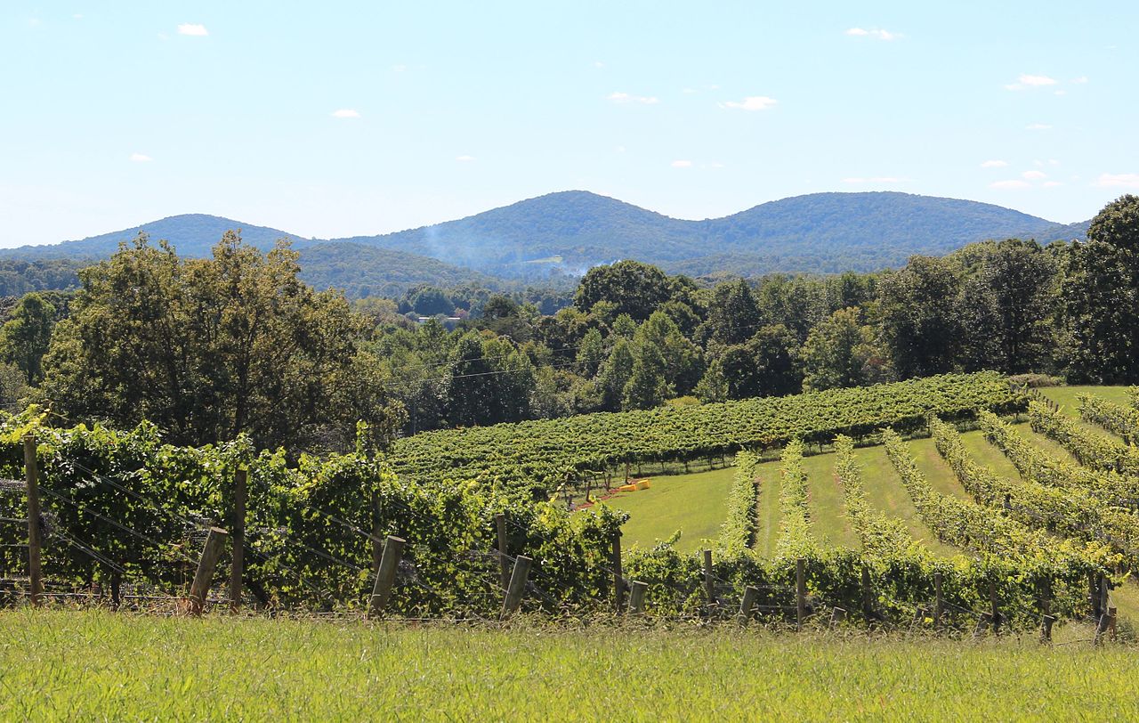
Yonah Mountain
 Photo: Tclo8899, CC BY-SA 3.0 (via Wikimedia Commons)
- 3,164 ft
- summit
- 1
- way up
- Mar–May, Sep–Nov
- best months
Is Yonah Mountain open right now?
Closure in the area
There's a closure order in Chattahoochee-Oconee National Forests. It doesn't name Yonah Mountain, so check the source for the area it covers (5 listed).
West Cowpen, FS Road 17, Road Maintenance
Agency closure covering Chattahoochee-Oconee National Forests · USFS · Chattahoochee-Oconee National Forests
Bear Creek Road, FS 241, Temporarily Closed
Agency closure covering Chattahoochee-Oconee National Forests · USFS · Chattahoochee-Oconee National Forests
Prescribed fire on Oconee Ranger District at Jasper County
Agency closure covering Chattahoochee-Oconee National Forests · USFS · Chattahoochee-Oconee National Forests
Muskrat Road, FS 218, Temporarily Closed
Agency closure covering Chattahoochee-Oconee National Forests · USFS · Chattahoochee-Oconee National Forests
Flash Flood Awareness
Agency closure covering Chattahoochee-Oconee National Forests · USFS · Chattahoochee-Oconee National Forests
As of · Source: USFS · Chattahoochee-Oconee National Forests. Agencies don't list every closure — check before you go.
Yonah Mountain is a summit of 3,164 feet in the Chattooga River Ranger District of the Chattahoochee-Oconee National Forests in north Georgia, about 1.7 miles from the town of Yonah. The peak sits within a cluster of climbing areas, with the Mid-Trail Boulders, Main Face and Mount Yonah climbing areas all about 0.1 mile away. For comfortable weather, aim for late spring or early fall. Typical averages from a nearby weather station show May highs around 74°F and October highs around 68°F, with September the driest month at about nine wet days. That station sits roughly 1,600 feet below the summit, so temperatures on the mountain run cooler. Nearby, the Tsalaki Trail and Chunanee Falls Trail are both within about 3 miles. Dukes Creek offers river fishing about 3.2 miles away, and the A.T. Whitley Gap Shelter is about 8.6 miles off.
Conditions and forecast
Daily highs and lows, wind and the chance of precipitation at the summit and route start for the next 7 days, from the Open-Meteo model.
- Summit elevation
- 3,164 ft
Elevation from USGS 3D Elevation Program terrain data (about 10 m resolution).
Map © Mapbox © OpenStreetMap contributors Questions about Yonah Mountain
How tall is Yonah Mountain?
3,164 ft (964 m).
How many routes go to the summit of Yonah Mountain?
One: Mount Yonah.
When is the best time to climb Yonah Mountain?
Year-round.
 Wildcat Mountain3,779 ft · Georgia1 route9.0 mi awayPhoto: Thomson200, CC0 (via Wikimedia Commons)
- Oakey Mountain3,153 ft · Georgia1 route12 mi away
- Eagle Knob3,570 ft · Georgia1 route14 mi away
- Chenocetah Mountain1,825 ft · Georgia1 route15 mi away
- Rocky Mountain4,440 ft · Georgia1 route16 mi away
- Red Root Mountain1,393 ft · Georgia1 route17 mi away
- Mid-Trail BouldersRock climbing0.1 mi
 Main FaceRock climbingPhoto: Scott Long, CC BY 3.0 (via Wikimedia Commons)0.1 mi
- Mount YonahRock climbingPhoto: Scott Long, CC BY 3.0 (via Wikimedia Commons)0.1 mi
- Tsalaki TrailHiking2.6 mi
- Chunanee Falls TrailHiking2.8 mi
- Dukes CreekRiver fishing3.2 mi
- A.t. Whitley Gap ShelterCamping8.6 mi
- Soquee RiverCanoeing9.9 mi
Source: Roamze catalog (indexable pages within 10 miles, PostGIS distance)
- Wildcat MountainSummit · ~15 min drivePhoto: Thomson200, CC0 (via Wikimedia Commons)
 Levelland MountainSummit · ~22 min drivePhoto: Thomson200, CC0 (via Wikimedia Commons)
 Three Sisters MountainSummit · ~23 min drivePhoto: Thomson200, CC0 (via Wikimedia Commons)
 Blood MountainSummit · ~25 min drivePhoto: Thomson200, CC0 (via Wikimedia Commons)
 Brasstown BaldSummit · ~30 min drivePhoto: Public domain (via Wikimedia Commons)
 Glassy MountainSummit · ~32 min drivePhoto: Thomson200, CC0 (via Wikimedia Commons)
 Dicks KnobSummit · ~45 min drivePhoto: Thomson200, CC0 (via Wikimedia Commons)
 Currahee MountainSummit · ~35 min drivePhoto: Wikilackey (talk), Public domain (via Wikimedia Commons)
- Flat Creek MountainSummit · ~21 min drive
- Oakey MountainSummit · ~21 min drive
Best time to visit Yonah Mountain
Best months: March–May and September–November. Best months have typical highs of 55–85 °F, lows of 30 °F or warmer (32 °F where the station doesn't record snow), at most one snowy day and no more than 12 wet days.
Jan
49° / 28°
12 wet · 1 snow
Feb
53° / 31°
12 wet · 1 snow
Mar
61° / 36°
12 wet
Apr
69° / 44°
11 wet
May
74° / 53°
12 wet
Jun
79° / 61°
14 wet
Jul
82° / 64°
15 wet
Aug
80° / 64°
13 wet
Sep
76° / 58°
9 wet
Oct
68° / 47°
10 wet
Nov
59° / 37°
10 wet
Dec
52° / 31°
12 wet
Typical high / low (°F) and days with rain or snow, 1991–2020. Measured at Sautee 3w, GA, 2.2 mi away at 1,591 ft. The station sits about 1,600 ft lower than this place, so expect it a little cooler here. Source: NOAA NCEI U.S. Climate Normals 1991–2020.
Closures we've recorded since August 2026
Spring 2026 Forest-wide Fire Restrictions
Chattahoochee-Oconee National Forests · Order dated April 23, 2026; seen Aug 23, 2026 → lifted Oct 13, 2026 · Forest Service

