Appalachian Approach Trail - Georgia
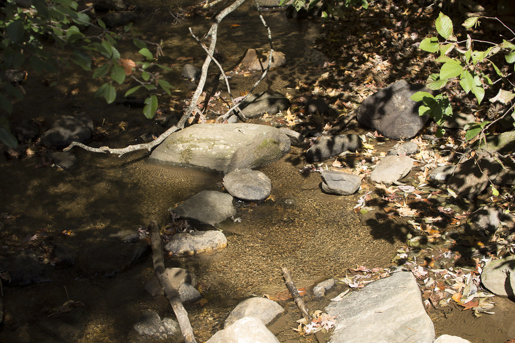 Photo: StephenGA, Public Domain Dedication (CC0) (via Flickr)
- 15.5 mi
- one way
- 4,518 ft
- climb
- 4,856 ft
- high point
- Point to point
- route
Is Appalachian Approach Trail - Georgia open right now?
Closure in the area
There's a closure order in Chattahoochee-Oconee National Forests. It doesn't name Appalachian Approach Trail - Georgia, so check the source for the area it covers (5 listed).
West Cowpen, FS Road 17, Road Maintenance
Agency closure covering Chattahoochee-Oconee National Forests · USFS · Chattahoochee-Oconee National Forests
Bear Creek Road, FS 241, Temporarily Closed
Agency closure covering Chattahoochee-Oconee National Forests · USFS · Chattahoochee-Oconee National Forests
Prescribed fire on Oconee Ranger District at Jasper County
Agency closure covering Chattahoochee-Oconee National Forests · USFS · Chattahoochee-Oconee National Forests
Muskrat Road, FS 218, Temporarily Closed
Agency closure covering Chattahoochee-Oconee National Forests · USFS · Chattahoochee-Oconee National Forests
Flash Flood Awareness
Agency closure covering Chattahoochee-Oconee National Forests · USFS · Chattahoochee-Oconee National Forests
As of · Source: USFS · Chattahoochee-Oconee National Forests. Agencies don't list every closure — check before you go.
The Appalachian Approach Trail in Georgia is a 15.5-mile point-to-point route in the Blue Ridge Ranger District of the Chattahoochee-Oconee National Forests. It rises from a starting elevation of about 3,193 feet to a high point of 4,856 feet, with a total elevation gain of 4,518 feet. The climb is steady, and the trail is natural-surfaced, with biking allowed. The trip is rated hard and takes about 7.5 hours. It is open year-round, and the route is a long, continuous climb rather than a loop, so plan for a full day on foot. Several shorter trails sit close by, including the Mountain Laural Loop Trail, Spring Trail and Creek Trail, all within about half a mile. Cochran Falls, a climbing area, is about 2.5 miles away.
Conditions and forecast on Springer Mountain
Daily highs and lows, wind and the chance of precipitation at the summit and route start for the next 7 days, from the Open-Meteo model.
 Mountain Laural Loop TrailHikingPhoto: Bas van Oorschot, CC BY-SA 3.0 (via Wikimedia Commons)0.2 mi
- Spring TrailHikingPhoto: Bas van Oorschot, CC BY-SA 3.0 (via Wikimedia Commons)0.3 mi
- Creek TrailHikingPhoto: Bas van Oorschot, CC BY-SA 3.0 (via Wikimedia Commons)0.4 mi
 Hike Inn LodgeHikingPhoto: Bas van Oorschot, CC BY-SA 3.0 (via Wikimedia Commons)0.9 mi
- Cochran FallsRock climbing2.5 mi
- Amicalola CreekCanoeing3.3 mi
- Tickanetley CreekCanoeing6.3 mi
 Etowah RiverCanoeingPhoto: Thomson200, CC0 (via Wikimedia Commons)9.5 mi
Source: Roamze catalog (indexable pages within 10 miles, PostGIS distance)
- Spring TrailHiking · Next doorPhoto: Bas van Oorschot, CC BY-SA 3.0 (via Wikimedia Commons)
- Hike Inn LodgeHiking · ~2 min drivePhoto: Bas van Oorschot, CC BY-SA 3.0 (via Wikimedia Commons)
 Appalachian TrailHiking · ~8 min drivePhoto: Thomson20192, Public Domain Dedication (CC0) (via Flickr)
 Anderson CreekHiking · ~6 min drivePhoto: Thomson20192, Public Domain Dedication (CC0) (via Flickr)
- Creek TrailHiking · Next doorPhoto: Bas van Oorschot, CC BY-SA 3.0 (via Wikimedia Commons)
 Jake Mountain TrailHiking · ~12 min drivePhoto: jsnyng, CC BY 2.0 (via Flickr)
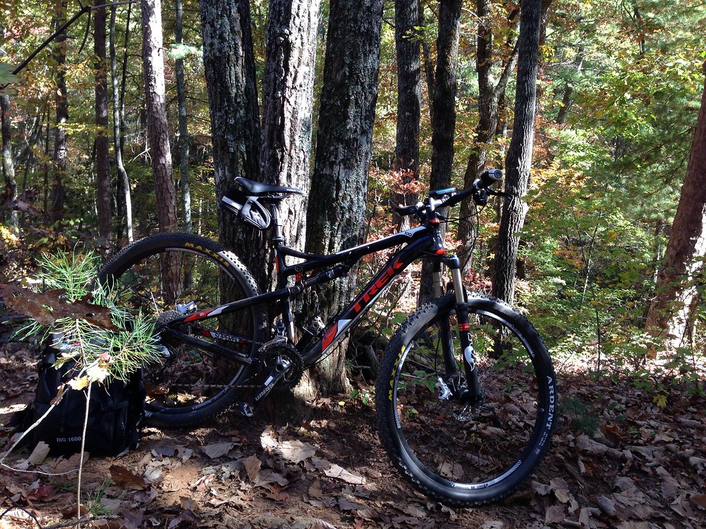 JAKE/BULL CONNECTOR TRAILHiking · ~11 min drivePhoto: jsnyng, CC BY 2.0 (via Flickr)
 FDR-83 Bull Mountain TrailHiking · ~11 min drivePhoto: jsnyng, CC BY 2.0 (via Flickr)
- Fdr-872 Jones Creek Dam TrailHiking · ~11 min drivePhoto: jsnyng, CC BY 2.0 (via Flickr)
- Cochran Creek FallsHiking · ~5 min drive
Also worth it near here
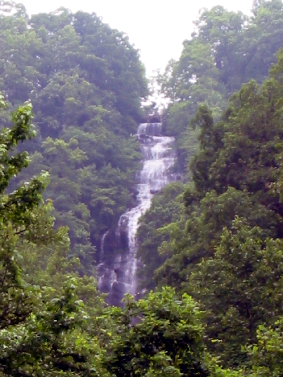 Amicalola FallsWaterfall · ~1 min drivePhoto: Jsfouche, CC BY-SA 3.0 (via Wikimedia Commons)
 Under the HemlockCamping · ~2 min drivePhoto: anonymouse1, CC BY-SA 3.0 (via Wikimedia Commons)
- Cochran FallsRock climbing · ~4 min drive
 Springer MountainSummit · ~10 min drivePhoto: Mark Larson, CC BY-SA 2.0 (via Wikimedia Commons)
Route details
- Distance
- 15.5 mi
- Climbing
- About 4,518 ft
- Summit
- 3,780 ft
- Difficulty
- Hard
- Time
- About 7.5 hours
Season
Season: Year-round.
Questions about this route
How long is the Appalachian Approach Trail - Georgia on Springer Mountain?
About 15.5 mi.
How much elevation gain is on the Appalachian Approach Trail - Georgia?
About 4,518 ft of climbing round trip.
How hard is the Appalachian Approach Trail - Georgia?
It is rated hard.
How long does the Appalachian Approach Trail - Georgia take?
About 7.5 hours round trip.
When is the best time for the Appalachian Approach Trail - Georgia?
Year-round.
