Blood Mountain
 Photo: Thomson200, CC0 (via Wikimedia Commons)
- 4,457 ft
- summit
Is Blood Mountain open right now?
Closure in the area
There's a closure order in Chattahoochee-Oconee National Forests. It doesn't name Blood Mountain, so check the source for the area it covers (6 listed).
West Cowpen, FS Road 17, Road Maintenance
Agency closure covering Chattahoochee-Oconee National Forests · USFS · Chattahoochee-Oconee National Forests
Bear Creek Road, FS 241, Temporarily Closed
Agency closure covering Chattahoochee-Oconee National Forests · USFS · Chattahoochee-Oconee National Forests
Prescribed fire on Oconee Ranger District at Jasper County
Agency closure covering Chattahoochee-Oconee National Forests · USFS · Chattahoochee-Oconee National Forests
Muskrat Road, FS 218, Temporarily Closed
Agency closure covering Chattahoochee-Oconee National Forests · USFS · Chattahoochee-Oconee National Forests
List of trail closures post-Hurricane Helene
Park closure covering Appalachian National Scenic Trail · NPS · Appalachian National Scenic Trail
As of · Source: USFS · Chattahoochee-Oconee National Forests. Agencies don't list every closure — check before you go.
Blood Mountain is a summit of about 4,457 feet in Union County, Georgia, roughly 9.5 miles from Blairsville. It lies within the Blood Mountain Wilderness and along the Appalachian National Scenic Trail, on land that is part of the Blue Ridge Ranger District of the Chattahoochee-Oconee National Forests. Several other destinations sit close by. The Freeman and Byron Herbert Reece hikes both start within about 0.6 miles of the summit, and the big cheese climbing area is just 0.1 miles away. For an overnight stay, Lake Winfield Scott Recreation Area is about 2.6 miles off.
Conditions and forecast
Daily highs and lows, wind and the chance of precipitation at the summit for the next 7 days, from the Open-Meteo model.
- Summit elevation
- 4,457 ft
Elevation from USGS 3D Elevation Program terrain data (about 10 m resolution).
We don't know of a mapped trail or route to the summit of Blood Mountain. Plan the approach with local maps, a guidebook or a local guide, and check conditions before you go.
Questions about Blood Mountain
How tall is Blood Mountain?
4,457 ft (1,358 m).
Is there a trail to the top of Blood Mountain?
We don't know of a mapped trail or route to the summit. Plan the approach with local maps, a guidebook or a local guide.
- Coosa Bald4,271 ft · Georgia1 route3.1 mi away
- Buckeye Knob3,809 ft · Georgia1 route4.8 mi away
 Wildcat Mountain3,779 ft · Georgia1 route5.8 mi awayPhoto: Thomson200, CC0 (via Wikimedia Commons)
- Buck Knob3,540 ft · Georgia1 route6.1 mi away
- West Wildcat Knob3,522 ft · Georgia1 route6.6 mi away
- Akin Mountain3,533 ft · Georgia1 route7.6 mi away
- big cheeseRock climbing0.1 mi
 FreemanHikingPhoto: Pete Seabolt, CC BY 3.0 (via Wikimedia Commons)0.6 mi
- Byron Herbert ReeceHikingPhoto: Pete Seabolt, CC BY 3.0 (via Wikimedia Commons)0.6 mi
 Lake Winfield Scott Recreation AreaCampingPhoto: Recreation.gov (RIDB) / public domain2.6 mi
- Nottely RiverCanoeing3.9 mi
- Preacher's Rock BouldersRock climbing4.9 mi
- Dockery Lake Rec. AreaCamping5 mi
 Toccoa RiverCanoeingPhoto: Thomson200, CC0 (via Wikimedia Commons)8.9 mi
Source: Roamze catalog (indexable pages within 10 miles, PostGIS distance)
 Levelland MountainSummit · ~3 min drivePhoto: Thomson200, CC0 (via Wikimedia Commons)
- Wildcat MountainSummit · ~10 min drivePhoto: Thomson200, CC0 (via Wikimedia Commons)
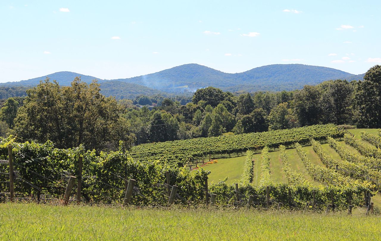 Three Sisters MountainSummit · ~17 min drivePhoto: Thomson200, CC0 (via Wikimedia Commons)
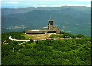 Brasstown BaldSummit · ~20 min drivePhoto: Public domain (via Wikimedia Commons)
 Yonah MountainSummit · ~25 min drivePhoto: Tclo8899, CC BY-SA 3.0 (via Wikimedia Commons)
 Springer MountainSummit · ~28 min drivePhoto: Mark Larson, CC BY-SA 2.0 (via Wikimedia Commons)
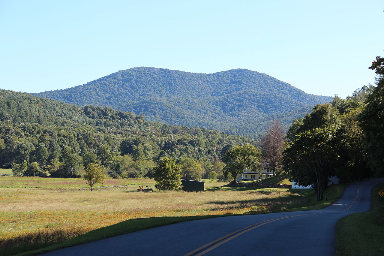 Big John Dick MountainSummit · ~25 min drivePhoto: Thomson200, CC0 (via Wikimedia Commons)
- Wildcat KnobSummit · ~4 min drive
- Coosa BaldSummit · ~5 min drive
- Buckeye KnobSummit · ~8 min drive
Also worth it near here
- FreemanHiking · Next doorPhoto: Pete Seabolt, CC BY 3.0 (via Wikimedia Commons)
 DeSoto FallsWaterfall · ~3 min drivePhoto: Thomsonmg2000, CC0 (via Wikimedia Commons)
 DeSoto Falls CampgroundCamping · ~4 min drivePhoto: Bas van Oorschot, CC BY-SA 3.0 (via Wikimedia Commons)
 Tesnatee Gap TrailRock climbing · ~9 min drivePhoto: Thomsonmg2000, CC0 (via Wikimedia Commons)
