Ball Mountain
- 3,647 ft
- summit
- 1
- way up
Is Ball Mountain open right now?
Closure in the area
There's a closure order in Chattahoochee-Oconee National Forests. It doesn't name Ball Mountain, so check the source for the area it covers (5 listed).
West Cowpen, FS Road 17, Road Maintenance
Agency closure covering Chattahoochee-Oconee National Forests · USFS · Chattahoochee-Oconee National Forests
Bear Creek Road, FS 241, Temporarily Closed
Agency closure covering Chattahoochee-Oconee National Forests · USFS · Chattahoochee-Oconee National Forests
Prescribed fire on Oconee Ranger District at Jasper County
Agency closure covering Chattahoochee-Oconee National Forests · USFS · Chattahoochee-Oconee National Forests
Muskrat Road, FS 218, Temporarily Closed
Agency closure covering Chattahoochee-Oconee National Forests · USFS · Chattahoochee-Oconee National Forests
Flash Flood Awareness
Agency closure covering Chattahoochee-Oconee National Forests · USFS · Chattahoochee-Oconee National Forests
As of · Source: USFS · Chattahoochee-Oconee National Forests. Agencies don't list every closure — check before you go.
Ball Mountain is a summit in the Blue Ridge Ranger District of the Chattahoochee-Oconee National Forests in north Georgia, about 14 miles from the town of Dahlonega. Bull Mountain is about 1.4 miles away. The Appalachian Trail and the Ball Mountain Trail both pass within 2 miles. Cochran Falls, a climbing area, sits about 4 miles off. For an overnight stay, Frank Gross campground is roughly 5 miles away.
Conditions and forecast
Daily highs and lows, wind and the chance of precipitation at the summit and route start for the next 7 days, from the Open-Meteo model.
- Summit elevation
- 3,647 ft
Elevation from USGS 3D Elevation Program terrain data (about 10 m resolution).
Map © Mapbox © OpenStreetMap contributors Questions about Ball Mountain
How tall is Ball Mountain?
3,647 ft (1,112 m).
How many routes go to the summit of Ball Mountain?
One: Ball Mountain Trail.
 Springer Mountain3,780 ft · Georgia1 route0.6 mi awayPhoto: Mark Larson, CC BY-SA 2.0 (via Wikimedia Commons)
- Bull Mountain2,335 ft · Georgia2 routes3.0 mi away
- Greasy Mountain3,412 ft · Georgia2 routes4.5 mi away
- Rhodes Mountain3,398 ft · Georgia1 route12 mi away
- Gregory Knob3,380 ft · Georgia1 route13 mi away
- Payne Knob3,413 ft · Georgia1 route13 mi away
- Bull MountainHiking1.4 mi
 Appalachian TrailHikingPhoto: Thomson20192, Public Domain Dedication (CC0) (via Flickr)1.6 mi
- Ball Mountain TrailHiking1.8 mi
- Cochran FallsRock climbing3.9 mi
- Frank GrossCamping5.4 mi
- Tickanetley CreekCanoeing6.3 mi
 Etowah RiverCanoeingPhoto: Thomson200, CC0 (via Wikimedia Commons)7.6 mi
- Deep Hole Rec. AreaCamping7.9 mi
Source: Roamze catalog (indexable pages within 10 miles, PostGIS distance)
- Springer MountainSummit · Next doorPhoto: Mark Larson, CC BY-SA 2.0 (via Wikimedia Commons)
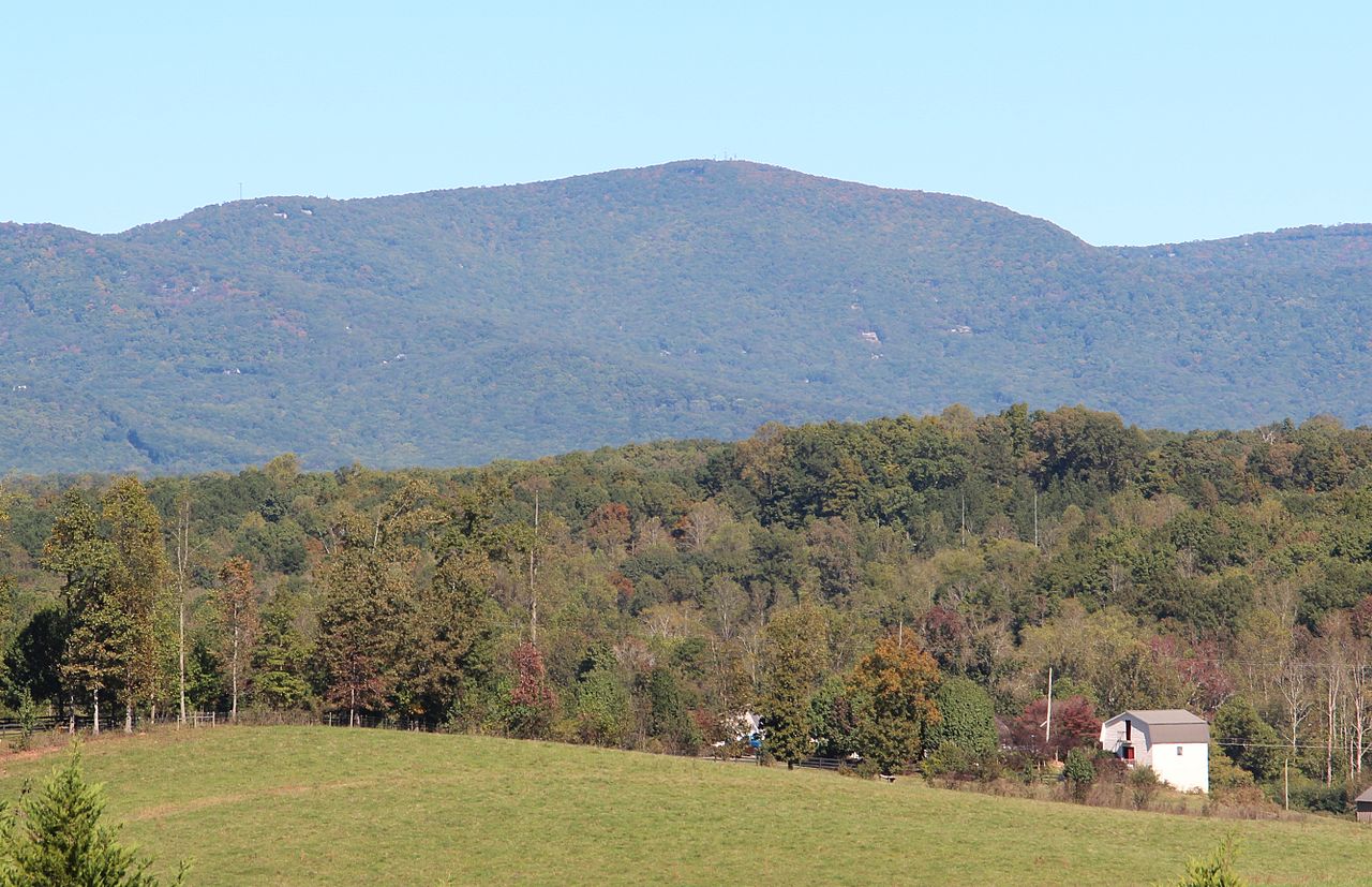 Mount OglethorpeSummit · ~22 min drivePhoto: Thomson200, CC0 (via Wikimedia Commons)
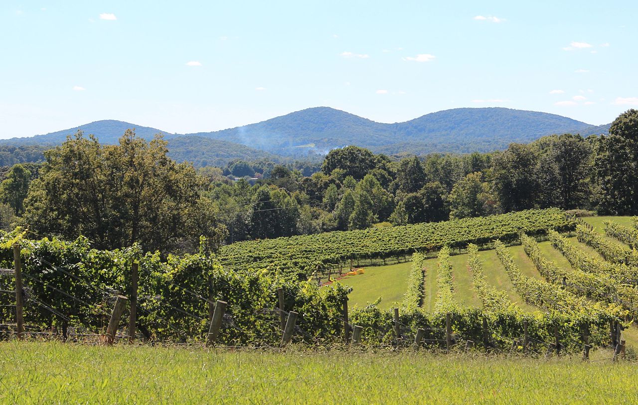 Three Sisters MountainSummit · ~24 min drivePhoto: Thomson200, CC0 (via Wikimedia Commons)
 Sharptop MountainSummit · ~24 min drivePhoto: Thomson M, CC BY 3.0 (via Wikimedia Commons)
 Blood MountainSummit · ~27 min drivePhoto: Thomson200, CC0 (via Wikimedia Commons)
 Talona MountainSummit · ~30 min drivePhoto: Thomson20192, CC0 (via Wikimedia Commons)
 Levelland MountainSummit · ~30 min drivePhoto: Thomson200, CC0 (via Wikimedia Commons)
 Wildcat MountainSummit · ~35 min drivePhoto: Thomson200, CC0 (via Wikimedia Commons)
 Sharp MountainSummit · ~39 min drivePhoto: Thomson200, CC0 (via Wikimedia Commons)
 Yonah MountainSummit · ~46 min drivePhoto: Tclo8899, CC BY-SA 3.0 (via Wikimedia Commons)
Also worth it near here
- Appalachian TrailHiking · ~3 min drivePhoto: Thomson20192, Public Domain Dedication (CC0) (via Flickr)
- Bare Hare TrailMountain biking · ~5 min drive
 Amicalola MountainCamping · ~6 min drivePhoto: Scott Long, CC BY 3.0 (via Wikimedia Commons)
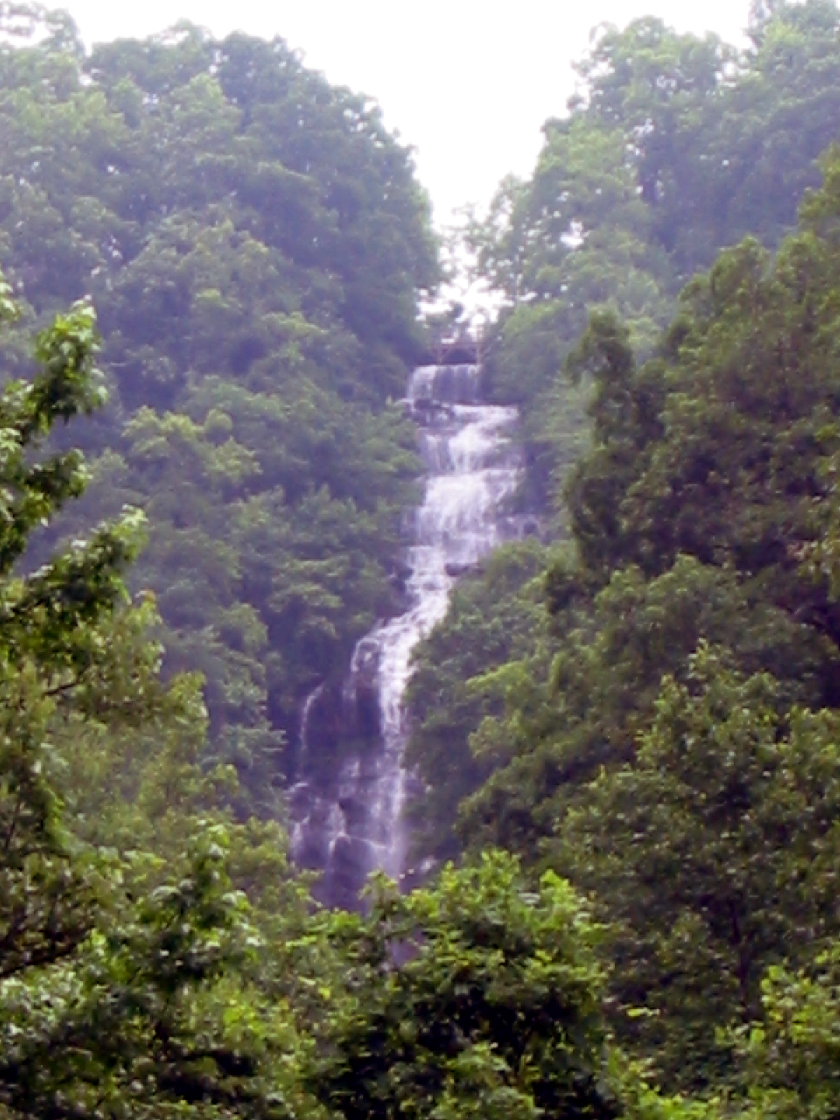 Amicalola FallsWaterfall · ~9 min drivePhoto: Jsfouche, CC BY-SA 3.0 (via Wikimedia Commons)
