Panther Creek
- 6.1 mi
- round trip
- 4,122 ft
- climb
- 3,769 ft
- high point
- Out and back
- route
Is Panther Creek open right now?
Closure in the area
There's a closure order in Chattahoochee-Oconee National Forests. It doesn't name Panther Creek, so check the source for the area it covers (4 listed).
Road Maintenance: West Cowpen Road (FSR 17)
Agency closure covering Chattahoochee-Oconee National Forests · USFS · Chattahoochee-Oconee National Forests
Prescribed fire on Oconee Ranger District at Jasper County
Agency closure covering Chattahoochee-Oconee National Forests · USFS · Chattahoochee-Oconee National Forests
Muskrat Road, FS 218, Temporarily Closed
Agency closure covering Chattahoochee-Oconee National Forests · USFS · Chattahoochee-Oconee National Forests
Flash Flood Awareness
Agency closure covering Chattahoochee-Oconee National Forests · USFS · Chattahoochee-Oconee National Forests
Lake Winfield Scott closed except fishing pier
Agency alert covering Chattahoochee-Oconee National Forests · USFS · Chattahoochee-Oconee National Forests
As of · Source: USFS · Chattahoochee-Oconee National Forests. Agencies don't list every closure — check before you go.
Panther Creek is a hard hike in the Cohutta Wilderness, part of the Conasauga Ranger District of the Chattahoochee-Oconee National Forests in north Georgia. The State Department of Natural Resources manages the land, and the nearest town is Oasis, about 5.6 miles away. The trail is an out-and-back that climbs from about 1,900 feet to roughly 3,770 feet, with a total gain of about 4,122 feet. The steepest stretch comes at about 1.8 miles in, where the grade reaches 38 percent. The route is natural-surface and does not allow bikes or horses. For timing, plan on a full day. The climb is steep and long, and the high point sits well above the low point. Nearby, Rough Ridge and Hickory Ridge are both within about 2 miles. The Jacks River offers river fishing about 2.5 miles away, and Jacks River Fields Campground is about 4.6 miles off.
Keep exploring — more trails worth the drive
 Photo: ChattOconeeNF, CC BY 2.0 (via Flickr)
Tear Britches
~8 min drive
6.44-mile out-and-back trail in Georgia with 473 ft gain and 2,161 ft loss.
Photo: ChattOconeeNF, CC BY 2.0 (via Flickr)Emery Creek Trail
~8 min drive
6.01-mile out-and-back trail in Georgia with 468 ft gain and 3,069 ft loss.
Photo: ChattOconeeNF, CC BY 2.0 (via Flickr)Lake Conasauga
~9 min drive
0.99-mile loop trail around Lake Conasauga in Georgia.
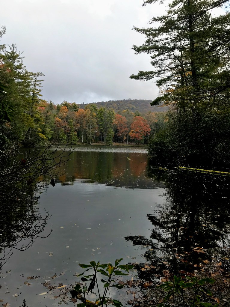 Photo: ChattOconeeNF, CC BY 2.0 (via Flickr)
Grassy Mtn Tower
~10 min drive
3.90-mile out-and-back trail to Grassy Mtn Tower in Georgia, 283 ft gain.
HIKE
Hickory Ridge
~3 min drive
7-mile out-and-back trail in Georgia with 208 ft elevation gain.
HIKE
SYLCO LOOP
~15 min drive
23.02-mile out-and-back trail in Tennessee with 3,605 ft elevation gain
Photo: ChattOconeeNF, CC BY 2.0 (via Flickr)Songbird
~10 min drive
2.74-mile out-and-back trail in Georgia with 389 ft gain
HIKE
Rough Ridge
~2 min drive
9.22-mile out-and-back trail in Georgia with 1,924 ft elevation gain
HIKE
Hickory Creek
~5 min drive
Hickory Creek is a 17.18-mile out-and-back trail in Georgia with 1,824 feet of elevation gain.
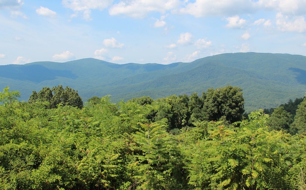 Photo: Thomson20192, Public Domain Dedication (CC0) (via Flickr)
Cohutta Overlook
~15 min drive
0.09-mile lollipop trail with 49 ft gain at Cohutta Overlook in Georgia


