Hiking in Georgia

1,115 spots1 townUpdated weeklyFree to access
View on mapHiking · 200 spots
Featured spots
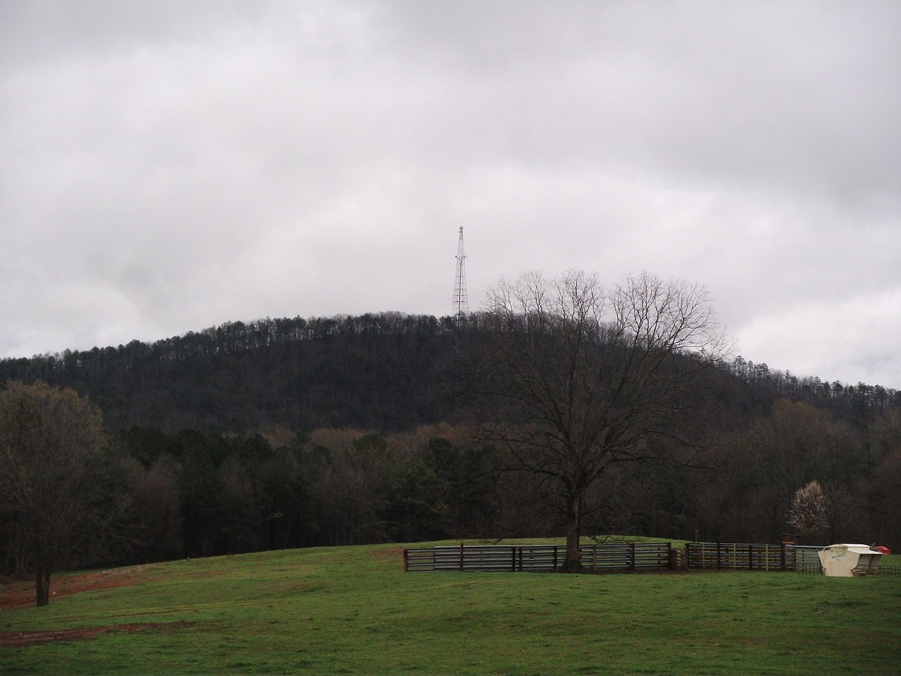
Photo: Thomson200, CC0 (via Wikimedia Commons)Out & backHiking
3 Forks
Georgia
 Photo: ChattOconeeNF, CC BY 2.0 (via Flickr)Out & back
Hiking
3 Forks
Georgia
 Photo: jeffgunn, CC BY 2.0 (via Flickr)Point to point
Hiking
Abandoned Track
Georgia
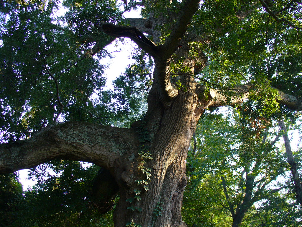 Photo: Texano Nativo, CC BY 2.0 (via Flickr)Out & back
Hiking
Abbotts Bridge - Trail System
Georgia
 Photo: SeeMidTN.com (aka Brent), CC BY 2.0 (via Flickr)Out & back
Hiking
Access Road
Georgia
All spots · 200 of 1,115 spots
 Out & back
Hiking
24 Gun Battery Trail
Georgia
 Out & back
Hiking
5 Lake Trail
Georgia
 Loop
Hiking
800 Loop
Georgia
Out & backHiking
Abandoned Road
Georgia
 Point to point
Hiking
Abandoned Track
Georgia
LoopHiking
Aboothlacoosta Creek Loop
Georgia
 Out & back
Hiking
Access Trail
Georgia
Out & backWildernessHiking
Addis Gap
Georgia
 Out & back
Hiking
Alice Richards Botanical Trail
Georgia
Out & backHiking
Allatoona Pass Battlefield Trail
Georgia
 Out & back
Hiking
Allatoona Path
Georgia
Out & backHiking
Allenbrook - Trail System
Georgia
LoopHiking
Allison Lake Trail
Georgia
LoopHiking
Amadahy Trail
Georgia
Photo: jeffgunn, CC BY 2.0 (via Flickr)Out & backHiking
Amicalola Interpretive Loop
Georgia
Photo: jeffgunn, CC BY 2.0 (via Flickr)Out & backHiking
Amicalola Interpretive Loop
Georgia
 Photo: Thomson20192, Public Domain Dedication (CC0) (via Flickr)Out & back
Hiking
Anderson Creek
Georgia
Out & backHiking
Anderson Creek
Georgia
Out & backHiking
Anderson Creek
Georgia
 Photo: Bas van Oorschot, CC BY-SA 3.0 (via Wikimedia Commons)Out & back
Hiking
Andrews Cove
Georgia
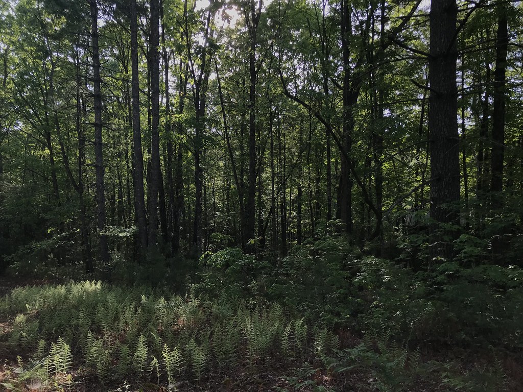 Photo: KW Baker, CC BY-SA 2.0 (via Flickr)Out & back
Hiking
Angel Falls
Georgia
Out & backHiking
Angler Access Trail
Georgia
Photo: Bas van Oorschot, CC BY-SA 3.0 (via Wikimedia Commons)Out & backHiking
Anna Ruby Falls
Georgia
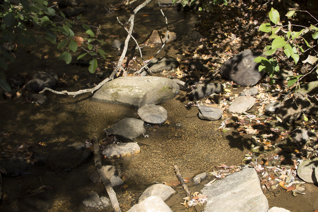 Photo: StephenGA, Public Domain Dedication (CC0) (via Flickr)Point to point
Hiking
Appalachian Approach Trail - Georgia
Georgia
Keep exploring — more trails worth the drive
 Photo: Rob Meeks, CC BY-SA 3.0 (via Wikimedia Commons)
Mountain View Trail
~22 min drive
1.3-mile out-and-back hike in Georgia with 369 ft of elevation gain.
 Photo: Hans J E, CC BY-SA 2.0 (via Flickr)
East Mulberry Equestrian Loop
~43 min drive
4.52-mile out-and-back equestrian trail in Georgia with 1,047 ft gain/loss
Photo: Rob Meeks, CC BY-SA 3.0 (via Wikimedia Commons)Mountain View Trail
~22 min drive
1.7-mile out-and-back hike in Georgia with 316 ft gain and 883 ft max elevation.
HIKE
Yellow Trail
~28 min drive
2.70-mile out-and-back hike in Georgia with 303 ft elevation gain.
 Photo: Rob Meeks, CC BY-SA 3.0 (via Wikimedia Commons)
Meadow Loop Trail
~22 min drive
1.25-mile loop in Georgia with 163 ft elevation gain and loss.
HIKE
Cherokee Trail
~28 min drive
1.88-mile out-and-back trail in Georgia with 998 ft elevation gain.
 Photo: Anthony Knuppel, CC BY 2.0 (via Flickr)
Forest Trail
~22 min drive
1.24-mile out-and-back trail in Georgia with 250 ft elevation gain
HIKE
Cherokee Trail
~29 min drive
4.36-mile out-and-back hike in Georgia with 1,122 ft elevation gain
Photo: Rob Meeks, CC BY-SA 3.0 (via Wikimedia Commons)Woodland Trail
~23 min drive
1.34-mile out-and-back trail in Georgia with 379 ft gain/loss.
HIKE
Cherokee Trail
~29 min drive
2.02-mile out-and-back hike in Georgia with 1,346 ft elevation gain
 Photo: Rob Meeks, CC BY-SA 3.0 (via Wikimedia Commons)
Mountain Top
~23 min drive
1.08-mile out-and-back trail in Georgia with 159 ft elevation gain
Photo: Anthony Knuppel, CC BY 2.0 (via Flickr)purple mark trail
~23 min drive
1.14-mile out-and-back trail in Georgia with 210 ft elevation gain
Also worth it near here