Yellow Trail
- 2.7 mi
- round trip
- 494 ft
- climb
- 683 ft
- high point
- Out and back
- route
- Feb–May, Sep–Dec
- best months
Yellow Trail is a 2.7-mile hike in Hard Labor Creek State Park in Georgia, managed by the State Department of Natural Resources. The trail is an out-and-back route that starts and ends at about 674 feet, with a high point of 683 feet and a total climb of 494 feet over the round trip. The steepest stretch comes at about 1.6 miles in, with a grade of 9 percent. Spring and fall are the most comfortable times to go. Typical averages from a nearby weather station in Covington show October highs around 73°F with lows near 53°F, and April highs around 74°F. Summer runs hotter, with July highs near 89°F. Several other trails sit close by. Brantley Nature Trail is about 0.9 miles away and Beaverpond Nature Trail about 1.1 miles. Beach Trail is roughly 1.4 miles off. Paddlers can head to Big Sandy Creek, about 5 miles away.
Best time to go · Feb–May, Sep–Dec
Best time to visit Yellow Trail
Best months: February–May and September–December. Best months have typical highs of 55–85 °F, lows of 30 °F or warmer (32 °F where the station doesn't record snow), at most one snowy day and no more than 12 wet days.
Jan
52° / 34°
9 wet
Feb
57° / 37°
8 wet
Mar
65° / 43°
9 wet
Apr
74° / 50°
8 wet
May
81° / 59°
8 wet
Jun
87° / 67°
9 wet
Jul
89° / 71°
10 wet
Aug
88° / 70°
9 wet
Sep
84° / 64°
7 wet
Oct
73° / 53°
6 wet
Nov
63° / 41°
7 wet
Dec
56° / 36°
8 wet
Typical high / low (°F) and days with rain or snow, 1991–2020. Measured at Covington, GA, 13.7 mi away at 769 ft. Source: NOAA NCEI U.S. Climate Normals 1991–2020.
Keep exploring — more trails worth the drive
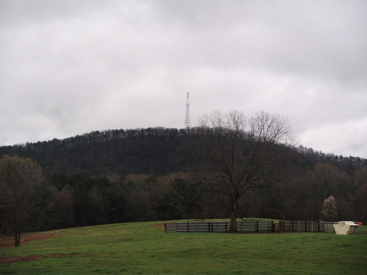
 Photo: Wmw1490, CC BY-SA 4.0 (via Wikimedia Commons)
High Shoals Park Loop
~23 min drive
Easy 0.30-mile loop through High Shoals Park in Georgia.
HIKE
Falling Creek Trail
~35 min drive
4.94-mile loop in Georgia with 544 ft elevation gain/loss.
 Photo: Katja Schulz from Washington, D. C., USA, CC BY 2.0 (via Wikimedia Commons)
Orange Trail
~37 min drive
0.72-mile out-and-back hike in Georgia with 177 ft of elevation gain.
HIKE
Work Center Trail
~37 min drive
4.78-mile loop trail in Georgia with 336 ft elevation gain.
 Photo: treegrow, CC BY 2.0 (via Flickr)
White Trail
~37 min drive
2.94-mile out-and-back trail in Georgia with 667 ft elevation gain
Photo: treegrow, CC BY 2.0 (via Flickr)White Trail
~37 min drive
1.18-mile out-and-back hike in Georgia with 381 ft elevation gain
Photo: treegrow, CC BY 2.0 (via Flickr)White Trail
~38 min drive
0.92-mile out-and-back trail in Georgia with 160 ft elevation gain.
 Photo: TranceMist, CC BY 2.0 (via Flickr)
Inner Loop
~38 min drive
2.02-mile out-and-back trail in Georgia with 871 ft elevation gain
Photo: TranceMist, CC BY 2.0 (via Flickr)Inner Loop
~38 min drive
0.92-mile out-and-back trail in Georgia with 235 ft of elevation gain.
Photo: TranceMist, CC BY 2.0 (via Flickr)Inner Loop
~38 min drive
0.82-mile out-and-back trail in Georgia with 251 ft elevation gain.
Also worth it near here


Map and trail data © OpenStreetMap contributors
