Amadahy Trail
- 3.7 mi
- loop
- 156 ft
- climb
- 1,253 ft
- high point
- Loop
- route
- Feb–May, Sep–Nov
- best months
Amadahy Trail is a 3.7-mile loop in Georgia's Coosawattee-Carters Lake Wildlife Management Area, managed by the State Department of Natural Resources. The trail rises from about 1,078 feet to about 1,253 feet, with a total elevation gain of 156 feet, and is rated easy. The route is a loop, and the steepest stretch comes at about 0.49 miles in, with a 15% grade. Spring and fall are the most comfortable times to go. Typical averages from a nearby weather station in Chatsworth show October highs around 74°F with lows near 48°F, and April highs around 72°F. That station sits about 540 feet lower than the trail's high point, so temperatures on the trail run cooler. Bikes are allowed on the trail. Woodring Day Use Area Shelter is about a mile away, and Talking Rock Nature Trail is about 1.7 miles off. Northbank Day Use Area Shelter and Damsite Day Use Area Shelter are both within about 2 miles.
Best time to go · Feb–May, Sep–Nov
Best time to visit Amadahy Trail
Best months: February–May and September–November. Best months have typical highs of 55–85 °F, lows of 30 °F or warmer (32 °F where the station doesn't record snow), at most one snowy day and no more than 12 wet days.
Jan
51° / 30°
11 wet
Feb
55° / 33°
11 wet
Mar
63° / 40°
11 wet
Apr
72° / 47°
10 wet
May
79° / 56°
10 wet
Jun
86° / 64°
11 wet
Jul
89° / 68°
11 wet
Aug
89° / 67°
10 wet
Sep
84° / 60°
8 wet
Oct
74° / 48°
8 wet
Nov
62° / 38°
9 wet
Dec
53° / 33°
11 wet
Typical high / low (°F) and days with rain or snow, 1991–2020. Measured at Chatsworth 2, GA, 11 mi away at 710 ft. The station sits about 500 ft lower than this place, so expect it a little cooler here. This station doesn't record snowfall. Source: NOAA NCEI U.S. Climate Normals 1991–2020.
Keep exploring — more trails worth the drive
 Photo: TranceMist, CC BY 2.0 (via Flickr)
Goldmine Creek Trail
~15 min drive
1.0-mile out-and-back trail in Georgia with 227 ft elevation gain
 Photo: ChattOconeeNF, CC BY 2.0 (via Flickr)
Emery Creek Trail
~27 min drive
6.01-mile out-and-back trail in Georgia with 468 ft gain and 3,069 ft loss.
Photo: ChattOconeeNF, CC BY 2.0 (via Flickr)Tear Britches
~27 min drive
6.44-mile out-and-back trail in Georgia with 473 ft gain and 2,161 ft loss.
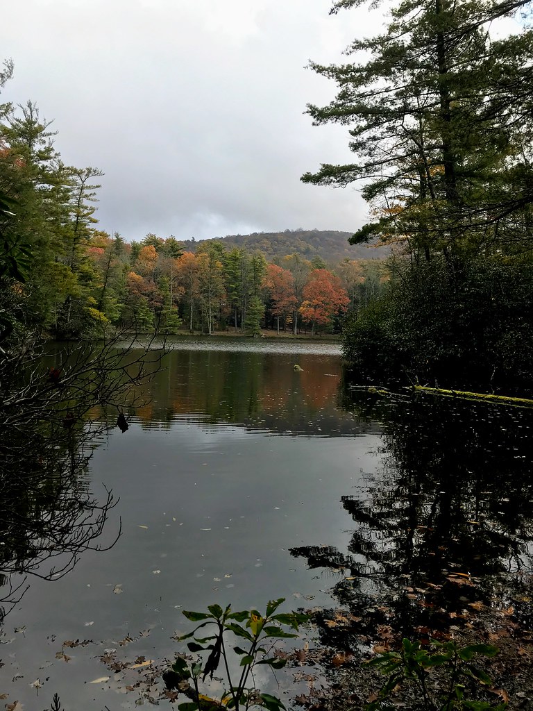 Photo: ChattOconeeNF, CC BY 2.0 (via Flickr)
Grassy Mtn Tower
~27 min drive
3.90-mile out-and-back trail to Grassy Mtn Tower in Georgia, 283 ft gain.
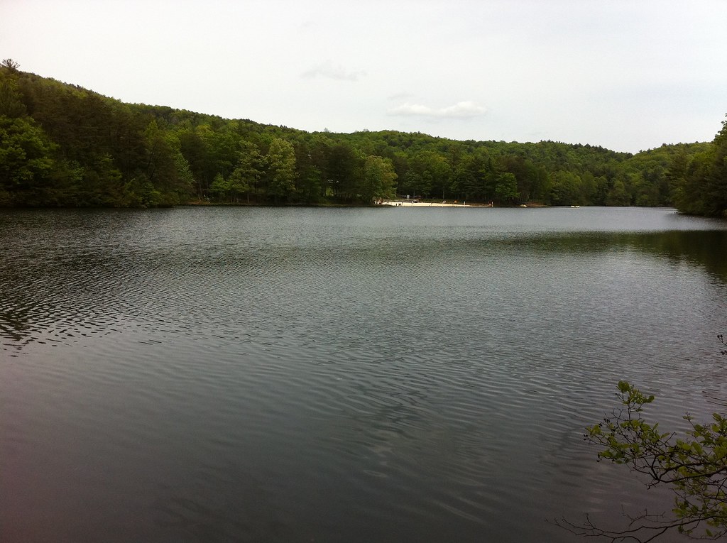 Photo: TranceMist, CC BY 2.0 (via Flickr)
Lake Trail
~16 min drive
1.07-mile loop trail in Georgia with 368 ft elevation gain.
HIKE
Rock Creek
~12 min drive
7.26-mile out-and-back trail in Georgia with 3,712 ft elevation gain/loss
Photo: TranceMist, CC BY 2.0 (via Flickr)Gahuti
~16 min drive
7.87-mile loop in Georgia with 1,614 ft gain
Photo: TranceMist, CC BY 2.0 (via Flickr)Big Rock Trail
~16 min drive
Short point-to-point Georgia trail leading to a distinctive rock formation.
HIKE
Milma Creek
~25 min drive
7.34-mile out-and-back trail in Georgia with 2,636 ft elevation gain and loss.
HIKE
Bear Creek
~24 min drive
6.74-mile loop in Georgia with 1,753 ft elevation gain.

Map and trail data © OpenStreetMap contributors
