Baldy Peak
- 5,779 ft
- summit
- 1
- way up
Is Baldy Peak open right now?
No closures listed
The Forest Service lists no closures for Six Rivers National Forest.
As of · Source: USFS · Six Rivers National Forest. Agencies don't list every closure — check before you go.
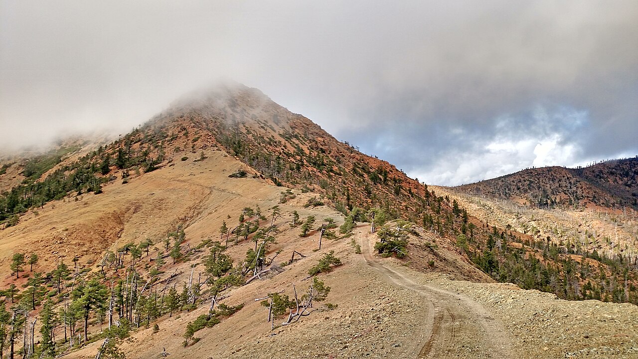
Baldy Peak is a summit in the Siskiyou Wilderness, part of the Gasquet Ranger District of Six Rivers National Forest in northwestern California. The nearest town is Gasquet, about 17 miles away. The closest neighbor is the Bear Wallow hike, about half a mile off. Harrington Creek, a canoeing spot, is roughly 1.4 miles away, and the West Fork Clear Creek hike is about 3 miles out. For an overnight base, Bear Basin Lookout and Cabin lies about 9 miles away.
Conditions and forecast
Daily highs and lows, wind and the chance of precipitation at the summit and route start for the next 7 days, from the Open-Meteo model.
- Summit elevation
- 5,779 ft
Elevation from USGS 3D Elevation Program terrain data (about 10 m resolution).
Map © Mapbox © OpenStreetMap contributors Questions about Baldy Peak
How tall is Baldy Peak?
5,779 ft (1,761 m).
How many routes go to the summit of Baldy Peak?
One: South Kelsey National Recreation Trail.
- Sanger Peak5,863 ft · California1 route17 mi away
- Cold Spring Mountain3,729 ft · California1 route18 mi away
- Pigeon Roost6,549 ft · California1 route24 mi away
- Medicine Mountain6,831 ft · California1 route24 mi away
- Marble Mountain6,980 ft · California2 routes27 mi away
- Tom Payne Peak5,096 ft · California1 route28 mi away
- Bear WallowHiking0.6 mi
- Harrington CreekCanoeing1.4 mi
- West Fork Clear CreekHiking3.2 mi
- Prescott ForkCanoeing3.3 mi
- GunbarrelHiking3.6 mi
- South Fork Smith RiverCanoeing3.9 mi
- Bear Basin Lookout and CabinCamping9.4 mi
- Big FlatCamping9.8 mi
Source: Roamze catalog (indexable pages within 10 miles, PostGIS distance)
 Preston PeakSummit · ~21 min drivePhoto: U.S. Forest Service- Pacific Northwest Region, Public domain (via Wikimedia Commons)
 Mount EmilySummit · ~1h 4m drivePhoto: Visitor7, CC BY-SA 3.0 (via Wikimedia Commons)
 Salmon MountainSummit · ~1h 4m drivePhoto: Mkauffmann, CC BY 3.0 (via Wikimedia Commons)
 Pearsoll PeakSummit · ~1h 15m drivePhoto: Forest Service, Public domain (via Wikimedia Commons)
 Bear MountainSummit · ~15 min drivePhoto: Miguel Vieira from Walnut Creek, CA, USA, CC BY 2.0 (via Wikimedia Commons)
 Russian PeakSummit · ~1h 23m drivePhoto: Mkauffmann, CC BY 3.0 (via Wikimedia Commons)
- Sanger PeakSummit · ~30 min drive
- Cold Spring MountainSummit · ~30 min drive
- Medicine MountainSummit · ~41 min drive
- Marble MountainSummit · ~47 min drive

