Shepherd Pack
- 2.7 mi
- round trip
- 700 ft
- climb
- 6,418 ft
- high point
- Out and back
- route
- Jun–Oct
- best months
Is Shepherd Pack open right now?
Alert in the area
The Forest Service lists 3 alerts for Inyo National Forest.
Help Halt Golden Mussel Invasion
Agency alert covering Inyo National Forest · USFS · Inyo National Forest
Ansel Adams and John Muir Wilderness Campfire Restrictions
Agency alert covering Inyo National Forest · Order 05-04-50-25-04 · USFS · Inyo National Forest
Golden Trout and Hoover Wilderness Campfire Restrictions
Agency alert covering Inyo National Forest · Order 05-04-50-25-05 · USFS · Inyo National Forest
As of · Source: USFS · Inyo National Forest. Agencies don't list every closure — check before you go.
Shepherd Pack is a 2.7-mile out-and-back hike in the Mt. Whitney Ranger District of Inyo National Forest in California. The trail rises about 700 feet from its low point at 5,704 feet to a high of 6,418 feet, and it is rated easy. The Forest Service manages the land, and the route is on natural surface. The trail is open year-round, and the surrounding area has a range of other destinations. Shepherd Pass and Polychrome Peak are both within a mile, and Mount Tyndall is about 1.4 miles away. For an overnight base, Grays Meadows campground sits roughly 2.7 miles off.
Local outfitters
- Big Willi Mountaineering Company14 mi away
- Glacier Lodge28 mi away
Not on Roamze yet. Their page has how to reach them.
- Shepherd PassHiking1 mi
- Polychrome PeakHiking1.1 mi
- Mount TyndallHiking1.4 mi
- Grays MeadowsCamping2.7 mi
- Grays Meadow CgCamping3.2 mi
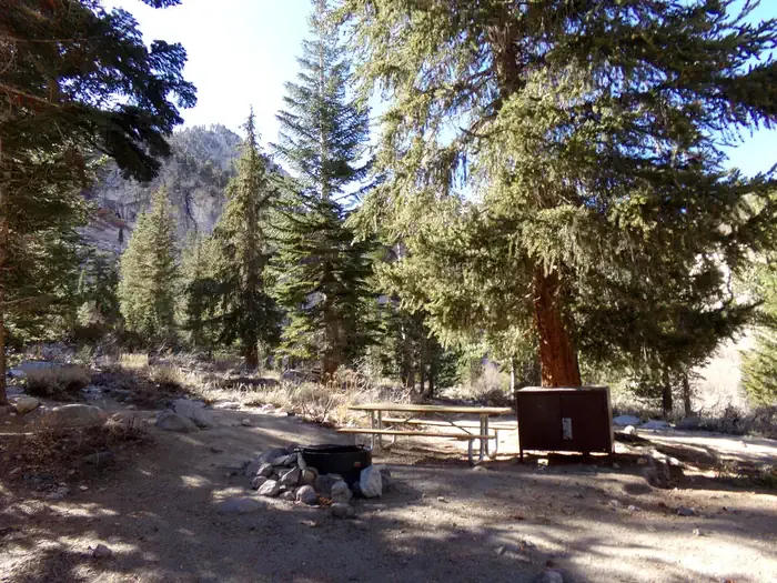 Onion ValleyCampingPhoto: Recreation.gov (RIDB) / public domain5.2 mi
 Mt. TyndallRock climbingPhoto: glenngould, CC BY 2.0 (via Wikimedia Commons)6.9 mi
- Kearsarge Pass to Cedar GroveRock climbing9.4 mi
Source: Roamze catalog (indexable pages within 10 miles, PostGIS distance)
 Junction Pass TrailHiking · ~9 min drivePhoto: Matt Lavin, CC BY-SA 2.0 (via Flickr)
 Kearsarge PassHiking · ~9 min drivePhoto: mjhbower, CC BY-SA 2.0 (via Flickr)
 Matlock LakeHiking · ~10 min drivePhoto: mjhbower, CC BY-SA 2.0 (via Flickr)
- Polychrome PeakHiking · ~2 min drive
 Golden Trout Lake North Spur TrailHiking · ~10 min drivePhoto: Jim Morefield, CC BY-SA 2.0 (via Flickr)
 Harrison Pass TrailHiking · ~15 min drivePhoto: Matt Lavin, CC BY-SA 2.0 (via Flickr)
 Vidette MeadowHiking · ~11 min drivePhoto: Matt Lavin, CC BY-SA 2.0 (via Flickr)
- Mount Tyndall: Approach to 11,800 ftHiking · ~2 min drive
 Dragon Lake TrailHiking · ~14 min drivePhoto: Jeffrey Pang from Berkeley, CA, USA, CC BY 2.0 (via Wikimedia Commons)
- Baxter PassHiking · ~15 min drive
Also worth it near here
 Mount BradleySummit · ~7 min drivePhoto: fredsharples, CC BY 2.0 (via Wikimedia Commons)
- Kearsarge LakesLake fishing · ~11 min drive
 El Segundo ButtressRock climbing · ~17 min drivePhoto: Ken Lund, CC BY-SA 2.0 (via Flickr)
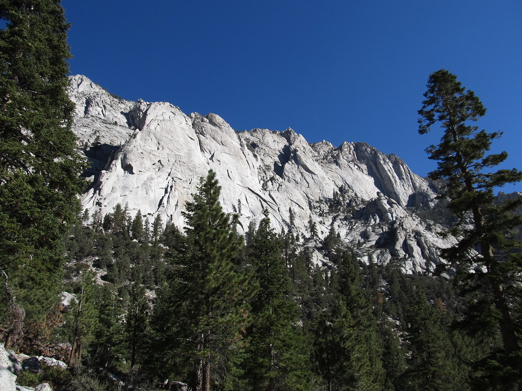 Whitney Trailhead Walk In CampgroundCamping · ~18 min drivePhoto: Ken Lund — CC BY-SA 2.0 (via Flickr)
Best time to visit Shepherd Pack
Best months: June–October. Best months have typical highs of 55–85 °F, lows of 30 °F or warmer (32 °F where the station doesn't record snow), at most one snowy day and no more than 12 wet days.
Jan
39° / 17°
9 wet · 8 snow
Feb
41° / 18°
10 wet · 8 snow
Mar
45° / 22°
10 wet · 8 snow
Apr
50° / 26°
8 wet · 5 snow
May
58° / 33°
5 wet · 2 snow
Jun
68° / 40°
3 wet
Jul
76° / 46°
2 wet
Aug
76° / 44°
2 wet
Sep
70° / 39°
2 wet
Oct
59° / 31°
4 wet · 1 snow
Nov
47° / 23°
6 wet · 4 snow
Dec
37° / 17°
8 wet · 6 snow
Typical high / low (°F) and days with rain or snow, 1991–2020. Measured at Lodgepole, CA, 27.5 mi away at 6,735 ft. Source: NOAA NCEI U.S. Climate Normals 1991–2020.
