Shepherd Pass
- 0.5 mi
- round trip
- 95 ft
- climb
- 6,434 ft
- high point
- Out and back
- route
- Jun–Oct
- best months
Is Shepherd Pass open right now?
Alert in the area
The Forest Service lists 3 alerts for Inyo National Forest.
Help Halt Golden Mussel Invasion
Agency alert covering Inyo National Forest · USFS · Inyo National Forest
Ansel Adams and John Muir Wilderness Campfire Restrictions
Agency alert covering Inyo National Forest · Order 05-04-50-25-04 · USFS · Inyo National Forest
Golden Trout and Hoover Wilderness Campfire Restrictions
Agency alert covering Inyo National Forest · Order 05-04-50-25-05 · USFS · Inyo National Forest
As of · Source: USFS · Inyo National Forest. Agencies don't list every closure — check before you go.
Shepherd Pass is an easy, short out-and-back hike of about half a mile in the Mt. Whitney Ranger District of Inyo National Forest in California. The pass rises from 6,317 feet to 6,434 feet, a gain of 95 feet, and the Forest Service manages the land. The trailhead is named Shepherd Pass Trailhead. Summer is the most comfortable time to go. At the Lodgepole weather station, about 27 miles away at a similar elevation, typical July and August highs reach 76°F with lows in the mid-40s, and snow is absent from June through September. Winter brings highs in the upper 30s and frequent snow days. Polychrome Peak lies just 0.1 mile away, and Mount Tyndall and Caltech Peak are each about 0.8 mile off. For an overnight stay, Grays Meadows campground is about 3 miles away.
Local outfitters
- Big Willi Mountaineering Company15 mi away
- Glacier Lodge29 mi away
Not on Roamze yet. Their page has how to reach them.
- Polychrome PeakHiking0.1 mi
- Mount TyndallHiking0.8 mi
- Caltech PeakHiking0.8 mi
- Grays MeadowsCamping3 mi
- Grays Meadow CgCamping3.8 mi
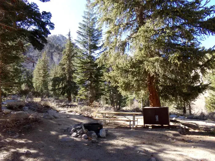 Onion ValleyCampingPhoto: Recreation.gov (RIDB) / public domain4.9 mi
 Mt. TyndallRock climbingPhoto: glenngould, CC BY 2.0 (via Wikimedia Commons)5.9 mi
- Kearsarge Pass to Cedar GroveRock climbing9 mi
Source: Roamze catalog (indexable pages within 10 miles, PostGIS distance)
 Junction Pass TrailHiking · ~7 min drivePhoto: Matt Lavin, CC BY-SA 2.0 (via Flickr)
 Kearsarge PassHiking · ~8 min drivePhoto: mjhbower, CC BY-SA 2.0 (via Flickr)
 Matlock LakeHiking · ~9 min drivePhoto: mjhbower, CC BY-SA 2.0 (via Flickr)
- Mount Tyndall: Approach to 11,800 ftHiking · ~1 min drive
 Golden Trout Lake North Spur TrailHiking · ~10 min drivePhoto: Jim Morefield, CC BY-SA 2.0 (via Flickr)
 Harrison Pass TrailHiking · ~13 min drivePhoto: Matt Lavin, CC BY-SA 2.0 (via Flickr)
 Vidette MeadowHiking · ~9 min drivePhoto: Matt Lavin, CC BY-SA 2.0 (via Flickr)
- Caltech PeakHiking · ~1 min drive
 Junction Meadow Switchbacks - BubbsHiking · ~13 min drivePhoto: Jesse Wagstaff, CC BY 2.0 (via Flickr)
 Shepherd PassHiking · ~14 min drivePhoto: Matt Lavin, CC BY-SA 2.0 (via Flickr)
Also worth it near here
 Mount BradleySummit · ~6 min drivePhoto: fredsharples, CC BY 2.0 (via Wikimedia Commons)
- Kearsarge LakesLake fishing · ~10 min drive
 Mt. RussellRock climbing · ~16 min drivePhoto: Don Graham from Redlands, CA, USA - God bless it!, CC BY-SA 2.0 (via Wikimedia Commons)
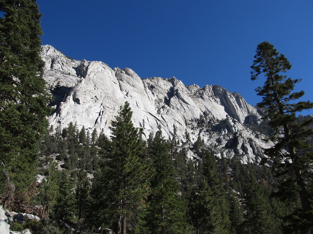 Whitney Trailhead Walk In CampgroundCamping · ~17 min drivePhoto: Ken Lund — CC BY-SA 2.0 (via Flickr)
Best time to visit Shepherd Pass
Best months: June–October. Best months have typical highs of 55–85 °F, lows of 30 °F or warmer (32 °F where the station doesn't record snow), at most one snowy day and no more than 12 wet days.
Jan
39° / 17°
9 wet · 8 snow
Feb
41° / 18°
10 wet · 8 snow
Mar
45° / 22°
10 wet · 8 snow
Apr
50° / 26°
8 wet · 5 snow
May
58° / 33°
5 wet · 2 snow
Jun
68° / 40°
3 wet
Jul
76° / 46°
2 wet
Aug
76° / 44°
2 wet
Sep
70° / 39°
2 wet
Oct
59° / 31°
4 wet · 1 snow
Nov
47° / 23°
6 wet · 4 snow
Dec
37° / 17°
8 wet · 6 snow
Typical high / low (°F) and days with rain or snow, 1991–2020. Measured at Lodgepole, CA, 26.6 mi away at 6,735 ft. Source: NOAA NCEI U.S. Climate Normals 1991–2020.
