Grays Meadows
- 53
- sites
- Jun–Oct
- best months
Is Grays Meadows open right now?
Alert in the area
The Forest Service lists 3 alerts for Inyo National Forest.
Help Halt Golden Mussel Invasion
Agency alert covering Inyo National Forest · USFS · Inyo National Forest
Ansel Adams and John Muir Wilderness Campfire Restrictions
Agency alert covering Inyo National Forest · Order 05-04-50-25-04 · USFS · Inyo National Forest
Golden Trout and Hoover Wilderness Campfire Restrictions
Agency alert covering Inyo National Forest · Order 05-04-50-25-05 · USFS · Inyo National Forest
As of · Source: USFS · Inyo National Forest. Agencies don't list every closure — check before you go.
- 53 sites for RV and tent campingReservable on Recreation.gov
- At 6,895 ft
- John Muir WildernessMt. Whitney Ranger District · Inyo National Forest
Grays Meadows Campground is situated along Independence Creek in the Onion Valley area of the eastern Sierra Nevada Mountains. Its location on the creek and proximity to the rugged John Muir Wilderness make it a popular hub for hikers, anglers, spring skiers and snowboarders. Opening and closing dates may be dependent on weather conditions.
Local outfitters
- Glacier Lodge26 mi away
- Rainbow Pack Outfitters32 mi away
Not on Roamze yet. Their page has how to reach them.
- Gray's Meadow FishermanHiking0.9 mi
- Grays Meadow CgCamping1 mi
- Sardine LakeHiking2.1 mi
- Onion Valley Pack StationHiking2.4 mi
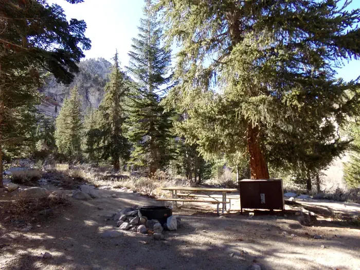 Onion ValleyCampingPhoto: Recreation.gov (RIDB) / public domain2.8 mi
 Shepherd PassRock climbingPhoto: Jesse Wagstaff, CC BY 2.0 (via Flickr)7 mi
- Kearsarge Pass to Cedar GroveRock climbing7.1 mi
 Mt. TyndallRock climbingPhoto: glenngould, CC BY 2.0 (via Wikimedia Commons)8.2 mi
Source: Roamze catalog (indexable pages within 10 miles, PostGIS distance)
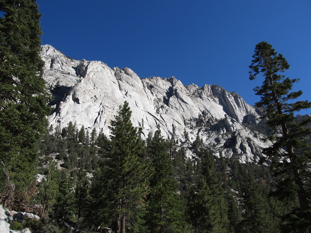 Whitney Trailhead Walk In CampgroundCamping · ~22 min drivePhoto: Ken Lund — CC BY-SA 2.0 (via Flickr)
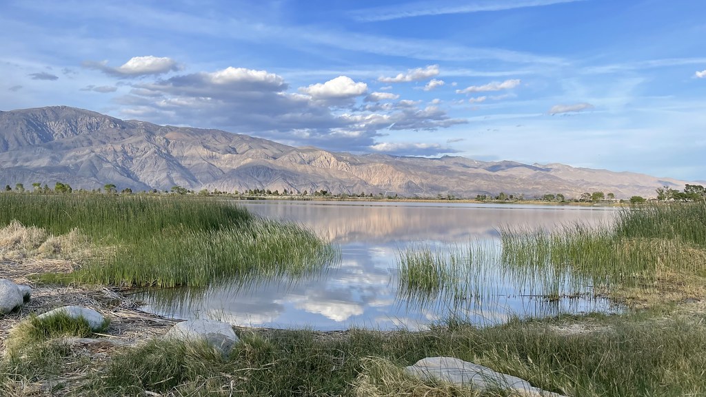 Diaz Lake CampgroundCamping · ~33 min drivePhoto: jfdervin — CC BY-SA 2.0 (via Flickr)
- Canyon View Group SitesCamping · ~35 min drive
- Onion ValleyCamping · ~5 min drive
- Whitney PortalCamping · ~22 min drive
- Upper Grays Meadow CampgroundCamping · ~2 min drive
- Lower Grays Meadow CampgroundCamping · ~2 min drive
- Independence Creek CampgroundCamping · ~9 min drive
- Fort Independence RV ParkCamping · ~10 min drive
- Wheelbarrow CampCamping · ~10 min drive
Best time to visit Grays Meadows
Best months: June–October. Best months have typical highs of 55–85 °F, lows of 30 °F or warmer (32 °F where the station doesn't record snow), at most one snowy day and no more than 12 wet days.
Jan
39° / 17°
9 wet · 8 snow
Feb
41° / 18°
10 wet · 8 snow
Mar
45° / 22°
10 wet · 8 snow
Apr
50° / 26°
8 wet · 5 snow
May
58° / 33°
5 wet · 2 snow
Jun
68° / 40°
3 wet
Jul
76° / 46°
2 wet
Aug
76° / 44°
2 wet
Sep
70° / 39°
2 wet
Oct
59° / 31°
4 wet · 1 snow
Nov
47° / 23°
6 wet · 4 snow
Dec
37° / 17°
8 wet · 6 snow
Typical high / low (°F) and days with rain or snow, 1991–2020. Measured at Lodgepole, CA, 26.8 mi away at 6,735 ft. Source: NOAA NCEI U.S. Climate Normals 1991–2020.


Grays Meadows
53 sites for RV and tent camping
