Whitney Trailhead Walk In Campground
Campground
Campground · < 0.1 mi from the trail
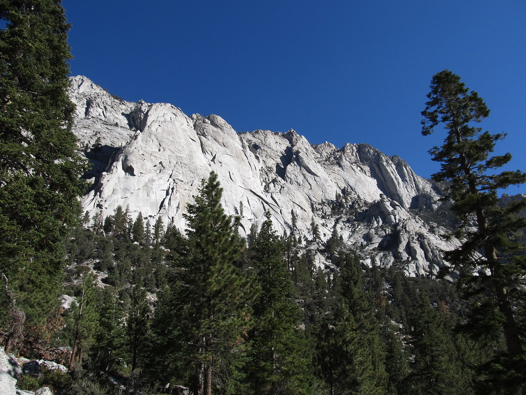 Photo: Ken Lund — CC BY-SA 2.0 (via Flickr)
Alert in the area
The Forest Service lists 3 alerts for Inyo National Forest.
Help Halt Golden Mussel Invasion
Agency alert covering Inyo National Forest · USFS · Inyo National Forest
Ansel Adams and John Muir Wilderness Campfire Restrictions
Agency alert covering Inyo National Forest · Order 05-04-50-25-04 · USFS · Inyo National Forest
Golden Trout and Hoover Wilderness Campfire Restrictions
Agency alert covering Inyo National Forest · Order 05-04-50-25-05 · USFS · Inyo National Forest
As of · Source: USFS · Inyo National Forest. Agencies don't list every closure — check before you go.
Whitney Trailhead Walk In Campground sits in the Mt. Whitney Ranger District of Inyo National Forest in California, about a tenth of a mile from Mount Whitney. The Forest Service manages the land, and the site is a walk-in campsite with vault toilets. Summer is the most comfortable time to visit. At the Lodgepole weather station, about 27 miles away, July and August typically average highs of 76°F and lows in the mid-40s, with only about two wet days a month. That station sits roughly 1,600 feet lower than the campground, so temperatures here run cooler. Winter brings snow on eight or more days a month from December through March. Lone Pine Group Campground is about 0.4 miles away, and Lone Pine campground is about 3 miles off. Climbers will find Candlelight Buttress and Poolhall Wall within a tenth of a mile.
Whitney Trailhead Walk In Campground
Campground
Whitney Portal Store
Restaurant
Kern Hot Spring
Hot spring
Places © OpenStreetMap contributors
More in Silver CityNot on Roamze yet. Their page has how to reach them.
 Mount WhitneyHikingPhoto: daveynin — CC BY 2.0 (via Flickr)0.1 mi
 Mount CarillonHikingPhoto: Seth Tisue, CC BY-SA 2.0 (via Flickr)0.1 miMount YoungHikingPhoto: Seth Tisue, CC BY-SA 2.0 (via Flickr)0.1 mi
Source: Roamze catalog (indexable pages within 10 miles, PostGIS distance)
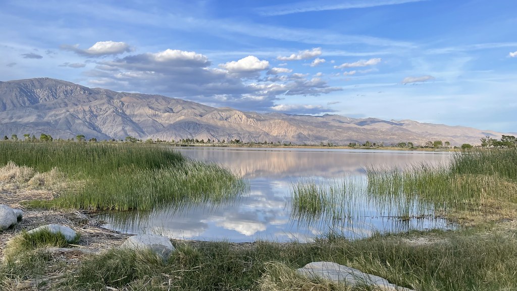 Diaz Lake CampgroundCamping · ~18 min drivePhoto: jfdervin — CC BY-SA 2.0 (via Flickr)
 Bearpaw Meadow High Sierra CampCamping · ~37 min drivePhoto: Eeekster (talk · contribs), CC BY 3.0 (via Wikimedia Commons)
Also worth it near here
Best months: June–October. Best months have typical highs of 55–85 °F, lows of 30 °F or warmer (32 °F where the station doesn't record snow), at most one snowy day and no more than 12 wet days.
Jan
39° / 17°
9 wet · 8 snow
Feb
41° / 18°
10 wet · 8 snow
Mar
45° / 22°
10 wet · 8 snow
Apr
50° / 26°
8 wet · 5 snow
May
58° / 33°
5 wet · 2 snow
Jun
68° / 40°
3 wet
Jul
76° / 46°
2 wet
Aug
76° / 44°
2 wet
Sep
70° / 39°
2 wet
Oct
59° / 31°
4 wet · 1 snow
Nov
47° / 23°
6 wet · 4 snow
Dec
37° / 17°
8 wet · 6 snow
Typical high / low (°F) and days with rain or snow, 1991–2020. Measured at Lodgepole, CA, 27.5 mi away at 6,735 ft. The station sits about 1,600 ft lower than this place, so expect it a little cooler here. Source: NOAA NCEI U.S. Climate Normals 1991–2020.


