Mount Bradley
 Photo: fredsharples, CC BY 2.0 (via Wikimedia Commons)
- 13,270 ft
- summit
- National Park Service
- managed by
Is Mount Bradley open right now?
Alert in the area
The Forest Service lists 3 alerts for Inyo National Forest.
Help Halt Golden Mussel Invasion
Agency alert covering Inyo National Forest · USFS · Inyo National Forest
Ansel Adams and John Muir Wilderness Campfire Restrictions
Agency alert covering Inyo National Forest · Order 05-04-50-25-04 · USFS · Inyo National Forest
Golden Trout and Hoover Wilderness Campfire Restrictions
Agency alert covering Inyo National Forest · Order 05-04-50-25-05 · USFS · Inyo National Forest
As of · Source: USFS · Inyo National Forest. Agencies don't list every closure — check before you go.
Mount Bradley is a summit of about 13,270 feet in Inyo County, California, inside Kings Canyon National Park and the John Muir Wilderness. The land is managed by the National Park Service, and the nearest town is Independence, about 10 miles away. The peak sits within a cluster of protected areas, including the Sequoia-Kings Canyon Wilderness, the Mt. Whitney Ranger District of Inyo National Forest, and the Inyo National Forest itself. The Junction Pass Trail starts less than a mile away, and Vidette Meadow and Center Basin are both about 2 miles off. For an overnight base, Onion Valley campground is about 3 miles away.
Conditions and forecast
Daily highs and lows, wind and the chance of precipitation at the summit for the next 7 days, from the Open-Meteo model.
- Summit elevation
- 13,270 ft
- Land manager
- National Park Service
Elevation from USGS 3D Elevation Program terrain data (about 10 m resolution).
We don't know of a mapped trail or route to the summit of Mount Bradley. Plan the approach with local maps, a guidebook or a local guide, and check conditions before you go.
Questions about Mount Bradley
How tall is Mount Bradley?
13,270 ft (4,045 m).
Is there a trail to the top of Mount Bradley?
We don't know of a mapped trail or route to the summit. Plan the approach with local maps, a guidebook or a local guide.
 University Peak13,591 ft · California1 route1.9 mi awayPhoto: Mel, CC BY-SA 2.0 (via Wikimedia Commons)
 Caltech Peak13,795 ft · California1 route4.0 mi awayPhoto: Dcrjsr, CC BY 3.0 (via Wikimedia Commons)
 Mount Gould12,981 ft · California1 route4.2 mi awayPhoto: Justin, CC BY-SA 2.0 (via Wikimedia Commons)
 Mount Tyndall14,000 ft · California1 route5.0 mi awayPhoto: Self, CC BY 3.0 (via Wikimedia Commons)
 Diamond Peak13,116 ft · California1 route7.3 mi awayPhoto: Edward Rice, CC BY-SA 2.0 (via Wikimedia Commons)
- Acrodectes Peak13,176 ft · California1 route9.3 mi away
 Junction Pass TrailHikingPhoto: Matt Lavin, CC BY-SA 2.0 (via Flickr)0.9 mi
 Vidette MeadowHikingPhoto: Matt Lavin, CC BY-SA 2.0 (via Flickr)2.1 mi
- Center BasinHiking2.1 mi
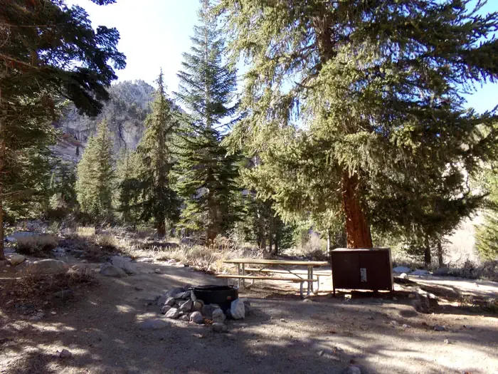 Onion ValleyCampingPhoto: Recreation.gov (RIDB) / public domain3.2 mi
- Grays MeadowsCamping3.7 mi
 Shepherd PassRock climbingPhoto: Jesse Wagstaff, CC BY 2.0 (via Flickr)3.8 mi
- Grays Meadow CgCamping4.7 mi
 Mt. TyndallRock climbingPhoto: glenngould, CC BY 2.0 (via Wikimedia Commons)5 mi
Source: Roamze catalog (indexable pages within 10 miles, PostGIS distance)
 Center PeakSummit · ~2 min drivePhoto: Will Keightley, CC BY-SA 2.0 (via Wikimedia Commons)
- University PeakSummit · ~3 min drivePhoto: Mel, CC BY-SA 2.0 (via Wikimedia Commons)
 Mount KeithSummit · ~3 min drivePhoto: William Keith, Public domain (via Wikimedia Commons)
 Junction PeakSummit · ~5 min drivePhoto: Ansel Adams, Public domain (via Wikimedia Commons)
 Mount StanfordSummit · ~6 min drivePhoto: Justin, CC BY 2.0 (via Wikimedia Commons)
- Caltech PeakSummit · ~7 min drivePhoto: Dcrjsr, CC BY 3.0 (via Wikimedia Commons)
 Deerhorn MountainSummit · ~7 min drivePhoto: Tom Hilton, CC BY 2.5 (via Wikimedia Commons)
- Mount GouldSummit · ~7 min drivePhoto: Justin, CC BY-SA 2.0 (via Wikimedia Commons)
- Mount TyndallSummit · ~9 min drivePhoto: Self, CC BY 3.0 (via Wikimedia Commons)
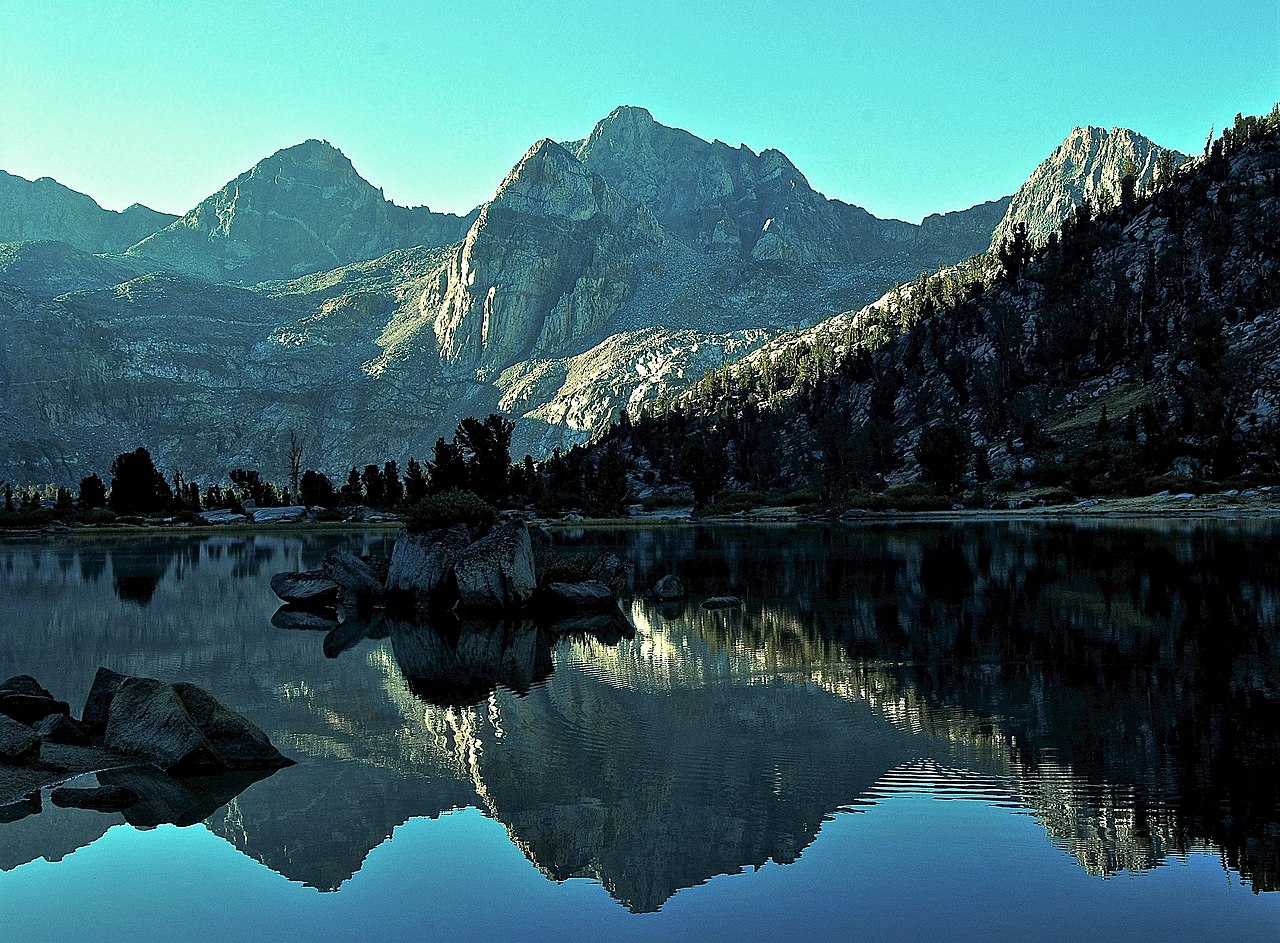 Mount RixfordSummit · ~9 min drivePhoto: David Stone, CC BY-SA 2.0 (via Wikimedia Commons)
