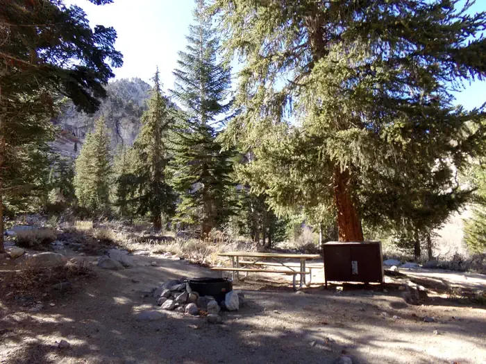
Wheelbarrow Camp
Campground
Campground · 3.1 mi from the trail
 Photo: Matt Lavin, CC BY-SA 2.0 (via Flickr)
No closures listed
The National Park Service lists no closures for Sequoia National Park.
As of · Source: NPS · Sequoia National Park. Agencies don't list every closure — check before you go.
Harrison Pass Trail is a 1.88-mile out-and-back hike in Sequoia National Park, within the Sequoia-Kings Canyon Wilderness and managed by the National Park Service. The route gains about 928 feet in elevation, and the climb is rated hard. The trail covers a total of about 3.8 miles, with the high point at 12,709 feet and the steepest stretch at about 1.5 miles in. The trail starts near 12,000 feet, and the middle of the route is where the most climbing happens, with a grade of about 32% there. The climb is roughly balanced, since the descent mirrors the ascent. The trip takes about two hours to complete. The closest neighbors are Upper Bubbs Creek - Forester Pass North, about 2.1 miles away, and Upper Kern - Tyndall Cutoff and Lake South America, each about 2.5 miles off. For an overnight base, Onion Valley campground sits about 7.5 miles away.
Wheelbarrow Camp
Campground
 If it rainsDavid Fulmer, CC BY 2.0 · Wikimedia Commons
Giant Forest Museum
Museum
Places © OpenStreetMap contributors · Photos: David Fulmer, CC BY 2.0 (commons)
More in Silver CityNot on Roamze yet. Their page has how to reach them.
 Mt. TyndallRock climbingPhoto: glenngould, CC BY 2.0 (via Wikimedia Commons)4 mi
 Onion ValleyCampingPhoto: Recreation.gov (RIDB) / public domain7.5 mi
Source: Roamze catalog (indexable pages within 10 miles, PostGIS distance)
 Shepherd PassHiking · ~5 min drivePhoto: Matt Lavin, CC BY-SA 2.0 (via Flickr)
 Tyndall Ranger StationHiking · ~5 min drivePhoto: ilya_ktsn on Flickr, CC BY 2.0 (via Wikimedia Commons)
 Vidette MeadowHiking · ~7 min drivePhoto: Matt Lavin, CC BY-SA 2.0 (via Flickr)
 Kern KaweahHiking · ~12 min drivePhoto: ilya_ktsn on Flickr, CC BY 2.0 (via Wikimedia Commons)Forester Pass SouthHiking · ~5 min drivePhoto: Matt Lavin, CC BY-SA 2.0 (via Flickr)
 Junction Pass TrailHiking · ~8 min drivePhoto: Matt Lavin, CC BY-SA 2.0 (via Flickr)Wright CreekHiking · ~9 min drivePhoto: ilya_ktsn on Flickr, CC BY 2.0 (via Wikimedia Commons)
 Colby Pass NorthHiking · ~13 min drivePhoto: ilya_ktsn, CC BY 2.0 (via Wikimedia Commons)
 Bubbs CreekHiking · ~10 min drivePhoto: ilya_ktsn, CC BY 2.0 (via Flickr)
 Junction Meadow Switchbacks - BubbsHiking · ~10 min drivePhoto: Jesse Wagstaff, CC BY 2.0 (via Flickr)
Also worth it near here
Map and trail data © OpenStreetMap contributors


