Grays Meadow Cg
- Jun–Oct
- best months
Caution today
Agency alerts are in effect for this area; weather is good · USFS, OpenWeather · checked just now
Is Grays Meadow Cg open right now?
Alert in the area
The Forest Service lists 3 alerts for Inyo National Forest.
Help Halt Golden Mussel Invasion
Agency alert covering Inyo National Forest · USFS · Inyo National Forest
Ansel Adams and John Muir Wilderness Campfire Restrictions
Agency alert covering Inyo National Forest · Order 05-04-50-25-04 · USFS · Inyo National Forest
Golden Trout and Hoover Wilderness Campfire Restrictions
Agency alert covering Inyo National Forest · Order 05-04-50-25-05 · USFS · Inyo National Forest
As of · Source: USFS · Inyo National Forest. Agencies don't list every closure — check before you go.
- At 5,850 ft
- Mt. Whitney Ranger DistrictInyo National Forest
Grays Meadow Campground sits in the Mt. Whitney Ranger District of Inyo National Forest in California, managed by the Forest Service. It is a small, simple campsite with vault toilets, and a fee is charged for stays. Summer is the most comfortable time to visit. Typical averages from the Lodgepole weather station, about 28 miles away, show July and August highs around 76°F with lows in the mid-40s and only a couple of wet days a month. Winter brings highs in the upper 30s and frequent snow days, with January and February each averaging about eight. The Gray's Meadow Fisherman hike starts just 0.2 miles away, and the Grays Meadows campground is about a mile off. Sardine Lake and Onion Valley, both with camping, lie within about 3.5 miles.
Local outfitters
- Glacier Lodge25 mi away
- Rainbow Pack Outfitters32 mi away
Not on Roamze yet. Their page has how to reach them.
- Gray's Meadow FishermanHiking0.2 mi
- Grays MeadowsCamping1 mi
- Sardine LakeHiking1.7 mi
- Onion Valley Pack StationHiking3 mi
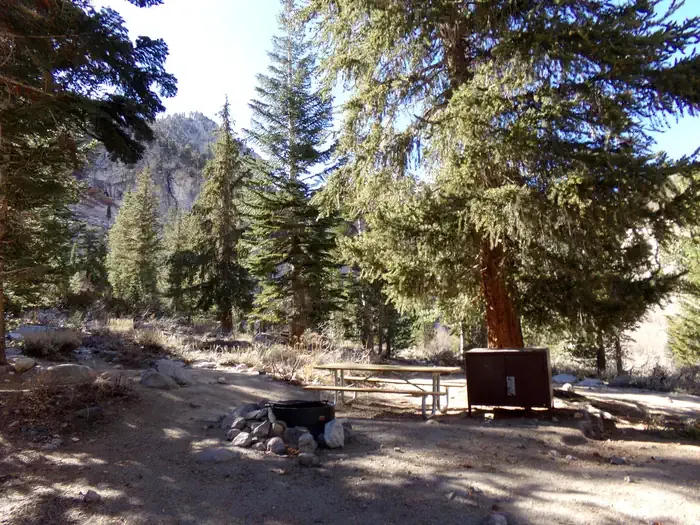 Onion ValleyCampingPhoto: Recreation.gov (RIDB) / public domain3.4 mi
- Kearsarge Pass to Cedar GroveRock climbing7.4 mi
 Shepherd PassRock climbingPhoto: Jesse Wagstaff, CC BY 2.0 (via Flickr)8 mi
 Mt. TyndallRock climbingPhoto: glenngould, CC BY 2.0 (via Wikimedia Commons)9.1 mi
Source: Roamze catalog (indexable pages within 10 miles, PostGIS distance)
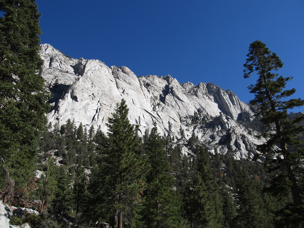 Whitney Trailhead Walk In CampgroundCamping · ~23 min drivePhoto: Ken Lund — CC BY-SA 2.0 (via Flickr)
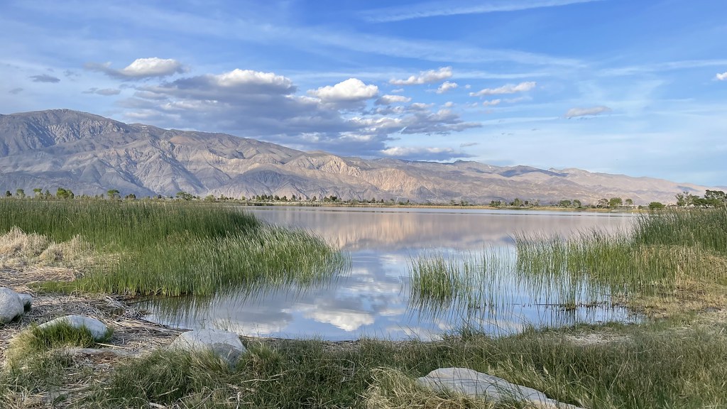 Diaz Lake CampgroundCamping · ~34 min drivePhoto: jfdervin — CC BY-SA 2.0 (via Flickr)
- Canyon View Group SitesCamping · ~36 min drive
- Onion ValleyCamping · ~6 min drive
- Whitney PortalCamping · ~23 min drive
- Upper Grays Meadow CampgroundCamping · Next door
- Grays MeadowsCamping · ~2 min drive
- Independence Creek CampgroundCamping · ~8 min drive
- Fort Independence RV ParkCamping · ~8 min drive
- Wheelbarrow CampCamping · ~12 min drive
Best time to visit Grays Meadow Cg
Best months: June–October. Best months have typical highs of 55–85 °F, lows of 30 °F or warmer (32 °F where the station doesn't record snow), at most one snowy day and no more than 12 wet days.
Jan
39° / 17°
9 wet · 8 snow
Feb
41° / 18°
10 wet · 8 snow
Mar
45° / 22°
10 wet · 8 snow
Apr
50° / 26°
8 wet · 5 snow
May
58° / 33°
5 wet · 2 snow
Jun
68° / 40°
3 wet
Jul
76° / 46°
2 wet
Aug
76° / 44°
2 wet
Sep
70° / 39°
2 wet
Oct
59° / 31°
4 wet · 1 snow
Nov
47° / 23°
6 wet · 4 snow
Dec
37° / 17°
8 wet · 6 snow
Typical high / low (°F) and days with rain or snow, 1991–2020. Measured at Lodgepole, CA, 27.7 mi away at 6,735 ft. The station sits about 900 ft higher than this place, so expect it a little warmer here. Source: NOAA NCEI U.S. Climate Normals 1991–2020.


Grays Meadow Cg
Book on Recreation.gov
