Casa Vieja Cutoff
- 1.0 mi
- round trip
- 271 ft
- climb
- 8,760 ft
- high point
- Out and back
- route
Is CASA VIEJA CUTOFF open right now?
Alert in the area
The Forest Service lists 3 alerts for Inyo National Forest.
Help Halt Golden Mussel Invasion
Agency alert covering Inyo National Forest · USFS · Inyo National Forest
Ansel Adams and John Muir Wilderness Campfire Restrictions
Agency alert covering Inyo National Forest · Order 05-04-50-25-04 · USFS · Inyo National Forest
Golden Trout and Hoover Wilderness Campfire Restrictions
Agency alert covering Inyo National Forest · Order 05-04-50-25-05 · USFS · Inyo National Forest
As of · Source: USFS · Inyo National Forest. Agencies don't list every closure — check before you go.
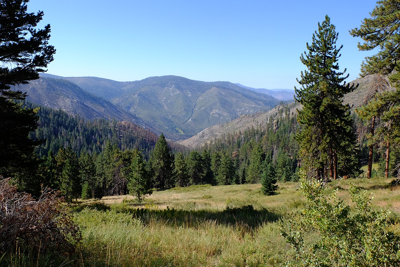
Casa Vieja Cutoff is an easy, 2-mile out-and-back hike in the Golden Trout Wilderness, within the Mt. Whitney Ranger District of Inyo National Forest in California. The Forest Service manages the surrounding land, and the route crosses wilderness boundaries. The trail climbs from about 8,600 feet to roughly 8,760 feet, with a total elevation gain of 271 feet over the course of the round trip. The steepest stretch comes at about 0.62 miles, with a grade of 7%. The hike is short and low-key, making it an easy add-on to a day exploring the surrounding network of trails and mountain biking routes. The start and end point sit at about 8,644 feet, and the whole trip takes roughly an hour. Several other trails lie within a mile. Old Jordan Dennison and the Casa-Big Dry Mdw Cutoff are both mountain biking routes close by, while River Springs Cutoff #1 Trail and River Springs Cutoff #1 offer additional hiking and biking options.
Local outfitters
- Big Willi Mountaineering Company29 mi away
Not on Roamze yet. Their page has how to reach them.
- Old Jordan DennisonMountain biking0.7 mi
- Casa-Big Dry Mdw CutoffMountain biking1 mi
- River Springs Cutoff #1 TrailHiking1 mi
 River Springs Cutoff #1Mountain bikingPhoto: David Bakken, CC BY-SA 2.0 (via Wikimedia Commons)1.1 mi
- Bigdry Mdw-Litldry Mdw CutoffMountain biking1.2 mi
- River Springs Cutoff #2Hiking1.2 mi
- Long CanyonMountain biking1.2 mi
- Snake CreekMountain biking1.3 mi
Source: Roamze catalog (indexable pages within 10 miles, PostGIS distance)
 Blackrock Mountain TrailHiking · ~6 min drivePhoto: Moo.The.Cow, CC BY 2.0 (via Flickr)
- Fish CreekHiking · ~9 min drivePhoto: Moo.The.Cow, CC BY 2.0 (via Flickr)
 Jackass Peak TrailHiking · ~10 min drivePhoto: Moo.The.Cow, CC BY 2.0 (via Flickr)
- River Springs Cutoff #1 TrailHiking · ~2 min drive
- BLACKROCK MOUNTAINHiking · ~6 min drive
 Soda CreekHiking · ~3 min drivePhoto: Paul Mono, CC BY-SA 3.0 (via Wikimedia Commons)
- Snake CreekHiking · ~2 min drive
- Old Jordan DennisonHiking · ~2 min drive
- Black Rock to Kern River TrailHiking · ~3 min drive
- Old Jordan DennisonHiking · ~4 min drive
Also worth it near here
- River Springs Cutoff #1Mountain biking · ~2 min drivePhoto: David Bakken, CC BY-SA 2.0 (via Wikimedia Commons)
 Jordan Hot SpringsHot spring · ~5 min drivePhoto: David Bakken, CC BY-SA 2.0 (via Wikimedia Commons)
 Kern PeakSummit · ~11 min drivePhoto: David Bakken, CC BY-SA 2.0 (via Wikimedia Commons)
- Fish Creek RockRock climbing · ~18 min drive
