Long Canyon
- 3.2 mi
- distance
- 530 ft
- climb
Caution at last check
Agency alerts are in effect for this area; weather is good · USFS, OpenWeather · checked 23 h ago
Is Long Canyon open right now?
Alert in the area
The Forest Service lists 3 alerts for Inyo National Forest.
Help Halt Golden Mussel Invasion
Agency alert covering Inyo National Forest · USFS · Inyo National Forest
Ansel Adams and John Muir Wilderness Campfire Restrictions
Agency alert covering Inyo National Forest · Order 05-04-50-25-04 · USFS · Inyo National Forest
Golden Trout and Hoover Wilderness Campfire Restrictions
Agency alert covering Inyo National Forest · Order 05-04-50-25-05 · USFS · Inyo National Forest
As of · Source: USFS · Inyo National Forest. Agencies don't list every closure — check before you go.
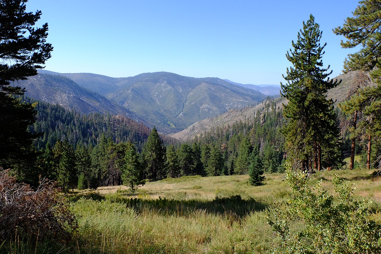
Long Canyon is a mountain biking route in the Golden Trout Wilderness, part of the Mt. Whitney Ranger District of Inyo National Forest in California. The Forest Service manages the land, and the route lies within designated wilderness. The climb runs about 3.2 miles, rising roughly 530 feet from a low point of 8,579 feet to a high of 8,991 feet. That makes it a short, moderate ride with a steady gain rather than a steep climb. Several other routes sit close by. Old Jordan Dennison is about 0.2 miles away, and the Bigdry Mdw-Litldry Mdw Cutoff is about half a mile off. The Casa Vieja Cutoff hike is about 0.7 miles away, and the Casa-Big Dry Mdw Cutoff is about 1.2 miles away.
Keep exploring — more rides worth the drive
 Photo: Wizz4prep, CC BY-SA 4.0 (via Wikimedia Commons)
PCT - Pacific Crest Trail
~26 min drive
5.51-mile Pacific Crest Trail route in California with 1,817 ft elevation gain.
RIDE
Sherman Peak Trail
~31 min drive
2.27-mile moderate out-and-back trail in Nevada rated intermediate / blue square.
RIDE
Cannell Meadow Trail
~31 min drive
0.88-mile easy out-and-back trail in Nevada with 194 ft gain.
Photo: Wizz4prep, CC BY-SA 4.0 (via Wikimedia Commons)Cottonwood Pass
~26 min drive
0.10-mile trail in Cottonwood Lakes Trailhead system, 3 ft elevation gain
RIDE
Cannell Trail
~51 min drive
1.65-mile out-and-back trail in Nevada with 214 ft of elevation gain.
 Photo: Wizz4prep, CC BY-SA 4.0 (via Wikimedia Commons)
Little Cottonwood Creek
~31 min drive
3.47-mile trail in California with 1,092 ft elevation gain at Cottonwood Lakes Trailhead
RIDE
Cannell Trail
~53 min drive
6.31-mile out-and-back trail in Nevada with 733 ft gain.
 Photo: Marty B, CC BY-SA 4.0 (via Wikimedia Commons)
Cottonwood Lakes
~31 min drive
2.93-mile trail in California with 1,026 ft elevation gain
 Photo: David Bakken, CC BY-SA 2.0 (via Wikimedia Commons)
River Springs Cutoff #1
Next door
0.17-mile cutoff trail at Doc Peak, California
Photo: Wizz4prep, CC BY-SA 4.0 (via Wikimedia Commons)Cottonwood Pack Station Cutoff
~27 min drive
0.08-mile trail at Cottonwood Lakes Trailhead with 24 ft elevation gain


Map and trail data © OpenStreetMap contributors
