Irene’s Camp
Campground
Campground · 7.3 mi from the trail
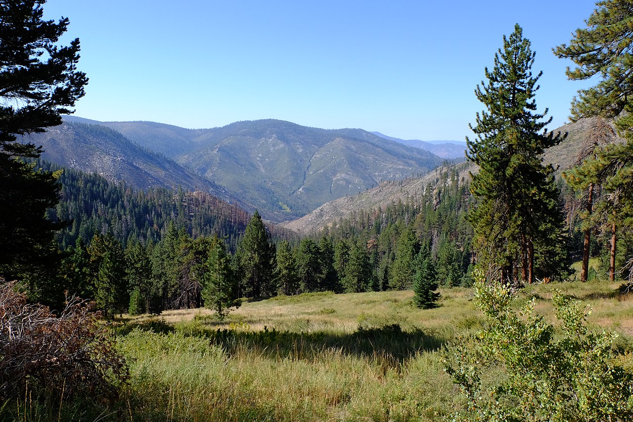 Photo: David Bakken, CC BY-SA 2.0 (via Wikimedia Commons)
Alert in the area
The Forest Service lists 3 alerts for Inyo National Forest.
Help Halt Golden Mussel Invasion
Agency alert covering Inyo National Forest · USFS · Inyo National Forest
Ansel Adams and John Muir Wilderness Campfire Restrictions
Agency alert covering Inyo National Forest · Order 05-04-50-25-04 · USFS · Inyo National Forest
Golden Trout and Hoover Wilderness Campfire Restrictions
Agency alert covering Inyo National Forest · Order 05-04-50-25-05 · USFS · Inyo National Forest
As of · Source: USFS · Inyo National Forest. Agencies don't list every closure — check before you go.
Kern Peak is a summit of about 11,503 feet in Tulare County, California, inside the Golden Trout Wilderness. The peak lies within the Mt. Whitney Ranger District of Inyo National Forest, which the Forest Service manages, and the nearest town is Cartago, about 14.5 miles away. Several trails start close by. Redrock to Templeton Meadow is about 2.1 miles away, Bear Meadow about 2.6 miles, and Cold Meadows about 2.7 miles. The Golden Trout Creek Trail is about 3.6 miles off.
Irene’s Camp
Campground
Kern Hot Spring
Hot spring
Places © OpenStreetMap contributors, Places © Overture Maps Foundation
More in Silver CityDaily highs and lows, wind and the chance of precipitation at the summit and route start for the next 7 days, from the Open-Meteo model.
Elevation from USGS 3D Elevation Program terrain data (about 10 m resolution).
11,503 ft (3,506 m).
One: Kern Peak Trail.


 Bear MeadowHikingPhoto: Brück & Sohn Kunstverlag Meißen, CC0 (via Wikimedia Commons)2.6 miLeft StringerHikingPhoto: Brück & Sohn Kunstverlag Meißen, CC0 (via Wikimedia Commons)2.7 mi
 Volcano MeadowHikingPhoto: danhurt, CC BY-SA 2.0 (via Flickr)3.6 miGolden Trout Creek TrailHikingPhoto: danhurt, CC BY-SA 2.0 (via Flickr)3.6 mi
Source: Roamze catalog (indexable pages within 10 miles, PostGIS distance)
 Olancha PeakSummit · ~17 min drivePhoto: Justin, CC BY 2.0 (via Wikimedia Commons)Mount LangleySummit · ~26 min drivePhoto: Timwryan (talk · contribs), CC BY-SA 4.0 (via Wikimedia Commons)
 Mount FlorenceSummit · ~28 min drivePhoto: MiguelVieira, CC BY 2.0 (via Wikimedia Commons)Mount McAdieSummit · ~29 min drivePhoto: glenngould, CC BY 2.0 (via Wikimedia Commons)
 Needham MountainSummit · ~29 min drivePhoto: Mitch Barrie, CC BY-SA 2.0 (via Wikimedia Commons)
 Mount MuirSummit · ~30 min drivePhoto: Poppy, CC BY-SA 3.0 (via Wikimedia Commons)
 Lone Pine PeakSummit · ~31 min drivePhoto: UFGS Region 5, CC BY 2.0 (via Wikimedia Commons)
 Sawtooth PeakSummit · ~31 min drivePhoto: Erinhayden at English Wikipedia, Public domain (via Wikimedia Commons)
 Mount KaweahSummit · ~32 min drivePhoto: W.L. Huber, Public domain (via Wikimedia Commons)
 Mount WhitneySummit · ~32 min drivePhoto: Geographer (talk · contribs), CC BY 1.0 (via Wikimedia Commons)
Also worth it near here
Bear MeadowHiking · ~4 min drivePhoto: Brück & Sohn Kunstverlag Meißen, CC0 (via Wikimedia Commons) Jordan Hot SpringsHot spring · ~9 min drivePhoto: David Bakken, CC BY-SA 2.0 (via Wikimedia Commons)
 River Springs Cutoff #1Mountain biking · ~10 min drivePhoto: David Bakken, CC BY-SA 2.0 (via Wikimedia Commons)
