River Springs Cutoff #1 Trail
- 0.4 mi
- round trip
- 190 ft
- climb
- 8,617 ft
- high point
- Out and back
- route
Is River Springs Cutoff #1 Trail open right now?
Alert in the area
The Forest Service lists 3 alerts for Inyo National Forest.
Help Halt Golden Mussel Invasion
Agency alert covering Inyo National Forest · USFS · Inyo National Forest
Ansel Adams and John Muir Wilderness Campfire Restrictions
Agency alert covering Inyo National Forest · Order 05-04-50-25-04 · USFS · Inyo National Forest
Golden Trout and Hoover Wilderness Campfire Restrictions
Agency alert covering Inyo National Forest · Order 05-04-50-25-05 · USFS · Inyo National Forest
As of · Source: USFS · Inyo National Forest. Agencies don't list every closure — check before you go.
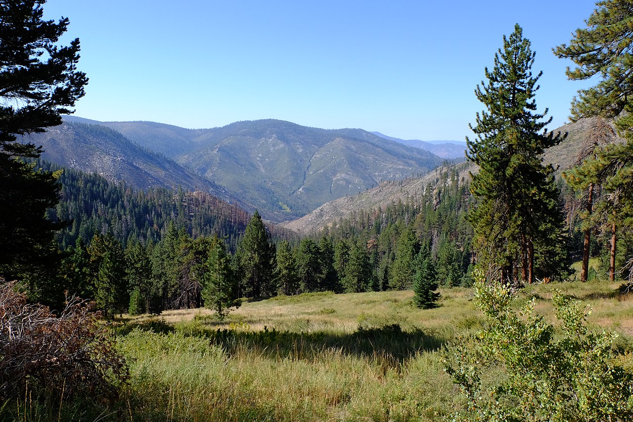
River Springs Cutoff #1 Trail is a short, easy hike in California's Golden Trout Wilderness, within the Mt. Whitney Ranger District of Inyo National Forest. The Forest Service manages the land, and the trail is an out-and-back that starts and ends at about 8,510 feet, with a high point of 8,617 feet. The route is front-loaded, with the steepest stretch at about 0.06 miles from the start, where the grade reaches 8 percent. The total climb is 190 feet, and the round trip is about 0.86 miles. The trip takes roughly half an hour. The trail sits among a cluster of cutoffs and mountain biking routes. River Springs Cutoff #1, a mountain biking route, is about 0.1 mile away, and River Springs Cutoff #2 is about 0.4 mile off. Long Canyon, another mountain biking route, is about 0.6 mile away, and Soda Creek is about 1.9 miles away.
Local outfitters
- Big Willi Mountaineering Company28 mi away
Not on Roamze yet. Their page has how to reach them.
 River Springs Cutoff #1Mountain bikingPhoto: David Bakken, CC BY-SA 2.0 (via Wikimedia Commons)0.1 mi
- River Springs Cutoff #2Hiking0.4 mi
- Long CanyonMountain biking0.6 mi
- CASA VIEJA CUTOFFHiking1 mi
- Old Jordan DennisonMountain biking1.6 mi
 Soda CreekHikingPhoto: Paul Mono, CC BY-SA 3.0 (via Wikimedia Commons)1.9 mi
- Casa-Big Dry Mdw CutoffMountain biking2 mi
- Bigdry Mdw-Litldry Mdw CutoffMountain biking2 mi
Source: Roamze catalog (indexable pages within 10 miles, PostGIS distance)
 Blackrock Mountain TrailHiking · ~8 min drivePhoto: Moo.The.Cow, CC BY 2.0 (via Flickr)
- Soda CreekHiking · ~3 min drivePhoto: Paul Mono, CC BY-SA 3.0 (via Wikimedia Commons)
- River Springs Cutoff #2Hiking · Next door
- Old Jordan DennisonHiking · ~4 min drive
- BLACKROCK MOUNTAINHiking · ~8 min drive
- Long CanyonHiking · ~3 min drive
- CASA VIEJA CUTOFFHiking · ~2 min drive
- Snake CreekHiking · ~4 min drive
- Strawberry Meadows to Monache TrailHiking · ~9 min drive
- River Springs TrailHiking · ~4 min drive
Also worth it near here
- River Springs Cutoff #1Mountain biking · Next doorPhoto: David Bakken, CC BY-SA 2.0 (via Wikimedia Commons)
 Jordan Hot SpringsHot spring · ~5 min drivePhoto: David Bakken, CC BY-SA 2.0 (via Wikimedia Commons)
 Kern PeakSummit · ~10 min drivePhoto: David Bakken, CC BY-SA 2.0 (via Wikimedia Commons)
- Natural BridgeNatural arch · ~19 min drive
Map and trail data © OpenStreetMap contributors
