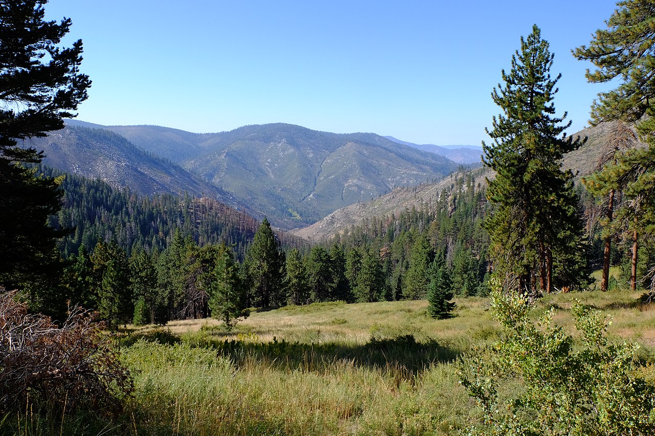
Blackrock Mountain
- 8.5 mi
- round trip
- 3,526 ft
- climb
- 9,261 ft
- high point
- Out and back
- route
Is BLACKROCK MOUNTAIN open right now?
Closure in the area
There's a closure order in Sequoia National Forest. It doesn't name BLACKROCK MOUNTAIN, so check the source for the area it covers (2 listed).
Tule River Glass Container Prohibition Area
Agency closure covering Sequoia National Forest · Order 0513-26-02 · USFS · Sequoia National Forest
Trail of 100 Giants Boardwalk and Area Closure
Agency closure covering Sequoia National Forest · Order 0513-26-03 · USFS · Sequoia National Forest
PUBLIC NUDITY PROHIBITION - Sequoia National Forest
Agency alert covering Sequoia National Forest · Order 0513-26-06 · USFS · Sequoia National Forest
Chico Flat Dispersed Camping Area Prohibition 26-27
Agency alert covering Sequoia National Forest · Order 0513-26-09 · USFS · Sequoia National Forest
Wildlife Alert - BEARS
Agency alert covering Sequoia National Forest · USFS · Sequoia National Forest
As of · Source: USFS · Sequoia National Forest. Agencies don't list every closure — check before you go.
Blackrock Mountain is a demanding out-and-back hike of about 17 miles in the Kern River Ranger District of Sequoia National Forest in California. The route starts at roughly 8,590 feet and climbs to a high point of 9,261 feet, with a total elevation gain and loss of about 3,500 feet across the full trip. The most significant climb comes near the middle of the route, where the grade reaches about 18%, and the climb is steady from start to finish. The trail is an expert-level route, and the Forest Service manages the land. The trip takes about 7.5 hours, so plan on a full day. Several other destinations sit close by. Little Horse Trail starts just 0.1 mile away, and Manzanita Knob Trail is 0.7 mile off. Smith Meadow is about 1.8 miles away, and Troy Meadow Campground is about 8.6 miles away.
Local outfitters
- Big Willi Mountaineering Company32 mi away
Not on Roamze yet. Their page has how to reach them.
- Little Horse TrailHiking0.1 mi
- Manzanita Knob TrailHiking0.7 mi
- Smith MeadowHiking1.8 mi
- Black Rock to Kern RiverMountain biking1.9 mi
- Rattlesnake CreekCanoeing6.7 mi
- Troy Meadow CampgroundCamping8.6 mi
- Fish Creek RockRock climbing8.7 mi
- Fish CreekCamping9.1 mi
Source: Roamze catalog (indexable pages within 10 miles, PostGIS distance)
 Fish CreekHiking · ~6 min drivePhoto: Moo.The.Cow, CC BY 2.0 (via Flickr)
- Blackrock Mountain TrailHiking · ~7 min drivePhoto: Moo.The.Cow, CC BY 2.0 (via Flickr)
 Jackass Peak TrailHiking · ~10 min drivePhoto: Moo.The.Cow, CC BY 2.0 (via Flickr)
- Osa MeadowHiking · ~4 min drive
 Soda CreekHiking · ~9 min drivePhoto: Paul Mono, CC BY-SA 3.0 (via Wikimedia Commons)
- Manzanita Knob TrailHiking · ~1 min drive
- CASA-BIG DRY MDW CUTOFFHiking · ~4 min drive
- Black Rock to Kern River TrailHiking · ~4 min drive
- Smith MeadowHiking · ~3 min drive
- Redrock Meadow SpurHiking · ~6 min drive
Also worth it near here