Bigdry Mdw-Litldry Mdw Cutoff
- 0.8 mi
- distance
- 106 ft
- climb
Caution today
Agency alerts are in effect for this area; weather is marginal · USFS, OpenWeather · checked just now
Is Bigdry Mdw-Litldry Mdw Cutoff open right now?
Alert in the area
The Forest Service lists 3 alerts for Inyo National Forest.
Help Halt Golden Mussel Invasion
Agency alert covering Inyo National Forest · USFS · Inyo National Forest
Ansel Adams and John Muir Wilderness Campfire Restrictions
Agency alert covering Inyo National Forest · Order 05-04-50-25-04 · USFS · Inyo National Forest
Golden Trout and Hoover Wilderness Campfire Restrictions
Agency alert covering Inyo National Forest · Order 05-04-50-25-05 · USFS · Inyo National Forest
As of · Source: USFS · Inyo National Forest. Agencies don't list every closure — check before you go.
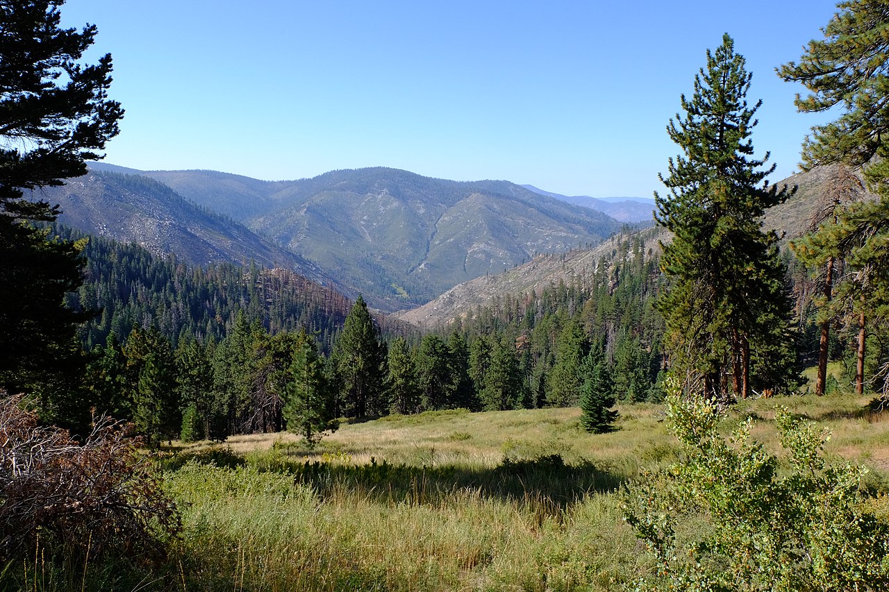
Bigdry Mdw-Litldry Mdw Cutoff is a short mountain biking route in California's Golden Trout Wilderness, within the Mt. Whitney Ranger District of Inyo National Forest. The Forest Service manages the land, and the trail is a 0.75-mile ride with a total elevation gain of 106 feet, from a low point of 8,793 feet to a high of 8,891 feet. The route is a quick link between two points in the wilderness, and its low climb makes it an easy addition to a longer day in the area. It sits in the high country, so plan for a ride that stays close to the top of the range. Nearby, the Old Jordan Dennison hike is about 0.7 miles away, and the Snake Creek hike is about 1.1 miles off. For more riding, the Casa-Big Dry Mdw Cutoff is about 1.4 miles away. Troy Meadow Campground, about 9.2 miles away, offers a place to stay.
- Old Jordan DennisonHiking0.7 mi
- Snake CreekHiking1.1 mi
- Casa-Big Dry Mdw CutoffMountain biking1.4 mi
 Soda CreekHikingPhoto: Paul Mono, CC BY-SA 3.0 (via Wikimedia Commons)1.5 mi
- Fish Creek RockRock climbing9.2 mi
- Troy Meadow CampgroundCamping9.2 mi
- Fish CreekCamping9.3 mi
- Rattlesnake CreekCanoeing10 mi
Source: Roamze catalog (indexable pages within 10 miles, PostGIS distance)
 River Springs Cutoff #1Mountain biking · ~3 min drivePhoto: David Bakken, CC BY-SA 2.0 (via Wikimedia Commons)
- Sherman Peak TrailMountain biking · ~28 min drive
- Cannell TrailMountain biking · ~48 min drive
 Cottonwood Pack Station CutoffMountain biking · ~30 min drivePhoto: Wizz4prep, CC BY-SA 4.0 (via Wikimedia Commons)
- Cannell TrailMountain biking · ~50 min drive
 Little Cottonwood CreekMountain biking · ~33 min drivePhoto: Wizz4prep, CC BY-SA 4.0 (via Wikimedia Commons)
- Cannell Meadow TrailMountain biking · ~28 min drive
 Cottonwood LakesMountain biking · ~34 min drivePhoto: Marty B, CC BY-SA 4.0 (via Wikimedia Commons)
- PCT - Pacific Crest TrailMountain biking · ~29 min drivePhoto: Wizz4prep, CC BY-SA 4.0 (via Wikimedia Commons)
- Cottonwood PassMountain biking · ~29 min drivePhoto: Wizz4prep, CC BY-SA 4.0 (via Wikimedia Commons)
Also worth it near here
 Blackrock Mountain TrailHiking · ~5 min drivePhoto: Moo.The.Cow, CC BY 2.0 (via Flickr)
 Jordan Hot SpringsHot spring · ~7 min drivePhoto: David Bakken, CC BY-SA 2.0 (via Wikimedia Commons)
 Kern PeakSummit · ~13 min drivePhoto: David Bakken, CC BY-SA 2.0 (via Wikimedia Commons)
- Fish Creek RockRock climbing · ~16 min drive
Map and trail data © OpenStreetMap contributors
