Booger Spring
- 0.2 mi
- distance
- 79 ft
- climb
Is Booger Spring open right now?
Alert in the area
The Forest Service lists 3 alerts for Coronado National Forest.
Border Barrier Construction Closure
Agency alert covering Coronado National Forest · Order 03-05-00-26-011 · USFS · Coronado National Forest
No Fire Restrictions
Agency alert covering Coronado National Forest · USFS · Coronado National Forest
Barfoot Snake Closure Order 03-05-01-24-004
Agency alert covering Coronado National Forest · USFS · Coronado National Forest
As of · Source: USFS · Coronado National Forest. Agencies don't list every closure — check before you go.
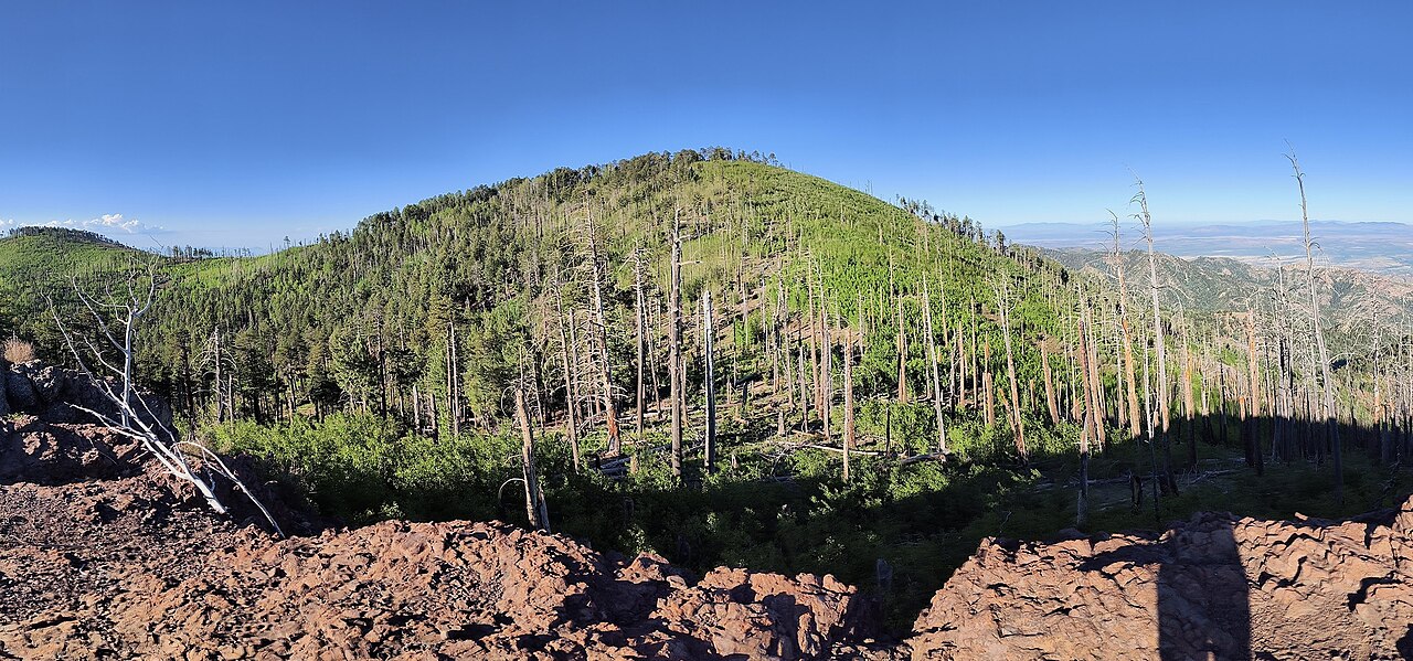
Booger Spring is a short mountain biking route in the Chiricahua Wilderness, part of the Douglas Ranger District of Coronado National Forest in southeastern Arizona. The Forest Service manages the land, and the route sits within designated wilderness. The ride is about 0.19 miles long, with a one-way climb of 79 feet from a starting point near 9,257 feet to a high point of 9,258 feet. The steepest stretch comes at about 0.12 miles in, with an 8% grade. The route is short enough to fit easily into a longer day of riding or hiking in the area. Bear Wallow, a hike, is just 0.1 miles away, and the Fly mountain biking route is about half a mile off. Green House, another hike, is 0.6 miles away. For an overnight stay, Rustler Park campground is about 2.5 miles away.
- Bear WallowHiking0.1 mi
- FlyMountain biking0.5 mi
- Green HouseHiking0.6 mi
- CentellaMountain biking0.7 mi
- Rustler ParkCamping2.5 mi
- Herb MartyrCamping3 mi
- SycamoreCamping3 mi
- Sunny FlatCamping6.5 mi
Source: Roamze catalog (indexable pages within 10 miles, PostGIS distance)
 SaulsburyMountain biking · ~3 min drivePhoto: jacobogre, CC BY-SA 4.0 (via Wikimedia Commons)
- Hughes TankMountain biking · ~8 min drivePhoto: jacobogre, CC BY-SA 4.0 (via Wikimedia Commons)
- Turkey SpurMountain biking · ~8 min drivePhoto: jacobogre, CC BY-SA 4.0 (via Wikimedia Commons)
- Rock CreekMountain biking · ~4 min drivePhoto: jacobogre, CC BY-SA 4.0 (via Wikimedia Commons)
- Bear WallowMountain biking · Next door
- FlyMountain biking · Next door
- CentellaMountain biking · ~1 min drive
- Green HouseMountain biking · ~2 min drive
- AnitaMountain biking · ~2 min drive
- CrestMountain biking · ~2 min drive

Map and trail data © OpenStreetMap contributors
