Silver Trail
- 0.5 mi
- round trip
- 152 ft
- climb
- 5,208 ft
- high point
- Out and back
- route
- Apr–May, Sep–Oct
- best months
Is SILVER TRAIL open right now?
Closure in the area
There's a closure order in Apache-Sitgreaves National Forests. It doesn't name SILVER TRAIL, so check the source for the area it covers (2 listed).
Temporary Emergency Closure
Agency closure covering Apache-Sitgreaves National Forests · Order 03-01-26-004 · USFS · Apache-Sitgreaves National Forests
Benny Creek Campground/Southfork Day Use Area Closure Order - Springerville Ranger District
Agency closure covering Apache-Sitgreaves National Forests · Order 03-01-25-06-004 · USFS · Apache-Sitgreaves National Forests
Forest Road Conditions Alert
Agency alert covering Apache-Sitgreaves National Forests · USFS · Apache-Sitgreaves National Forests
No Fire Restrictions
Agency alert covering Apache-Sitgreaves National Forests · USFS · Apache-Sitgreaves National Forests
As of · Source: USFS · Apache-Sitgreaves National Forests. Agencies don't list every closure — check before you go.
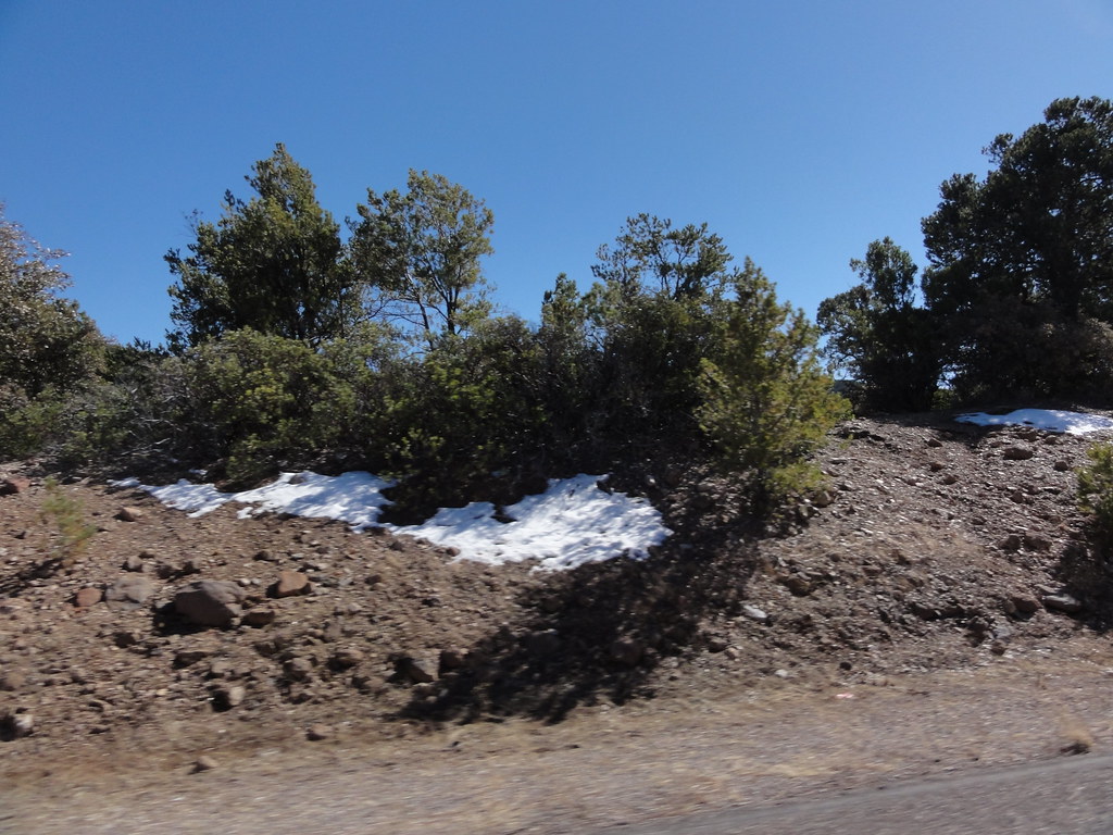
Silver Trail is a short, easy out-and-back hike in the Clifton Ranger District of the Apache-Sitgreaves National Forests in eastern Arizona, managed by the Forest Service. The trail is about half a mile long, with a total elevation gain of 152 feet, and it starts and ends at roughly 5,208 feet, with the high point at 5,208 feet and the low point at 5,130 feet. The steepest stretch comes early on, at about 0.12 miles in, with a grade of about 4 percent. Spring and fall are the most comfortable times to go. Typical averages from a nearby weather station in Glenwood, New Mexico, show April highs around 74°F and October highs around 76°F, while July and August average highs near 91°F with more wet days. The hike takes about half an hour. Brushy is about 1.2 miles away, and Hickey Springs, Pleasant Valley and Badger Trail are all within about 5.5 miles.
- BrushyHiking1.2 mi
- Hickey SpringsHiking4.6 mi
- Pleasant ValleyHiking5.1 mi
- Badger TrailHiking5.5 mi
- WoodsHiking5.9 mi
- Pat MesaHiking7.1 mi
- Santa Cruz TrailHiking7.2 mi
- Coal Creek CgCamping8.5 mi
Source: Roamze catalog (indexable pages within 10 miles, PostGIS distance)
 Kiko TrailHiking · ~12 min drivePhoto: chief_huddleston, CC BY 2.0 (via Flickr)
 Blackjack Spur Trail (568A)Hiking · ~14 min drivePhoto: ossguy, CC BY-SA 2.0 (via Flickr)
- Black JackHiking · ~13 min drivePhoto: ossguy, CC BY-SA 2.0 (via Flickr)
- Spur Cross Trail 8Hiking · ~21 min drive
- BrushyHiking · ~2 min drive
- Badger TrailHiking · ~9 min drive
- Hickey SpringsHiking · ~8 min drive
- Horse Canyon Trail #36Hiking · ~27 min drive
- PlateauHiking · ~17 min drive
- Blowout TrailHiking · ~13 min drive
Best time to visit SILVER TRAIL
Best months: April–May and September–October. Best months have typical highs of 55–85 °F, lows of 30 °F or warmer (32 °F where the station doesn't record snow), at most one snowy day and no more than 12 wet days.
Jan
57° / 23°
4 wet
Feb
61° / 26°
4 wet
Mar
67° / 30°
4 wet
Apr
74° / 34°
2 wet
May
82° / 41°
2 wet
Jun
91° / 50°
3 wet
Jul
91° / 58°
10 wet
Aug
89° / 57°
10 wet
Sep
85° / 50°
6 wet
Oct
76° / 39°
3 wet
Nov
65° / 29°
3 wet
Dec
57° / 23°
4 wet
Typical high / low (°F) and days with rain or snow, 1991–2020. Measured at Glenwood, NM, 24.4 mi away at 4,725 ft. This station doesn't record snowfall. Source: NOAA NCEI U.S. Climate Normals 1991–2020.
