
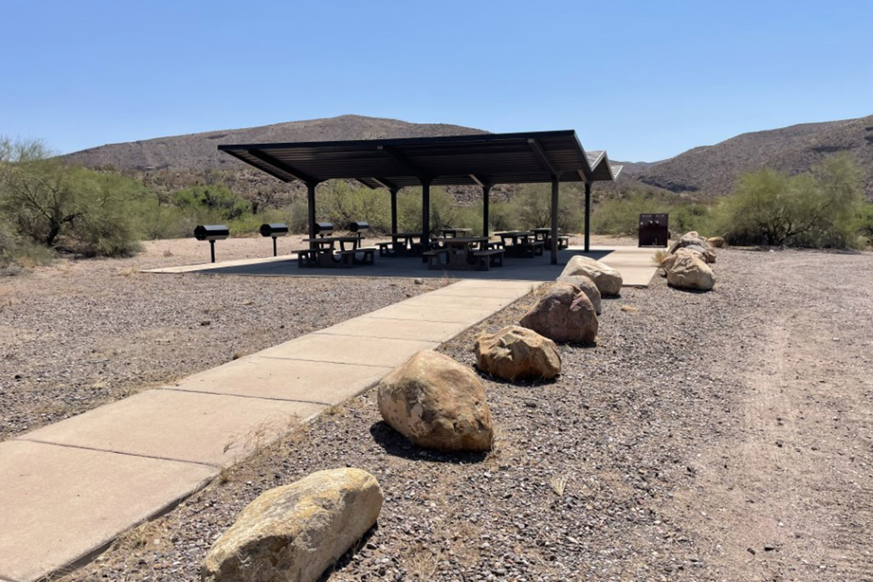
Alpine Village RV Park
Hiking business nearby (~48 mi away) — hasn't claimed their Roamze page yet
Free — you'll pick up right here.
Watch this trail
Sign up to watch it — saving subscribes you to gate, closure and report changes.
Arizona
17.8 mi
Distance
1,155 ft
Gain
6h 31m
Time
No agency boundary, access route or field report is mapped to it — so there is no verdict, and we won't guess. We'll tell you the moment this trail has something to say.
Covered nearby
Trails within 25 miles where we do have a current picture.
Nobody's filed a report here yet — be the first.
Why you'll love it
Woods
AI-suggested draft · review before you go
No permit or access details on file for this trail — check with the local land manager before you go.
The Woods Trail is a 17.8-mile out-and-back hike located in Arizona. With 1,155 feet of elevation gain, this trail offers a moderate challenge for hikers seeking a longer backcountry experience. The out-and-back format allows hikers to turn around at any point if desired, making it adaptable to different fitness levels and time constraints. The trail's elevation profile suggests a gradual climb rather than steep sections, distributing the gain across the full distance. This makes it accessible for experienced hikers looking for a full-day adventure without extreme technical difficulty. The remote desert setting typical of Arizona trails means hikers should prepare accordingly with adequate water, sun protection, and navigation tools. Weather conditions can vary significantly by season, and the exposed terrain offers limited shade in many areas. This hike works well for those seeking solitude and distance in Arizona's natural landscape. Start early to maximize daylight hours, and plan for 6-8 hours of hiking time depending on pace and rest breaks.
Santa Cruz Trail
~3 min drive
1.4 mi · Easy
Pat Mesa
~6 min drive
23 mi · Hard
Plateau
~7 min drive
3.4 mi · Moderate
Falls
~4 min drive
1.7 mi · Easy
Hickey Springs
~9 min drive
20 mi · Hard
Sardine
~8 min drive
3.8 mi · Moderate
Blowout Trail
~7 min drive
1.2 mi · Easy
Pleasant Valley
~9 min drive
13 mi · Hard
Brushy
~11 min drive
3.6 mi · Moderate
Connect
~10 min drive
2.6 mi · Easy
Local operatorsoffering guided trips. You book directly with them — Roamze doesn’t take a cut.
Alpine Village RV Park
Hiking business nearby (~48 mi away) — hasn't claimed their Roamze page yet