Hickey Springs
- 19.6 mi
- round trip
- 1,683 ft
- climb
- 5,560 ft
- high point
- Out and back
- route
- Apr–May, Sep–Oct
- best months
Hickey Springs is a hard hike on Bureau of Land Management land in Arizona's Safford Field Office, about 19.6 miles long and with a one-way climb of 1,683 feet. The trail rises from a low point of 3,788 feet to a high of 5,560 feet, making it a long, steep out-and-back. It's a natural-surface trail that allows horses and bikes, and it is not an accessible trail. Spring and fall are the most comfortable times to go. Typical averages from the nearby Glenwood, NM weather station show April highs around 74°F and October highs around 76°F, with July and August highs near 91°F and the most wet days. Pleasant Valley sits just half a mile away. Owl Creek Campground and the Gila River Boat Put-In are both about 8 miles off, and Granville Campground is about 9 miles away.
Conditions and forecast on Harper Mesa
Daily highs and lows, wind and the chance of precipitation at the summit and route start for the next 7 days, from the Open-Meteo model.
- Pleasant ValleyHiking0.5 mi
 Kiko TrailHikingPhoto: chief_huddleston, CC BY 2.0 (via Flickr)3.3 mi
- SILVER TRAILHiking4.6 mi
- WoodsHiking5 mi
- BrushyHiking5.8 mi
- Owl Creek CampgroundCamping8.1 mi
- Gila River Boat Put-InRiver fishing8.2 mi
- Granville CgCamping9.2 mi
Source: Roamze catalog (indexable pages within 10 miles, PostGIS distance)
- Kiko TrailHiking · ~6 min drivePhoto: chief_huddleston, CC BY 2.0 (via Flickr)
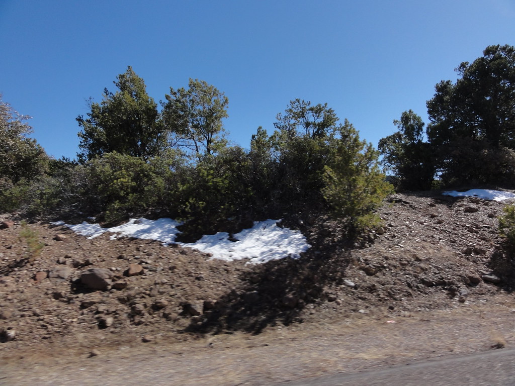 Black JackHiking · ~20 min drivePhoto: ossguy, CC BY-SA 2.0 (via Flickr)
- Blackjack Spur Trail (568A)Hiking · ~21 min drivePhoto: ossguy, CC BY-SA 2.0 (via Flickr)
- Spur Cross Trail 8Hiking · ~16 min drive
- BrushyHiking · ~10 min drive
- Pleasant ValleyHiking · Next door
- SILVER TRAILHiking · ~8 min drive
- SardineHiking · ~14 min drive
- WoodsHiking · ~9 min drive
- Santa Cruz TrailHiking · ~12 min drive
Best time to visit Hickey Springs
Best months: April–May and September–October. Best months have typical highs of 55–85 °F, lows of 30 °F or warmer (32 °F where the station doesn't record snow), at most one snowy day and no more than 12 wet days.
Jan
57° / 23°
4 wet
Feb
61° / 26°
4 wet
Mar
67° / 30°
4 wet
Apr
74° / 34°
2 wet
May
82° / 41°
2 wet
Jun
91° / 50°
3 wet
Jul
91° / 58°
10 wet
Aug
89° / 57°
10 wet
Sep
85° / 50°
6 wet
Oct
76° / 39°
3 wet
Nov
65° / 29°
3 wet
Dec
57° / 23°
4 wet
Typical high / low (°F) and days with rain or snow, 1991–2020. Measured at Glenwood, NM, 28.7 mi away at 4,725 ft. The station sits about 800 ft lower than this place, so expect it a little cooler here. This station doesn't record snowfall. Source: NOAA NCEI U.S. Climate Normals 1991–2020.
Route details
- Distance
- 19.6 mi round trip
- Climbing
- About 1,683 ft
- Starts at
- LIMESTONE TRAILHEAD (#84) (about 3,867 ft)
- Summit
- 4,956 ft
- Difficulty
- Hard
- Time
- About 7.5 hours
Getting there
Park at LIMESTONE TRAILHEAD (#84).
Season
Season: Year-round.
Questions about this route
How long is the Hickey Springs on Harper Mesa?
About 19.6 mi round trip from LIMESTONE TRAILHEAD (#84) (about 3,867 ft).
How much elevation gain is on the Hickey Springs?
About 1,683 ft of climbing round trip.
How hard is the Hickey Springs?
It is rated hard.
Where does the Hickey Springs start?
LIMESTONE TRAILHEAD (#84) (about 3,867 ft).
How long does the Hickey Springs take?
About 7.5 hours round trip.
When is the best time for the Hickey Springs?
Year-round.
